Affectionately called the “Brazilian Caribbean”, Arraial is an ideal option for those who enjoy beaches, receiving thousands of tourists every year who are enchanted by its crystal-clear waters. In addition, the city is perfect for those looking to save money, with prices that are very affordable compared to other destinations in the Lakes Region.
Arraial do Cabo is usually a destination for one-day visitors, coming mainly from Búzios and Cabo Frio, but it has attractions that justify a longer stay. The strong point here is the beautiful and preserved coast. The famous beaches of Pontal do Atalaia impress with a clear blue sea and very clean sand, while Farol beach on Cabo Frio Island, has dunes and white sand – access to it is by boat, where the Gruta Azul is located as well, one of the best free diving spots in Brazil.
Today, the economy of Arraial is characterized by ecotourism, being that the visits of its beaches, the various diving activities and boat tours are among the visitors' favorites.
Deciding what to do in Arraial do Cabo will be easy. As a good coastal destination, Arraial do Cabo offers beautiful beaches and scenery worthy of many clicks! And the beaches of Arraial do Cabo are special for a very particular reason. In the region, there is the phenomenon of resurgence, which brings to the surface deep, clear waters rich in marine life. The abundance of food turns Arraial do Cabo into one of the best diving spots in the country. It is perfect for scuba diving and also for those who want to have fun with snorkeling. The sea receives fantastic marine species, such as dolphins, orcas and whales. A show capable of thrilling!
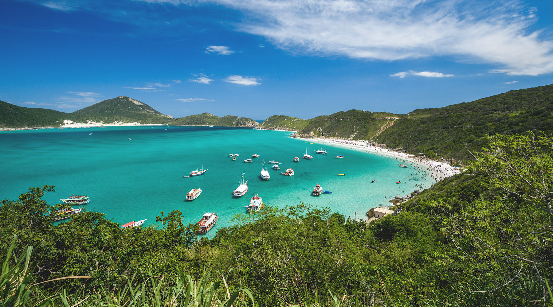
To enjoy the sea of Arraial do Cabo, visit beautiful beaches and seek the opportunity to see great marine animals, be sure to take a boat trip, which is certainly one of the best attractions for those who are in the city. It is worth saying that the beautiful Praia do Farol has access only by boat, so don't miss the tour! If you'd like a complete tour around Arraial do Cabo, it is also worth investing in a 4x4 tour, which offers beautiful viewpoints and incredible sights of Arraial do Cabo.
A trip through Arraial do Cabo will not be complete without a beautiful sunset. Enjoy places like Pontal do Atalaia, Praia Brava and Praia Grande to end a wonderful afternoon. At night, relax in the bars and restaurants of the city, with the right to a good night's sleep in one of the Arraial do Cabo inns.
Hottest month |
February (27 °C avg) |
|
Coldest month |
July (21 °C avg) |
|
Wettest month |
December (155.4 mm avg) |
|
Windiest month |
September (13 km/h avg) |
|
Annual precip. |
898.3 mm (per year) |
Do you want to discover a city rich in culture, art, bars and, on top of that, spectacular cuisine? Then you have to visit the capital of Minas Gerais! The city known as the capital of bars, also has parks, squares, museums, fairs and much more. Furthermore, the people from Minas Gerais (mineiros) are known as one of the most welcoming people in Brazil!
The good mix of a great capital with the feel of a city in the interior quickly conquers visitors who come to Belo Horizonte. At first glance, Belo Horizonte may not be on the travel priority list, however the capital of Minas Gerais is the perfect place for those looking for a quick and low-cost destination. Getting to know Belo Horizonte is easy and very cheap. The city is one of those that only requires a map in hand to be discovered. And the best thing to know is that most of the tourist attractions in Belo Horizonte are free.
Belo Horizonte has a rich cultural circuit, which includes the museums at the Liberdade square (Praça da Liberdade) and the wonderful Pampulha architectural complex, recently declared a World Heritage Site by UNESCO. It is impossible to resist the beauty of the São Francisco church and the curves of the Casa do Baile, especially at sunset. And if you have a little more time there, you may also visit the incredible Inhotim Institute, one of the most beautiful contemporary art museums in the world. Take advantage of your days in the city to understand that the name Belo Horizonte (Beautiful Horizon) goes far beyond a simple nomenclature. The city's parks and viewpoints always offer beautiful landscapes, with sunsets worthy of being tourist attractions, such as the viewpoint Mirante do Mangabeiras.
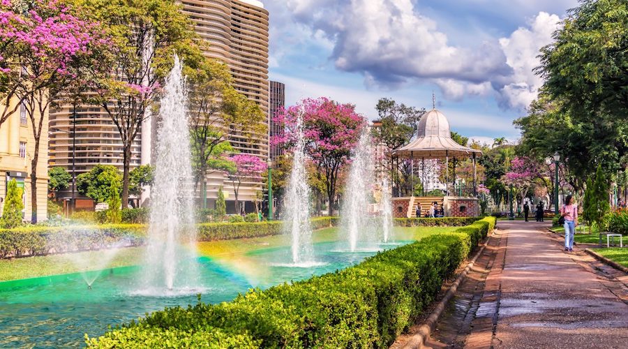
It's obvious that Belo Horizonte is full of good attractions, but one feature in particular is always remembered by locals as being the strong point of the city. We are talking about the bars and restaurants that make life of the mineiros even happier. They often say that in BH people are always drinking to eat or eating to drink. The order doesn't matter. What really matters is tasting and enjoying the best of Belo Horizonte at the bar or restaurant table.
Hottest month |
February (24 °C avg) |
|
Coldest month |
July (19 °C avg) |
|
Wettest month |
December (235.4 mm avg) |
|
Windiest month |
October (11 km/h avg) |
|
Annual precip. |
757.6 mm (per year) |
Búzios (officially: Armação dos Búzios) is a municipality and peninsula in the Southeast of Brazil. The municipality is located 165 kilometer east of Rio de Janeiro, consists of more than twenty beaches and is part of the so-called Costa do Sol.
Main point of the city, Rua das Pedras attracts hundreds of tourists. The place is full of good shops, restaurants, bars and hotels. A real open-air mall.
The city of Armação dos Búzios has more than 280 gastronomic establishments, including bars and restaurants. Seafood is the highlight, but the city also offers Italian, French, Oriental, and cuisines from other nationalities.
The beaches of Búzios are the main attraction of this destination. Búzios has incredible beaches and each one of them deserves a visit. In addition to the beaches, those who visit Búzios can intensely enjoy wonderful pousadas (bed & breakfasts), enjoy the excellent cuisine, do some shopping, have fun in lively clubs, take boat trips and be dazzled by magnificent landscapes.
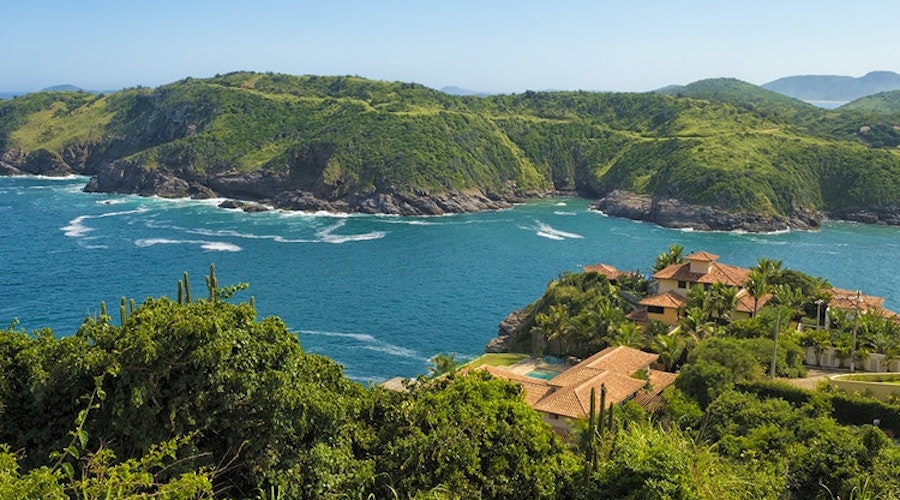
During the summer months, Búzios is bustling. The beaches are almost always crowded, Orla Bardot (the boardwalk) offers the spectacle of the sunset for hundreds of tourists and Rua das Pedras attracts crowds at dusk for delicious dinners. In low season, the weather is the most tranquil and crowds will have left, worthy a visit to recharge your energy.
Búzios fits all desires. As a bonus, you can easily explore the neighboring cities, such as Cabo Frio and Arraial do Cabo. Enjoy your days in Búzios, you'll have so much to do that you won't even notice that the city is very small.
Hottest month |
February (27 °C avg) |
|
Coldest month |
July (21 °C avg) |
|
Wettest month |
December (137.6 mm avg) |
|
Windiest month |
September (13 km/h avg) |
|
Annual precip. |
976.4 mm (per year) |
Campos do Jordão, known as the Brazilian Switzerland, is full of wonderful places. It's practically impossible to travel there and stay put, as the variety of sights is amazing. In the city, the architecture of its buildings also stands out.
It is the highest city in Brazil reaching 1,628 meters above sea level, and surrounding areas even reach more than 2000 meters above sea level. It is often visited by tourists from all over Brazil, but mainly from São Paulo, who climb the mountain to enjoy the winter weather.
Campos do Jordão offers attractions for all tastes – from lovers of nature and extreme sports to those who just want a quiet urban tour – but to set up your stay with the right attractions, research is essential, as the city still lacks in publicity. Many printed guides distributed there are outdated or reproduce the “official” version of the attractions, where everything is wonderful and unmissable. It is not. But there are many great attractions!
For art lovers, a good itinerary start can be a visit to the Boa Vista Palace, the state government's winter headquarters. The building is already worth the visit. In addition, it has a collection of 3,500 works of art and guided tours are free. Nearby, the Felícia Leirner Museum is also a must-see, with outdoor works of art by the sculptor. The park also houses the Cláudio Santoro auditorium, home of the Campos do Jordão Winter Festival.
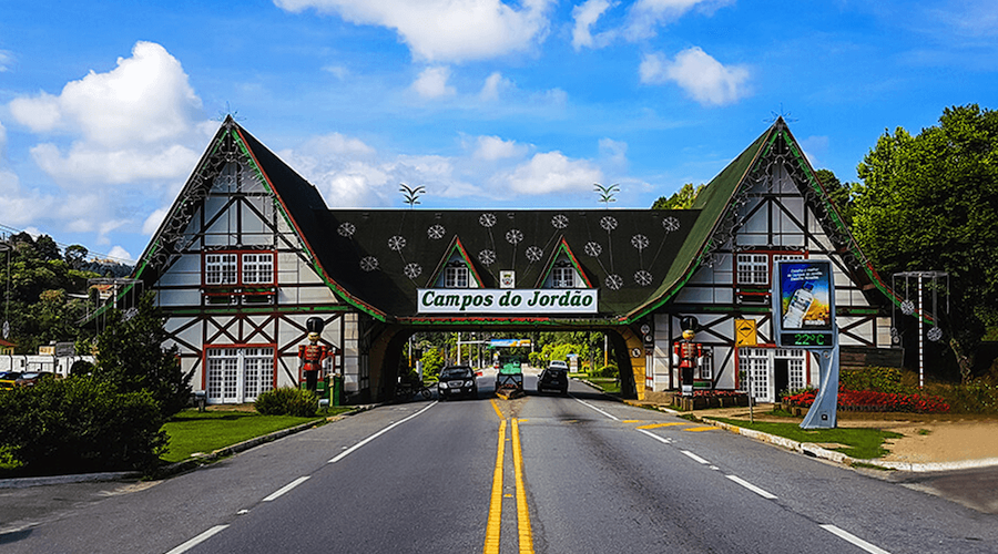
The state park Horto Florestal is the right destination for those seeking contact with nature, allowing pleasant trails through the forest. The gardens of Amantikir Park and the Flores que Voam butterfly garden also make up for a nice route. Want to add more excitement? Stop by the Tarundu Leisure Center or the Radical Ranch for an incredible zipline ride amidst the araucárias (pine trees).
No matter what you choose, in the late afternoon, it is the decorated streets of Capivari where everyone meets to enjoy the cold weather, stroll, shop or just sit and watch the coming and going of tourists.
Hottest month |
February (17 °C avg) |
|
Coldest month |
July (12 °C avg) |
|
Wettest month |
January (266.8 mm avg) |
|
Windiest month |
October (8 km/h avg) |
|
Annual precip. |
1347.9 mm (per year) |
Capitólio is amazing! Located between the Serra da Canastra and Lake Furnas, this destination brings together countless waterfalls, trails and breathtaking boat rides!
Who said that in Minas Gerais there is no sea? In Capitólio, the Furnas Dam provided the region with a gigantic lake of emerald green water. With 1,440 km², it is one of the largest artificial lakes in the world.
Designed to be just the reservoir for the Furnas hydroelectric dam, the lake became the ideal setting for speedboat, catamaran and jetski rides, and for activities such as abseiling, hang gliding, fishing or just for a refreshing swim in its waters.
When setting up a trip through Capitólio, start with a speedboat ride to enjoy the waters of Lake Furnas, offering delicious baths in the Lagoa Azul waterfall, the Cascatinha and Ilha waterfalls, and the Vale dos Tucanos. Then, go up to Capitólio's canyon viewpoint to see all the beauty of Furnas Lake from above, where two beautiful waterfalls complete the most famous view of the region.
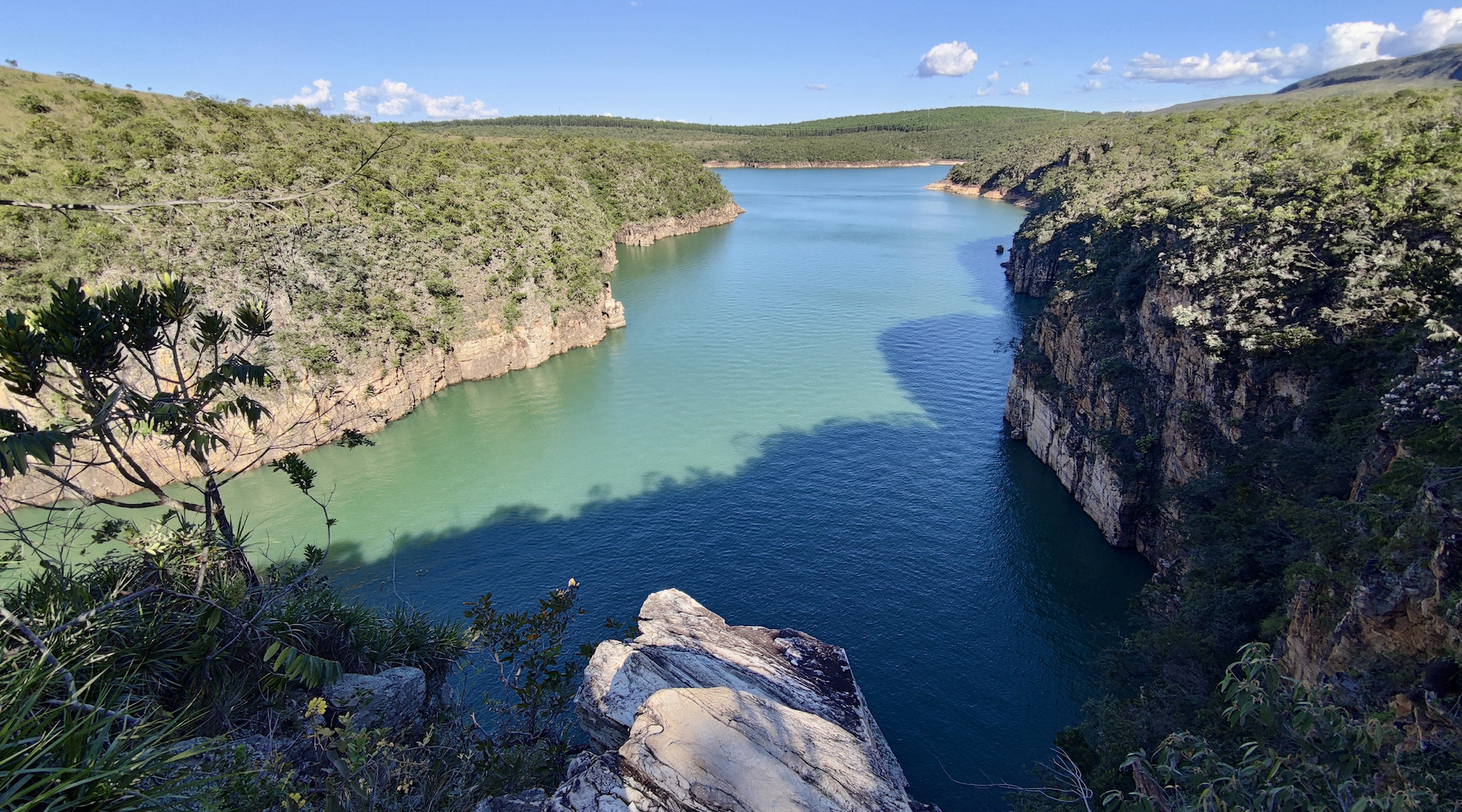
Once completed the tours that bring so many people to Capitólio, take the opportunity to calmly enjoy other waterfalls, some with circuits that easily make for a good day's tour, such as the waterfalls of Trilha do Sol, Paraíso Perdido, Pé de Serra and Retiro Viking. With more time, it's also worth going to Cachoeira (waterfall) do Filó, Cachoeira Poço Dourado, Cachoeira Fecho da Serra, Pedreira Lagoa Azul and the magnificent Cachoeira Casca d’Anta, in the Serra da Canastra National Park. A week will be too short!
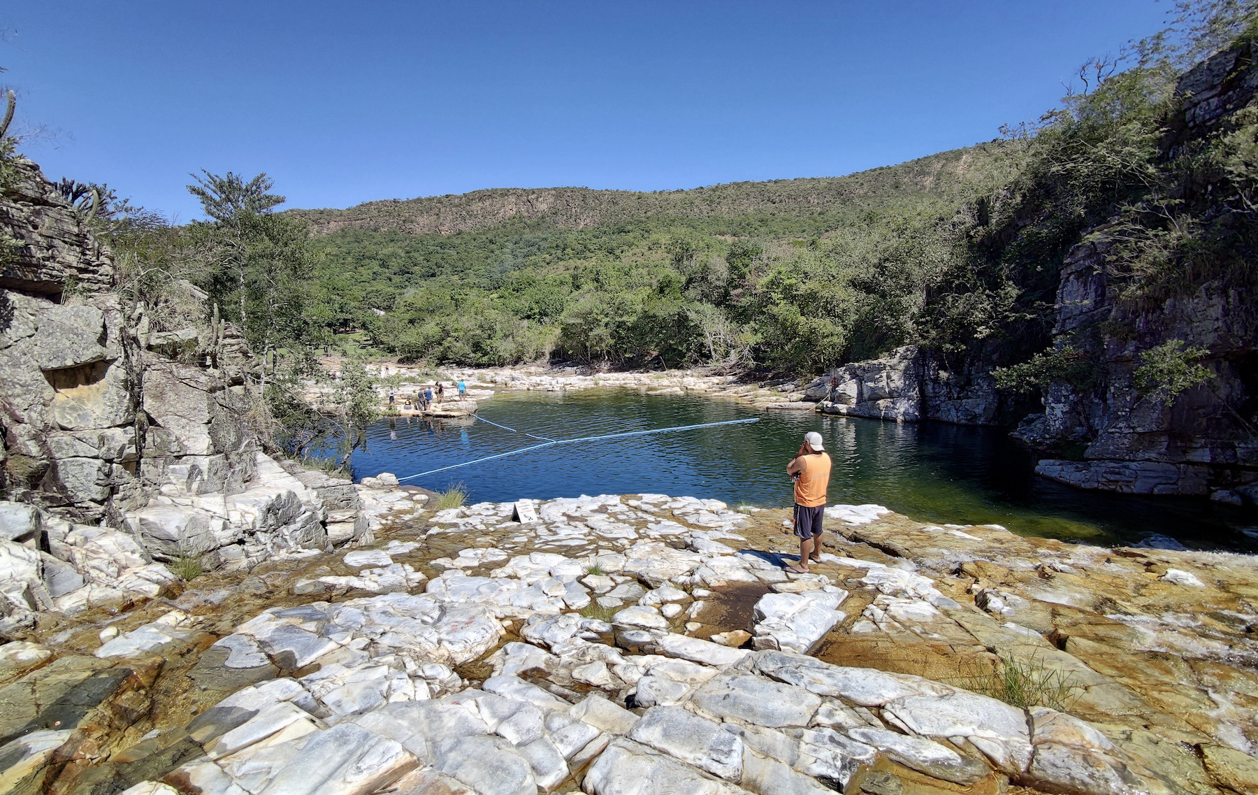
As a city that has gained great tourist prominence, Capitólio has a good infrastructure to receive travellers and has many accommodation options to receive tourists of different profiles, being it possible to find hotels, chalets, hostels and even ecoresorts with swimming pools and lots of green area.
Hottest month |
October (23 °C avg) |
|
Coldest month |
June (17 °C avg) |
|
Wettest month |
January (216.1 mm avg) |
|
Windiest month |
September (11 km/h avg) |
|
Annual precip. |
1157.1 mm (per year) |
Diamantina is one of the most relevant tourist cities in Minas Gerais. On the cobblestone streets and slopes, the mansions, churches and buildings, as well as the local culture, preserve much of the colonial legacy, when extraction and mining formed the economic base of the region.
Diamantina has its entire history linked to the exploration of gold and diamonds in the region. Thanks to the beauty and care of the historic center, the city received the title of cultural heritage by Unesco in 1999. In the small streets and alleys, you can hear the local guitar music, fanfares and serenades; it's worth braving its slopes to check out the churches and small craft shops. Diamantina is part of the Estrada Real and is on the Road of the Diamonds (Caminho dos Diamantes), which connects the city to Ouro Preto.
Every day more busy, Diamantina has treasures that go beyond the history linked to the extraction of diamonds in the 18th century. The charming houses and centuries-old churches that make up the cobblestone streets are among the biggest attractions in Diamantina. The colonial buildings, in addition to being enchanting, are the stage for the greatest local spectacle: the Vesperata. The show brings together dozens of instrumentalists who thrill visitors in musical interpretations under the command of a conductor. All on the balconies of the historic buildings.
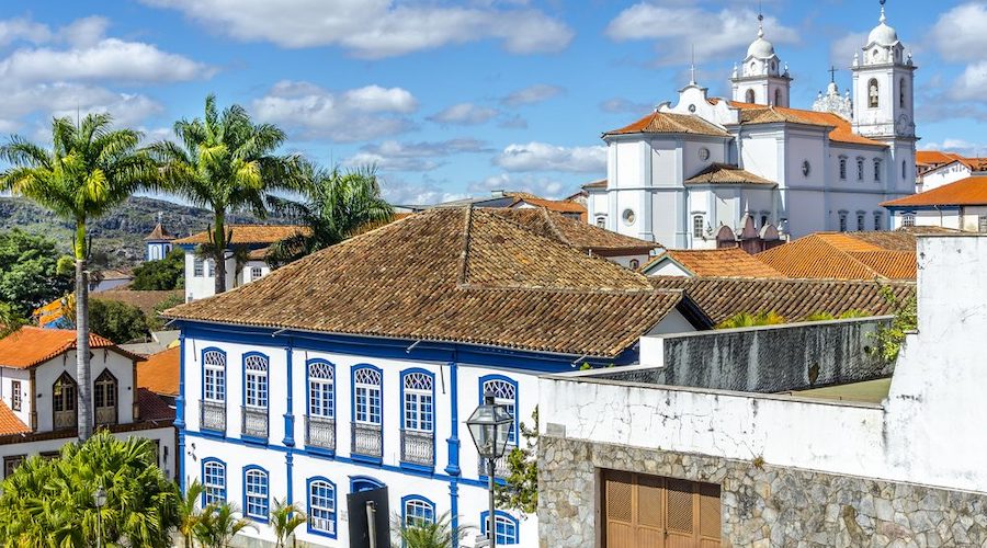
Diamantina is a small town and the most touristic area can be visited in a few days. Without many obligations to fulfill, Diamantina is ideal for enjoying calmly and enjoying every minute to relax. Among the main tourist attractions, be sure to check out the Nossa Senhora do Carmo Church, the São Francisco de Assis Church and the Nossa Senhora do Rosário dos Pretos Church, as well as more recent works, such as the Metropolitan Cathedral, located in the heart of the Historic Center, and the Sagrado Coração de Jesus Basilica.
Hottest month |
February (21 °C avg) |
|
Coldest month |
July (16 °C avg) |
|
Wettest month |
December (391.4 mm avg) |
|
Windiest month |
September (11 km/h avg) |
|
Annual precip. |
1727.2 mm (per year) |
The name of the city, Holambra, is the conjunction of the following syllables: “hol” from Holland, “am” from America and “bra” from Brazil. It was officially founded in 1991, but its Dutch roots date back to the late 1940s, with the mass flight of Dutch victims of World War II.
About 500 immigrants arrived in Brazil. Soon they started to produce dairy products with Dutch cattle that they brought here, but it was with the flowers that the city gained fame.
Just as the European country is known as “the garden of the world”, Holambra is the garden of Brazil: in 1970, it started to cultivate, produce and sell flowers and plants. Currently, it is the largest exporter of the product in all of Latin America, in addition to being responsible for 40% of national production.
In Holambra, it is possible to visit flower shops throughout the year, but it is in September that the biggest event in the city takes place: Expoflora. It brings together exhibitions of the famous tulips and other plants, in addition to holding a parade, with a shower of petals and lots of music, crafts and dances typical of the Netherlands.
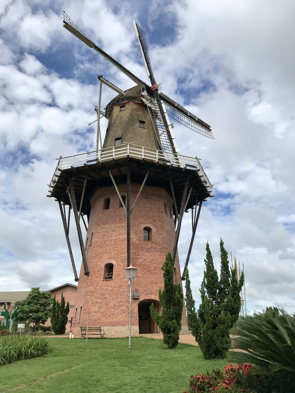
The Dutch influence also appears in the architecture, in the Holambra History Museum and in restaurants and sweet shops. And, as the city was founded a short time ago, it is still possible to find some of the first immigrants to settle here on the streets.
Hottest month |
December (24 °C avg) |
|
Coldest month |
July (19 °C avg) |
|
Wettest month |
January (198.3 mm avg) |
|
Windiest month |
September (11 km/h avg) |
|
Annual precip. |
972.7 mm (per year) |
Beaches, waterfalls, mountains..imagine all this in one place. Add the charm of a small town, but with all the infrastructure for tourists. That's Ilhabela, the most sought after destination on the North Coast of São Paulo.
Tourism is the basis of llhabela's economy, which is part of a select group of 15 municipalities considered seaside resorts by the state of São Paulo. The sector receives great attention from the city hall, government and private initiatives, which promote various events throughout the year, bringing visitors to the island even in the low season. However, it is during the high season that tourism is concentrated, a time when the population (approximately 38 thousand inhabitants) can multiply up to five times.
But tourism developed more intensely only from 1960 onwards, after the implementation of the ferry. Until the 1950s, the population was genuinely Caiçara (the traditional inhabitants of the coastal areas of Southeastern and Southern Brazil). After that, the first migrants began to arrive, mainly from the capital of São Paulo. But it is still possible to find native Caiçara communities living in more isolated regions, many even without electricity or communication, surviving from fishing and handcrafts.
The rugged landscape that covers Ilhabela helps in the formation of its main tourist attractions. Excursions will be filled with bathing in the sea and delicious waterfalls in the middle of the Atlantic forest. There are more than thirty beaches in Ilhabela for tourists who want to rest their feet in the sand. And the good news is that most of them are easily accessible by road, without the need for a boat or long hikes.
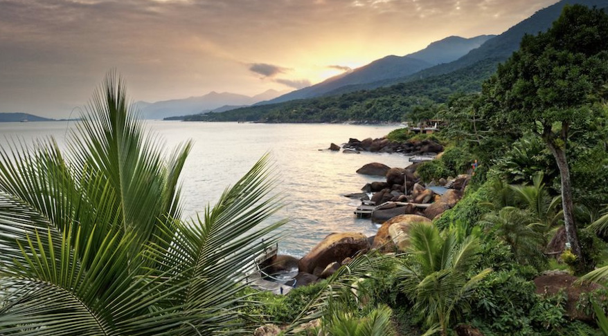
Some more isolated parts of the island, let's not deny it, require some extra sacrifice to be visited. Getting to Praia do Bonete, Praia de Castelhanos, Praia do Jabaquara and other small paradises require a little more than an unpretentious walk along the shore. But nothing that a boat ride or a 4x4 won't solve. The important thing is to enjoy it as much as possible, from early morning until sunset, which is usually dazzling from stretches of sand such as on Praia do Curral, Praia do Julião and Praia do Perequê.
Ilhabela, apart from the beaches, pleases in full with charming inns, good restaurants, lively nightlife and a rich cultural agenda, with events that attract thousands of tourists. During high season, it's advised to plan your trip well. A lot of people will have the same idea of travelling and the traffic jam to get to Ilhabela can interfere a little with the plans for peace. It's guaranteed, however, that after crossing the ferry, there will be no shortage of places on the island to find peace and happiness!
Hottest month |
February (26 °C avg) |
|
Coldest month |
July (21 °C avg) |
|
Wettest month |
January (253.8 mm avg) |
|
Windiest month |
September (10 km/h avg) |
|
Annual precip. |
1457.3 mm (per year) |
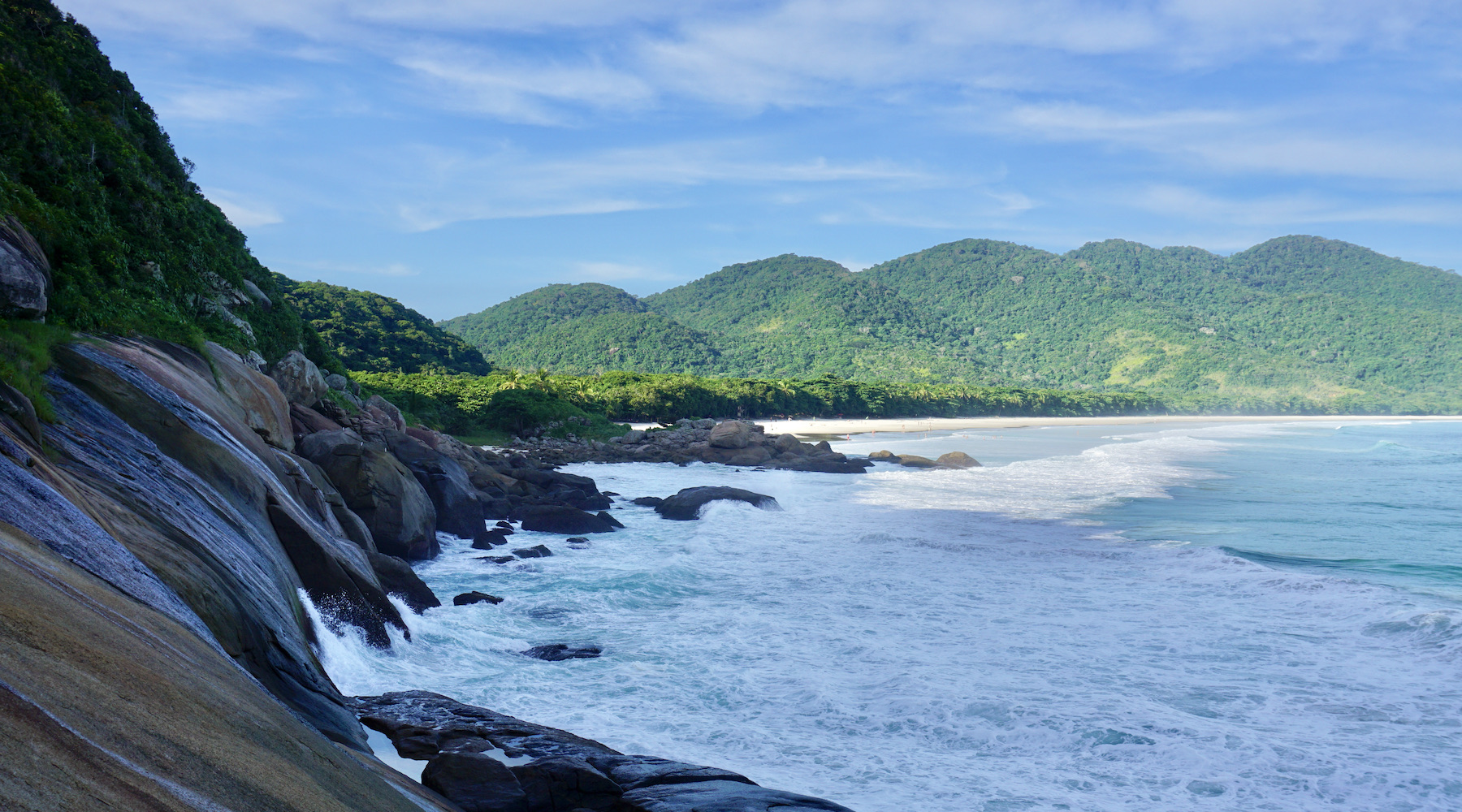
The largest island in the bay of Angra dos Reis, Ilha Grande has more than one hundred beaches – among them, some of the most beautiful of the Brazilian Southeast, such as Lopes Mendes, Aventureiro and Cachadaço. The archipelago, however, offers more than idyllic settings. The crystal clear waters are home to rich marine life, the trails through the Atlantic forest reveal rivers and waterfalls, and the rustic atmosphere is guaranteed by the informality of Vila do Abraão, the center of the island. On Ilha Grande no cars or motorcycles circulate – you get there only by boat, departing from Angra or Mangaratiba, in a journey of about an hour and a half.
Ilha Grande has attracted more and more visitors from all over the country and has already become one of the main destinations in Rio de Janeiro for those looking for sun, sea and, of course, many islands. Located just 150 kilometer from the city of Rio de Janeiro, Ilha Grande together with Paraty makes an excellent trip combo for sea lovers, granted the title of World Heritage by Unesco. A destination that still preserves its natural characteristics, where you can enjoy beaches, waterfalls, mangroves and incredible trails in the midst of the intense Atlantic forest.
To get to know Ilha Grande, you will have several agencies that offer tours around the region, the most popular being the boat and speedboat itineraries on the beaches and islands around Ilha Grande. It's worth investing in each one of them! Those who prefer the more adventurous road will also have several well-marked trails available that lead to several beaches and waterfalls on Ilha Grande.
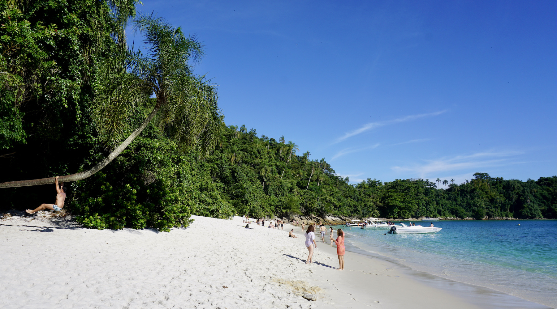
The standard tour for those visiting the island is to visit beaches. And if you are a tourist who only likes big cities surrounded by a lot of concrete, better look for another destination. There are not many attractions on Ilha Grande besides the beaches. To be honest, everything revolves around them. There are no cinemas, theaters, museums, shopping malls (but there are some interesting shops), large buildings or monuments. But if you are passionate about sea and sand, you will certainly be very happy.
After a day of sightseeing, there's nothing like trying delicious food accompanied by a good cold beer. And this is not lacking in Ilha Grande! Gone are the days when the island had little restaurant supply. Now it is possible to enjoy the cuisine of several countries, some even very refined and, of course, taste everything that revolves around fish and seafood that arrives fresh on the island.
Hottest month |
February (23 °C avg) |
|
Coldest month |
July (18 °C avg) |
|
Wettest month |
January (143.8 mm avg) |
|
Windiest month |
September (8 km/h avg) |
|
Annual precip. |
944.2 mm (per year) |
Maresias, internationally known for surfing championships and one of the best infrastructures on the North Coast of São Paulo, has become one of the main hubs of sophisticated tourism in the country. With three kilometer long white sand beaches and crystal clear water, Maresias is considered the São Paulo version of Rio's Copacabana. The sea has strong breaks, suitable for surfing, and home to several championships, including world stages. Canto do Moreira, south of the beach, offers the best conditions for practicing these activities.
Full of bars, parties and lots of people – predominantly a younger crowd – Praia de Maresias is home to natural beauty that attracts visitors from all over the country.
But whoever thinks that Maresias only offers beaches is wrong. Contrary to what many people think, Maresias is not a city, but a district of São Sebastião, a seaside resort on the North Coast of São Paulo.
Maresias is synonymous to surfing; it is home to world champion Gabriel Medina – and its waves have also staged several world championships.
But in addition to the famous beach, there are several tours in Maresias and around the city of São Sebastião, such as visiting waterfalls, hiking trails, rappelling, paragliding and activities involving ecotourism in the Serra do Mar State Park.
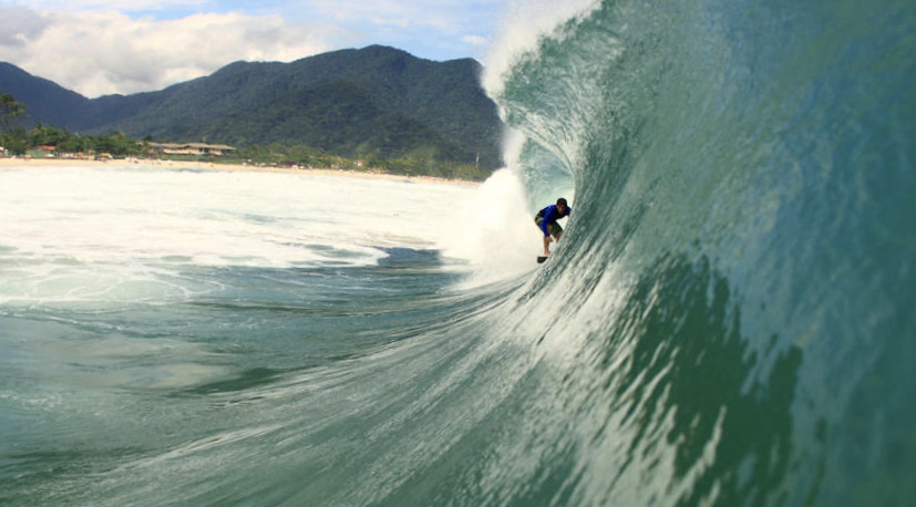
Although Maresias is the most famous beach, it is not the only one in the region. There are several other beautiful beaches that are worth visiting in São Sebastião. And we are talking about more than thirty beaches, spread over 100 kilometer of coastline.
One thing is certain: there is a lot to do in Maresias. And it doesn't matter if you travel as a family, with friends, as a couple or even alone. You'll definitely enjoy it!
Hottest month |
February (26 °C avg) |
|
Coldest month |
July (21 °C avg) |
|
Wettest month |
January (257.4 mm avg) |
|
Windiest month |
September (10 km/h avg) |
|
Annual precip. |
1442.7 mm (per year) |
The architectural beauty of Ouro Preto is incredible in itself. Walking around here seems like a trip back in time, especially considering that its historic center was the scene of great revolutions. Believe that you will be enchanted by every corner in the city of Ouro Preto.
You can be sure that you will be impressed by the buildings and facades of the houses, all colorful and well preserved. Do everything on foot if possible, walking through its streets you can feel like being in the 18th century, when the region was one of the most important in the country.
And don't make the mistake of thinking that Ouro Preto is all about churches. The city is full of special places, rich in history and information. Plus, there are beautiful parks and great day trips to nearby towns.
Ouro Preto manages to keep travellers entertained for many days amidst churches, mansions and colonial houses. There are dozens of tourist spots to visit and many incredible scenery to photograph. In Ouro Preto, the traveller will be able to appreciate important traces of colonial architecture, works by some of the most expressive names in national art – such as Aleijadinho and Mestre Ataíde –, museums full of good surprises and also experience the most traditional flavors of Minas Gerais. Yess, Ouro Preto's history is also represented on the city's tables and this is one of the best experiences there. Impossible to resist a good cachaça and a tasty dish with spices from Minas Gerais.
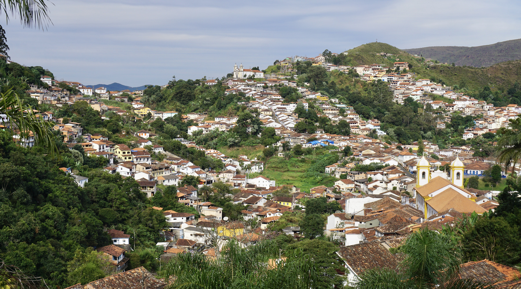
Despite the historic atmosphere constantly recalled in the colonial facades that surround the streets of the center, Ouro Preto also shows itself with a surprising joviality; known for being a great university center, which each year receives new young residents. And if, during the day, the tours in Ouro Preto are destined to the religious, artistic and architectural circuit, at night, the best thing is to go in search of the festivities. The high concentration of university students animates the city especially during carnival, when Ouro Preto becomes one of the most sought after destinations in Brazil.
Hottest month |
February (20 °C avg) |
|
Coldest month |
July (15 °C avg) |
|
Wettest month |
December (280.4 mm avg) |
|
Windiest month |
September (9 km/h avg) |
|
Annual precip. |
1257.6 mm (per year) |
With colorful historic buildings, beautiful beaches and a unique charm, Paraty is one of the most coveted destinations on the so-called Costa Verde, on the South Coast of Rio de Janeiro and almost bordering São Paulo.
Don't be surprised if, when travelling to Paraty, you have the feeling of stepping back in time: the simple layout of the colonially built houses and churches reveal that the history of Paraty is ancient.
In fact, the region was inhabited by indigenous Guaianás before the arrival of the Portuguese. But its peak came with the gold cycle, when Paraty became part of the mandatory route between Minas Gerais and Rio de Janeiro. Moreover, the so-called Estrada Real is one of the important places to visit in Paraty during your visit.
Paraty brings together history and truly stunning natural landscapes and, best of all, Paraty is in one of the most beautiful bays in the country. The region, known as Costa Verde, offers more than a hundred beaches and islands for those who want to enjoy the sunny days. And for those who prefer a closer contact with the Serra do Mar, there is also a wide variety of waterfalls to be explored by travellers in Paraty.
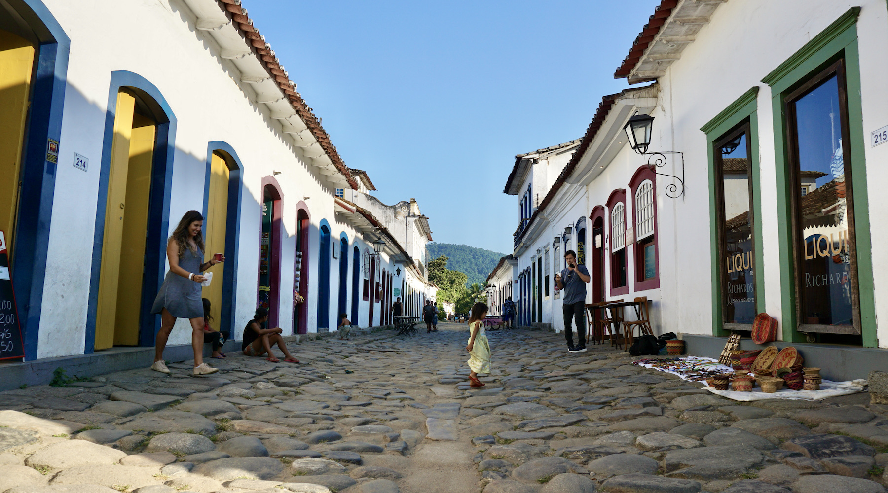
Paraty's natural beauties and history are undeniable, but the city has more. Paraty has a certain air that also inspires cultural production. The Historic Center has shops full of handicrafts, inviting bookstores, and ateliers of local artists are everywhere. It is impossible to deny this vocation in the face of events such as the Paraty International Literary Festival, FLIP and Paraty em Foco, which brings together photographers from all over the country.
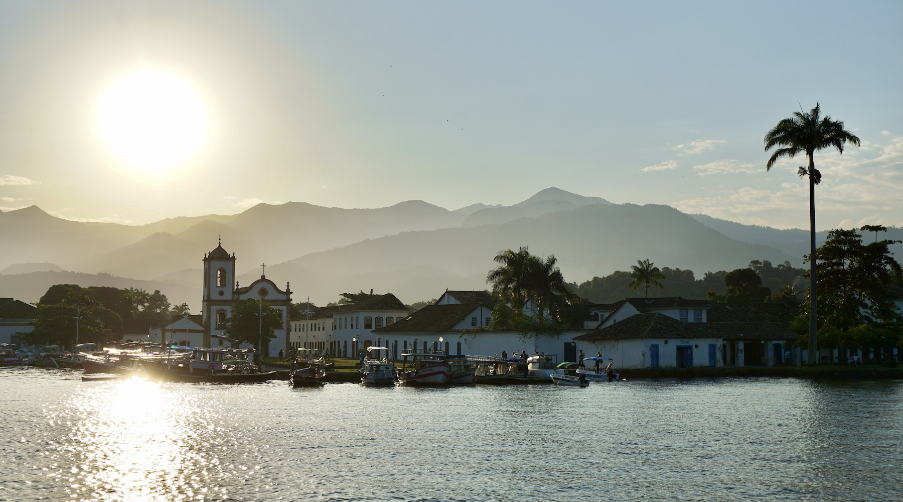
As if the natural beauty, the historical character and the cultural excitement were not enough, Paraty is also a gastronomic delight. Life in the city takes place among dozens of good restaurants that offer sophisticated menus, with mixtures worthy of great chefs. The outdoor tables, in front of the historic churches, will enchant any tourist, while the dishes please even the most demanding palates. When sitting down to dinner, be sure to toast with a good artisan cachaça. They are among the best in the country and you will be drinking a bit of Paraty's history.
Hottest month |
February (27 °C avg) |
|
Coldest month |
July (22 °C avg) |
|
Wettest month |
January (249.0 mm avg) |
|
Windiest month |
October (8 km/h avg) |
|
Annual precip. |
1447.3 mm (per year) |
Golden beaches and lush mountains, samba-fueled nightlife and spectacular football matches: the city of Rio de Janeiro lives up to its nickname of Cidade Maravilhosa (Marvelous City). Just by looking up pictures you can understand why tourism in Rio de Janeiro is famous and popular among travellers from all over the world.
But, only when you arrive in Rio you can really understand why it is a marvelous city. Perhaps because of the wonderful natural landscapes or the mixture of these landscapes with the urban part, which seems disorganized, but has its own order.
Apart from all the wonderful beaches, hills and lakes, Rio also has a population that loves and enjoys the city to the full. And, in a friendly and very cordial way, they love to show their city to travellers so that they too fall in love with it.
The capital of Rio de Janeiro has attractions for all tastes and ages. The most famous tourist spot in Rio, Christ the Redeemer, was included as one of the new seven wonders of the world. And there's so much more to do, discover and revisit if you're passing through town when having the opportunity.
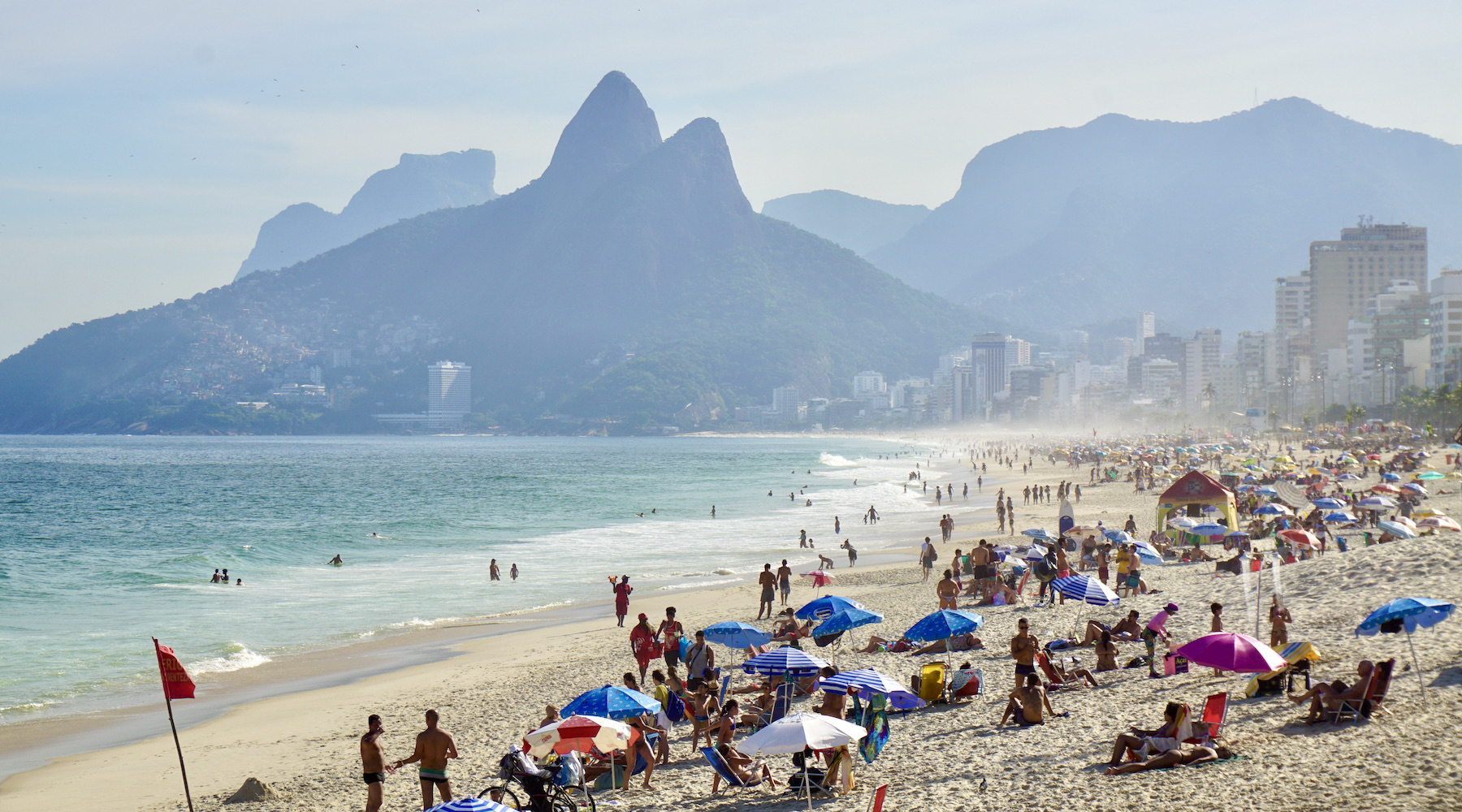
Admire the view of Sugarloaf Mountain (Pão de Açúcar), cycle through Ipanema, relax in the Botanical Gardens, have a coffee at Copacabana Fort, enjoy the night at Lapa and stroll through the interactive Museum of Tomorrow (Museu do Amanhã); some of the dozens of attractions that Rio has in store for visitors who like more traditional tours. For those who want something different, how about going for a hike up to Morro da Urca, taking a helicopter ride or enjoying Prainha, on the west side of the city?
All this without mentioning the great events that Rio hosts, such as the Carnival of samba schools and street parties, and New Year's Eve, with a fireworks display that brings together millions of people!
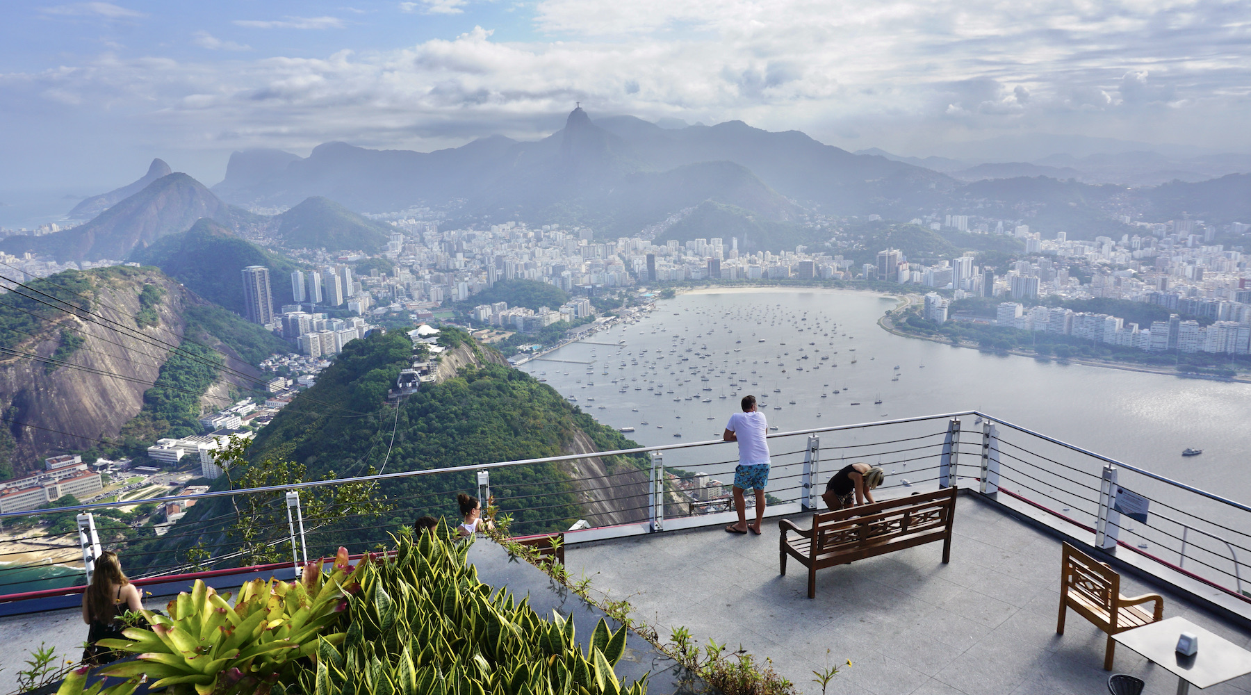
What is remarkable about the city is its ability to constantly offer something new; a landscape seen from a new angle, a new place, an event... Always combining its urban tourism and sensational natural landscapes side by side. Even with the violence, which unfortunately is part of reality, Rio remains a marvelous city!
Hottest month |
February (27 °C avg) |
|
Coldest month |
July (22 °C avg) |
|
Wettest month |
December (146.8 mm avg) |
|
Windiest month |
October (9 km/h avg) |
|
Annual precip. |
844.3 mm (per year) |
Did you know that tourism in SP is always on the rise? The capital of São Paulo has a busy night life and is rich in tourist attractions, from the most exquisite to the most popular.
Anyone who thinks that the capital of work and hustle and bustle has nothing else to offer will be surprised to learn that there is no shortage of tourist attractions in São Paulo!
A lot of culture, fun and beautiful places can be found in this Brazilian state. Not to mention its beautiful beaches scattered throughout the coast and the warm and peaceful climate that exists in the interior of São Paulo.
The offer of activities is great and the time will never be enough to do everything you'd like to do in São Paulo. So don't worry about meeting all your goals on the first visit. Take advantage of every minute to enjoy intensely the biggest city in Brazil and one of the biggest in the world. She won't let you down. São Paulo is one of those places where a million things happen at the same time. So, remember to always keep your eyes open, check the week's schedule and leave a bit of your schedule free for the good surprises that will surely come your way.
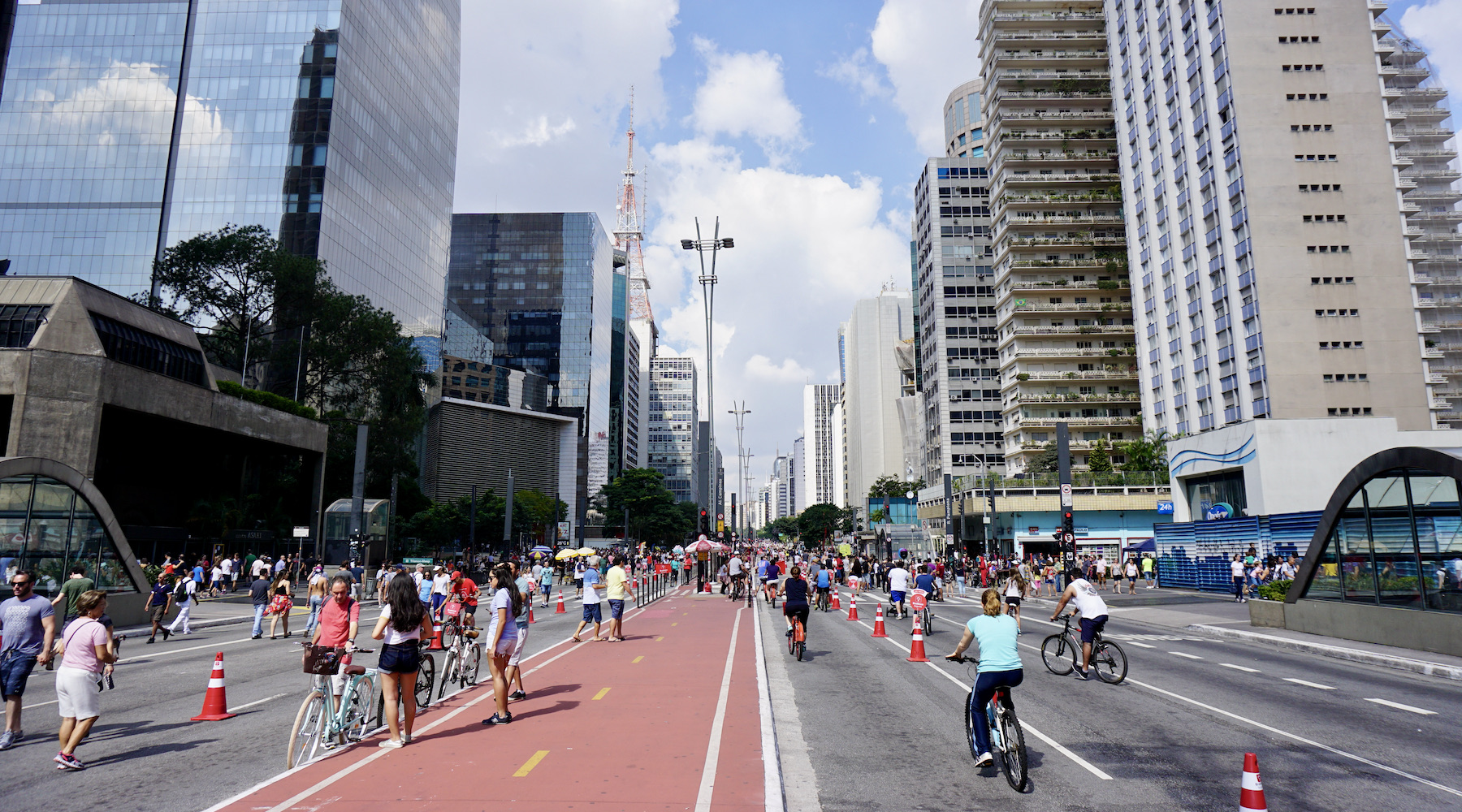
The starting point for many visitors is Avenida Paulista. It is the financial center of São Paulo and a great way to start understanding the city. Avenida Paulista is a summary of local diversity, you'll find cultural spaces, museums, restaurants of various nationalities, cafes, bars, clubs, shopping malls, parks, protests and lots of people! It's truly a wonderful madness. The problem is that Avenida Paulista offers so many attractions that there is possibly no time to see anything else. If you have little time on your hands, focus on visiting the São Paulo Art Museum (MASP), Itaú Cultural and don't miss a coffee at Casa das Rosas. Plan ahead to see what to do on Avenida Paulista.
Hottest month |
February (23 °C avg) |
|
Coldest month |
July (17 °C avg) |
|
Wettest month |
January (227.3 mm avg) |
|
Windiest month |
September (10 km/h avg) |
|
Annual precip. |
1242.7 mm (per year) |
Tiradentes is a mixture of flavors from Minas Gerais: history, culture, religion, nature and gastronomy. It is one of the most charming historic cities in the state, with important examples of Baroque art that enrich its landscape. Thanks to its rich historical heritage, the city was often chosen as a set for recordings of films, soap operas and miniseries, some examples are: “Hilda Furacão”, “Memorial de Maria Moura” and “O Menino Maluquinho”.
A destination that invites visitors to rest and relax, Tiradentes looks like a scenic village, with colonial mansions, gardens and cobblestone alleys coloring the landscape at the foot of Serra de São José.
Similar to neighboring cities Ouro Preto, Mariana and São João del-Rei, the city has a rich and well-preserved history, and a slow pace of life that allows the visitor to walk unhurriedly, contemplating the scenery.
With each passing day, Tiradentes attracts more visitors in search of quiet days combined with elegant and refined inns and unforgettable culinary menus. Unlike Ouro Preto, Tiradentes is not a place to visit dozens of tourist attractions. In Tiradentes, the best thing is to enjoy the city little by little, on delicious walks through the cobblestone streets, always in search of a beautiful setting. From time to time, an attraction will draw attention, such as the Matriz de Santo Antônio Church, the Casa Padre Toledo Museum, the Nossa Senhora do Rosário Church and the Sant’Ana Museum, formerly a jail in the city. Choose comfortable shoes for walking along the stone slopes or take a classic carriage ride. The important thing is never to be in a hurry in Tiradentes.
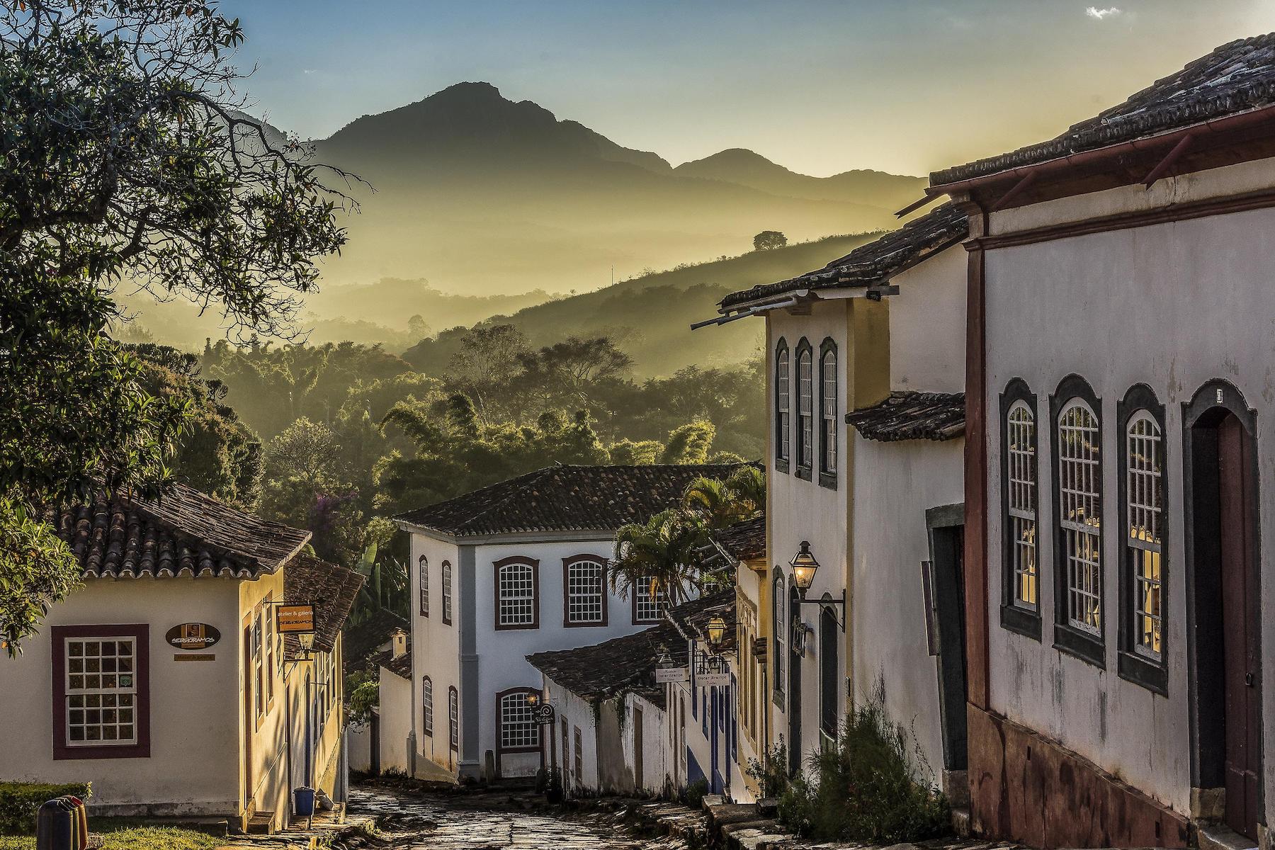
Tiradentes is a destination for those seeking the small pleasures of life. Sit in the shade of Largo das Forras, enjoy the scenery of the Fountain of São José and be enchanted by all the beautiful art, handicrafts and rustic furniture stores in the region. It's even worth a visit to nearby Bichinho. Always with an opportunity to stop and taste the sweets, cheeses and innovative local menus.
A visit to the region would not be complete without visiting São João del Rei, a city that shares the same history as Tiradentes. You can go there by car or bus. But it's really good to complete your trip to the past on a delicious Maria Fumaça tour; a great way to enjoy both historic cities and take home beautiful memories.
Hottest month |
February (21 °C avg) |
|
Coldest month |
July (17 °C avg) |
|
Wettest month |
December (225.9 mm avg) |
|
Windiest month |
September (11 km/h avg) |
|
Annual precip. |
1239.4 mm (per year) |
Nature is the setting for tours and activities in Ubatuba, after all, the city has dozens of beaches, as well as islands, waterfalls and state parks. Diving, trekking and surfing are the official sports, but for those who just want to relax, boat trips take you to idyllic places without requiring any effort.
In addition to paradisiacal beaches and islands, Ubatuba has attractions for all types of travellers: from the quietest to the most lively. Ubatuba has options to taste delicious cuisine and enjoy a busy night out. You can also enjoy and immerse yourself in the region's history, as the city offers a revival of the Caiçara (the traditional inhabitants of the coastal areas of Southeastern and Southern Brazil) culture and has good cultural activities.
Resting your feet in the sand and simply enjoy the beaches of Ubatuba is what most tourists look for in the region. Ubatuba, however, offers several ways to enjoy the city's more than one hundred beaches, with activities that range from diving in underwater trails to boat trips to idyllic islands such as Ilha das Couves and Ilha do Prumirim. Not to mention surfing and practicing other water sports.
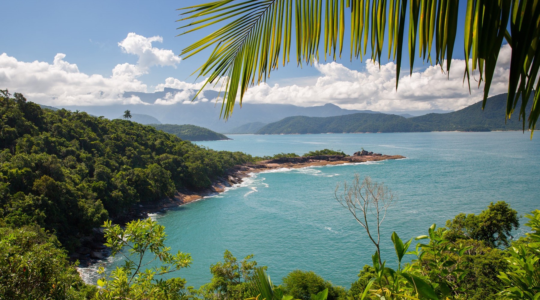
One of the best activities for those in Ubatuba are the trails that lead to some of the most beautiful beaches on the Costa Verde. It is worth starting the tours in Ubatuba on the Sete Praias Trail, which passes through paradises such as Praia da Fortaleza, Praia do Cedro do Sul, Praia Deserto and Praia Grande do Bonete. A great option is the Praia das Sete Fontes Trail, as well as the Praia Brava do Camburi Trail, which leads to one of the most hidden and deserted beaches in Ubatuba.
Apart from the sea, it is also worth enjoying the delicious center of Ubatuba, with several restaurants and shops to enjoy after a day at the beach. At the Ubatuba Center it will also be possible to get to know the TAMAR Project (seaturtle rescue project), which provides a good tour on rainy days.
Hottest month |
February (27 °C avg) |
|
Coldest month |
July (22 °C avg) |
|
Wettest month |
January (336.3 mm avg) |
|
Windiest month |
September (9 km/h avg) |
|
Annual precip. |
1842.7 mm (per year) |
Tourism in Vitória has nature as a strong point: there are beautiful beaches, several parks and squares. You will find trails, many species of fauna and flora, beaches of various types and many areas for sports.
In addition, the city has several historical buildings and a lot of influence from the civilizations that colonized it (and even those that always tried to conquer, like the Dutch).
Despite the various tourist attractions, Vitória ends up being just the gateway to the state for many travellers. A pity, because they miss out on the opportunity to get to know a city that is very good to walk around and very interesting, especially for its architecture, since it was built on a hill and has different levels, in addition to having been modernized in several stages.
It is impossible to visit the capital of Espírito Santo and not stop by Vila Velha, which houses the most important tourist attraction in the state, the Convento da Penha and also the Garoto Chocolate factory, known throughout the country. It is common to pass through different cities in Grande Vitória on the same day, as they are all close to each other, so you can enjoy the best of each one of them. When you want to enjoy the night, don't think twice and go straight to Triângulo, because the region has the best bars and restaurants.
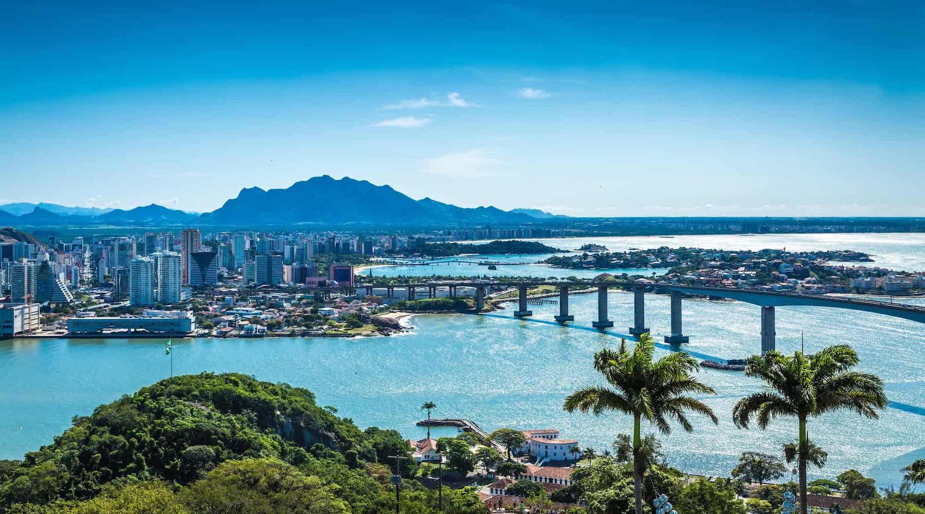
Vitória is known for being a city for work, but this picture has been changing little by little. The capital region has many beaches and warm temperatures, and you can enjoy its coastline throughout the year. Days of strong sun and blue skies are not lacking for visitors, who can also get to know Guarapari or Domingos Martins after an hour on the road.
Hottest month |
February (26 °C avg) |
|
Coldest month |
July (22 °C avg) |
|
Wettest month |
November (164.5 mm avg) |
|
Windiest month |
October (16 km/h avg) |
|
Annual precip. |
829.1 mm (per year) |
Balneário Camboriú receives more than one million visitors during the summer season. It is also the first city in terms of quality of life in the state of Santa Catarina. This destination offers paradisiacal beaches, and modern and innovative tourist attractions, such as the Unipraias Park cable cars.
Balneário houses the ten largest buildings in Brazil, as well as the largest twin towers in Latin America. The city has the highest density of buildings in the country and despite having just over 100,000 inhabitants, its building structure can hold more than one million people.
The central beach is completely urbanized, full of tall buildings and a lot of movement, both day and night. There are, however, options for more deserted and cleaner beaches, just a short drive to reach them.
Due to an excellent tourist structure, there is no lack of restaurants, bars, hotels and shops for daily entertainment. In fact, one of the city's differentials is that it doesn't just have beaches to entertain visitors. Unipraias Park, for example, which can be reached by cable car, is a great option to spend the day.
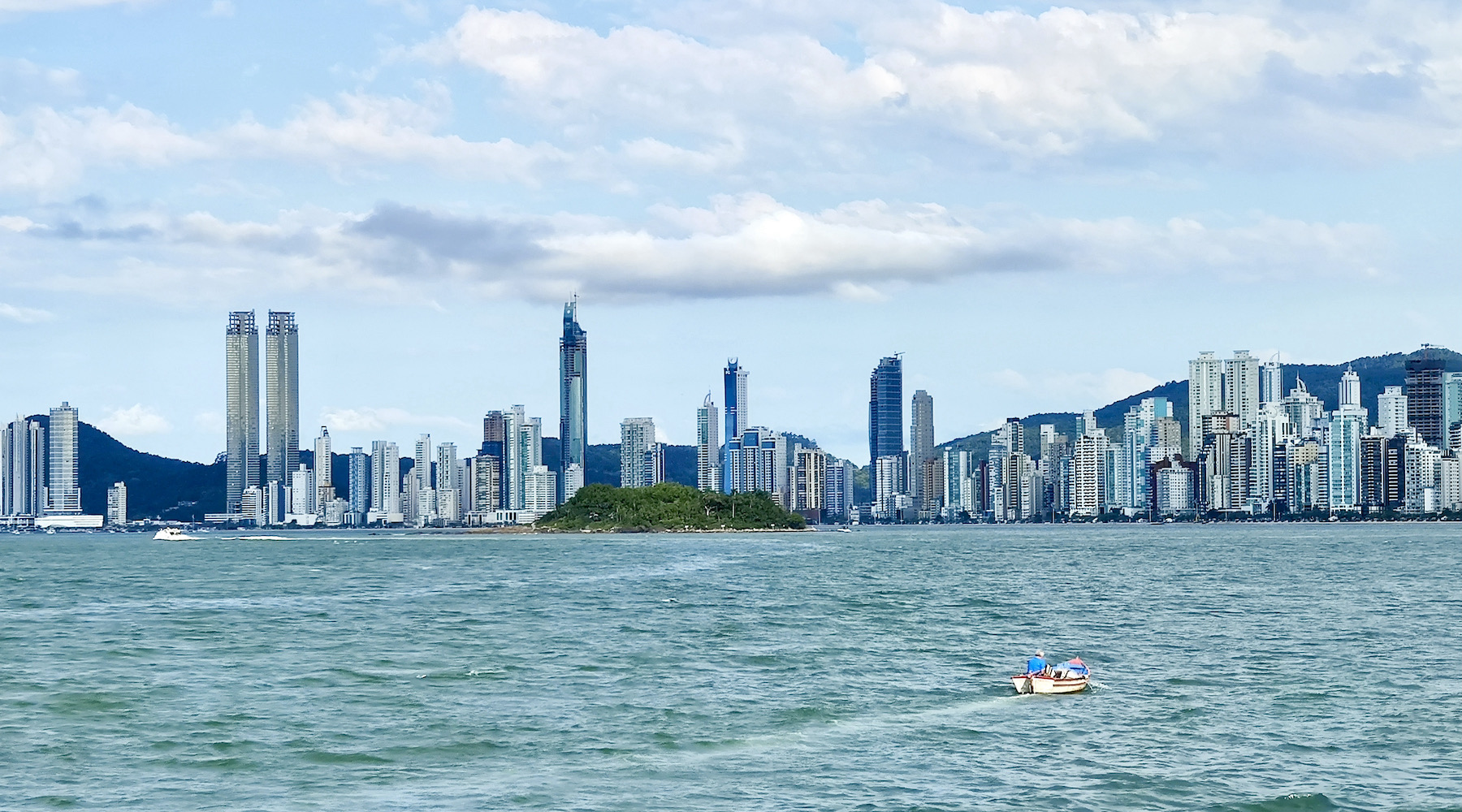
At the same time the city is valued for its natural beauty, Balneário has a luxurious atmosphere, with expensive cars and beautiful people, where seeing and being seen is part of everyday life.
At night, it's worth taking a stroll along the central promenade to watch the circulation of people. It will be almost impossible to not have the feeling that Balneário Camboriú is a place made to have fun.
Hottest month |
February (26 °C avg) |
|
Coldest month |
July (18 °C avg) |
|
Wettest month |
January (114.4 mm avg) |
|
Windiest month |
November (12 km/h avg) |
|
Annual precip. |
898.3 mm (per year) |
Bento Gonçalves, considered the Brazilian wine capital, is very charming and offers spectacular tourist routes through the Vale dos Vinhedos. It is a destination full of itineraries where the first Italian immigrants started to grow grapes.
Clinging to its tradition and its origins, Bento Gonçalves is a city famous for its tourist attractions linked to wine. Not without reason, the city is the largest producer of grapes in Rio Grande do Sul, the state responsible for producing 90% of the volume of wine in the country.
From the top of the Serra Gaúcha, Bento Gonçalves offers the hospitality of its people and the charms of its nature to those who decide to visit. In addition to the historical remnant, the city has a strong industrial advance, being a center of development for its state.
Taking a trip to this corner of Rio Grande do Sul is more than appreciating good wines — it's getting to know a little more about the region's culture, which is strongly influenced by the Italian people.
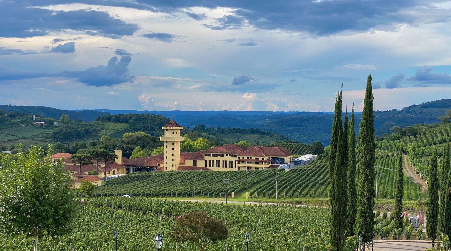
When it comes to tasting the best wines in Bento Gonçalves, you don't need to worry, as there are hundreds of wineries that offer tours. Usually, the tours last about one hour and a half, and include visits to production sites, wineries and wine tasting. The best way to go is to rent a car, as you will have more autonomy and freedom throughout the journey. A tip is to hire a driver, as you will not be able to drive after drinking alcohol.
In addition to enjoying good wines, you can also venture through the parks and visit the city's historic buildings. Among the tours in Bento Gonçalves, the trip aboard the Maria Fumaça is one of the most interesting. The tour takes place in a steam locomotive, dating from the 50s, and travels about 20 kilometers between the cities of Bento Gonçalves and Carlos Barbosa. The trip takes about one hour and a half passing through mountains, flower fields, lakes and much more.
Hottest month |
January (22 °C avg) |
|
Coldest month |
July (13 °C avg) |
|
Wettest month |
October (139.5 mm avg) |
|
Windiest month |
September (10 km/h avg) |
|
Annual precip. |
1252.3 mm (per year) |
Blumenau's main fame is linked to the fact of its European roots. And everything contributes to this destination of Santa Catarina being fantastic: its German architecture, the existence of numerous breweries and its natural beauty.
Not to mention the parties that celebrate the culture of European immigrants, with the main focus on the Oktoberfest, which by the way, is the largest outside of Germany, making the city the most touristic city in Southern Brazil during the month of October. This grand event attracts more than 500 thousand tourists from all over South America every year, showing the German influence in the city, with drinks, food and all the typical customs of the European country.
As it was colonized by Germans, Blumenau has beautiful half-timbered buildings, in addition to having its own beer route, very interesting museums and even stunning natural beauty.
Blumenau is famous for the Oktoberfest, which always takes place in October and moves tourism in the region. Although it is Blumenau's main attraction, it is also possible to enjoy beer tourism at other times of the year. For those who go to the city outside the Oktoberfest, a great option is to go through the Vale da Cerveja route, where several breweries in Blumenau and surroundings receive tourists for guided tours and tastings. Another good option to try some beers and special drafts is the always lively Parque Vila Germânica. This place hosts Blumenau's Oktoberfest event, but remains open year-round with a huge variety of drinks on sale. A delight for beer lovers, who can taste it in different varieties accompanied by typical German dishes.
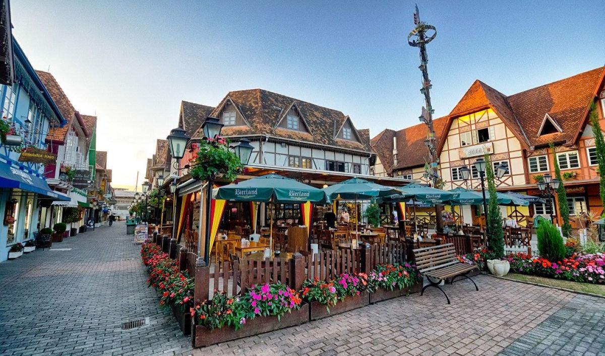
Between a pint of beer or two, be sure to visit the main tourist attractions in Blumenau, where you can learn more about the city's history. Start at Rua XV de Novembro and then head to some local museums, such as the Colonial Family Museum, the Museum of Habits and Customs, the Hering Museum, the Dr. Hermann Bruno Otto Blumenau Mausoleum and, of course, the Beer Museum. You can see everything in a day or two.
After visiting the main tourist attractions in Blumenau, how about going to Beto Carrero World? The largest theme park in Latin America. Beto Carrero is located just 60 kilometer from Blumenau and makes for a fun day out. Other good options to spend the day are the city of Pomerode and the Enxaimel Route, showing the beautiful architecture typical of the region.
Hottest month |
February (26 °C avg) |
|
Coldest month |
July (18 °C avg) |
|
Wettest month |
September (116.5 mm avg) |
|
Windiest month |
November (7 km/h avg) |
|
Annual precip. |
998.3 mm (per year) |
Canela is part of one of the most charming tourist destinations in Brazil, along with Gramado, in Serra Gaúcha. Located in the Region of hydrangeas in a mountainous area, the city is surrounded by pine trees, forests and parks, where the quality of life and hospitality are valued to the extreme.
Canela is famous for its natural parks and theme parks, the mountain climate and European traditions, music, dance, theater and the magic of Christmas.
Along with Gramado, the city is one of the main tourist destinations in Brazil, with a comprehensive hotel network, from small guesthouses to very comfortable hotels.
The center of Canela is not as big and touristy as Gramado, but its cathedral is much more imposing. It is 65 meters high and is located in the main square of Canela, surrounded by knitwear stores and chocolate houses. Within the city, it is the only truly indispensable attraction. And it gets even prettier at night, with a light show that takes place every day.
One of the few places in Brazil where you can see a 130 meter high waterfall without having to face trails or dirt roads is the main attraction of the Caracol State Park, a park of conservation that brings together paved ecological trails. Easily accessible about ten minutes by car from the center of Canela. In addition to Cascata do Caracol, the park has a beautiful viewpoint, craft shops, cable cars and the Sonho Vivo Station, a train ride that tells the history of the region.
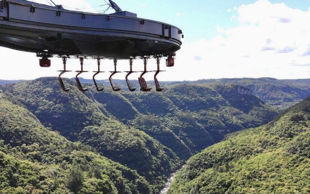
Another natural attraction, Parque da Ferradura was recently privatized and added the Skyglass viewpoint, a cable-stayed glass platform at 360 meters high. The structure advances over a canyon, whose horseshoe shape is drawn by the bed of the river Caí. The bravest can enjoy the view from the attraction Abusado, a monorail with ten suspended chairs that ride under the platform.
Hottest month |
January (22 °C avg) |
|
Coldest month |
July (13 °C avg) |
|
Wettest month |
October (170.5 mm avg) |
|
Windiest month |
November (10 km/h avg) |
|
Annual precip. |
1522.3 mm (per year) |
The search for those looking for something to do in Curitiba will be short; the capital of Paraná has loads of tourist options to enjoy and go sightseeing. In addition to being the largest city in Southern Brazil, Curitiba is also a reference in quality of life, city planning and urban mobility.
Famous for its conservation areas, parks, woods and capybaras (a giant cavy rodent native to South America), as well as its climate – which can make you experience all seasons of the year in just one day –, Curitiba values its roots and the influence of the European immigrants that made it a beautiful mix of cultures.
Founded in 1693, Curitiba began its history known as Vila de Nossa Senhora da Luz dos Pinhais, a pioneer village. The main economic activity in the region was mining. At the end of the 19th century, intense European immigration, mostly from Ukraine, Poland, Germany and Italy, began to change the history and culture of the city, and it began to urbanize more quickly.
When looking up Curitiba, you'll almost always find the glass greenhouse at the Jardim Botânico. And she really is the big star of the city! At first glance, Curitiba doesn't seem to offer many other sights. Do not fool yourself. The city pays attention to tourism and has developed great itineraries for those who want to venture out for a few days in the land of pine nuts.
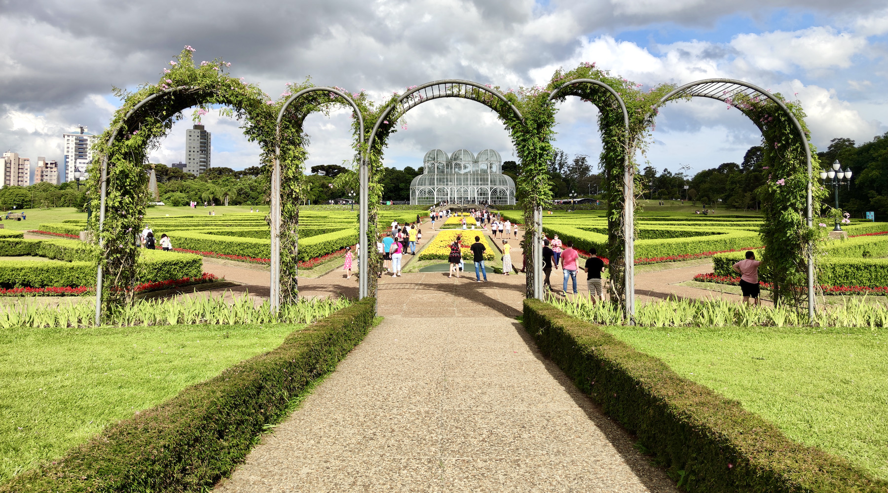
If you are in doubt about what to do in Curitiba, start with the Linha Turismo, dedicated to travellers. The route is made by a panoramic double-decker bus and takes you to almost all the most important touristic points of the city, among them the Barigui Park and the Tanguá Park, where the sunset is spectacular. Curitiba is also inviting to be explored on foot, by bike or even by its efficient public transport.
Curitiba quickly wins travellers because it is so easy to explore. Curitiba's parks are wonderful and easily accessible; there are several good museums to be visited; the restaurants offer excellent options of typical food, as well as contemporary menus; and the city also offers a good historical itinerary that can be covered on a free walking tour that passes through various tourist attractions. Add to that the intense nightlife, lively bars and even a delicious train ride to the charming city of Morretes, passing by Serra do Mar. Curitiba is full of good attractions.
Hottest month |
February (22 °C avg) |
|
Coldest month |
July (15 °C avg) |
|
Wettest month |
January (198.6 mm avg) |
|
Windiest month |
November (6 km/h avg) |
|
Annual precip. |
1283.6 mm (per year) |
Known as Ilha da Magia (the magic island) and affectionately called Floripa, it has about 500 thousand inhabitants and around 54 kilometer from north to south. Each little piece of Florianópolis has a distinct characteristic, its main attraction always being nature in its most diverse ways, especially by the sea and its mountains.
Florianópolis has wonderful beaches, often with crystal clear waters, and has numerous trails, many of which ending in deserted beaches. Have you ever heard of the famous Jurerê? It is not the main beach in terms of beauty, but it is among the most popular beaches in Brazil, with buzzing parties especially during summer!
And it is from the sea, present at all times, where the state's most popular production, oysters, comes from. Oysters, shrimp, octopus and fish such as mullet are the hallmarks of local restaurants, several of which with a beautiful view of the sea and delicious food!
Floripa has at least 42 beaches, six main museums, ten mapped trails, at least five viewpoints with incredible views and lots and lots to do!
Located on the east side of the Island, the Lagoa da Conceição neighborhood is one of the most famous tourist spots in Florianópolis, as it gathers tourists from all over the world in search of parties, good food and many adventures.
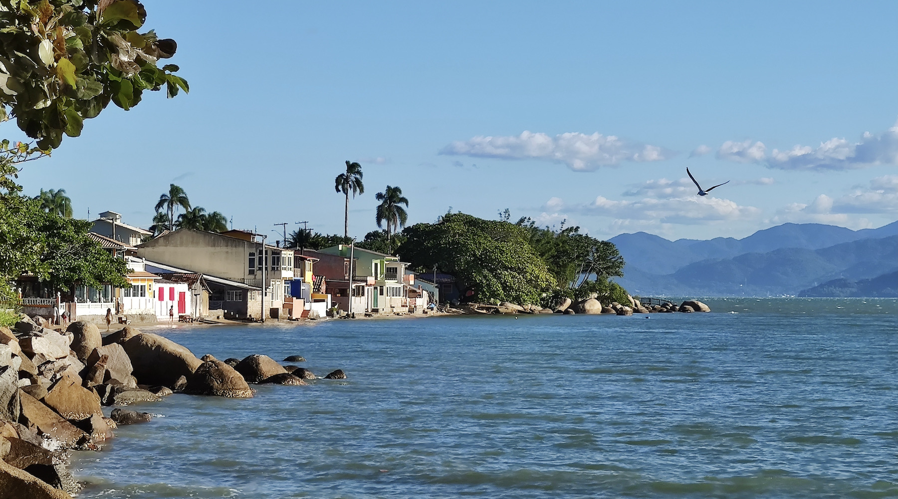
The beaches in the north region of Florianópolis have the best structure to receive visitors with accommodations, restaurants, bars and clubs. The crystal clear sea of calm and warm waters is also where luxury yachts and speedboats are moored. With mansions and sophisticated restaurants, Praia de Jurerê Internacional stands out for its glamour and is one of the most popular beaches in Brazil.
The southern beaches are highly known for preserving nature at the expense of urbanism. Many of the beaches located in the region are old fishing villages and bring with them a strong culture and history. Many of these beaches are easily accessible by car. Other times, you'll need to take a boat or go hiking.
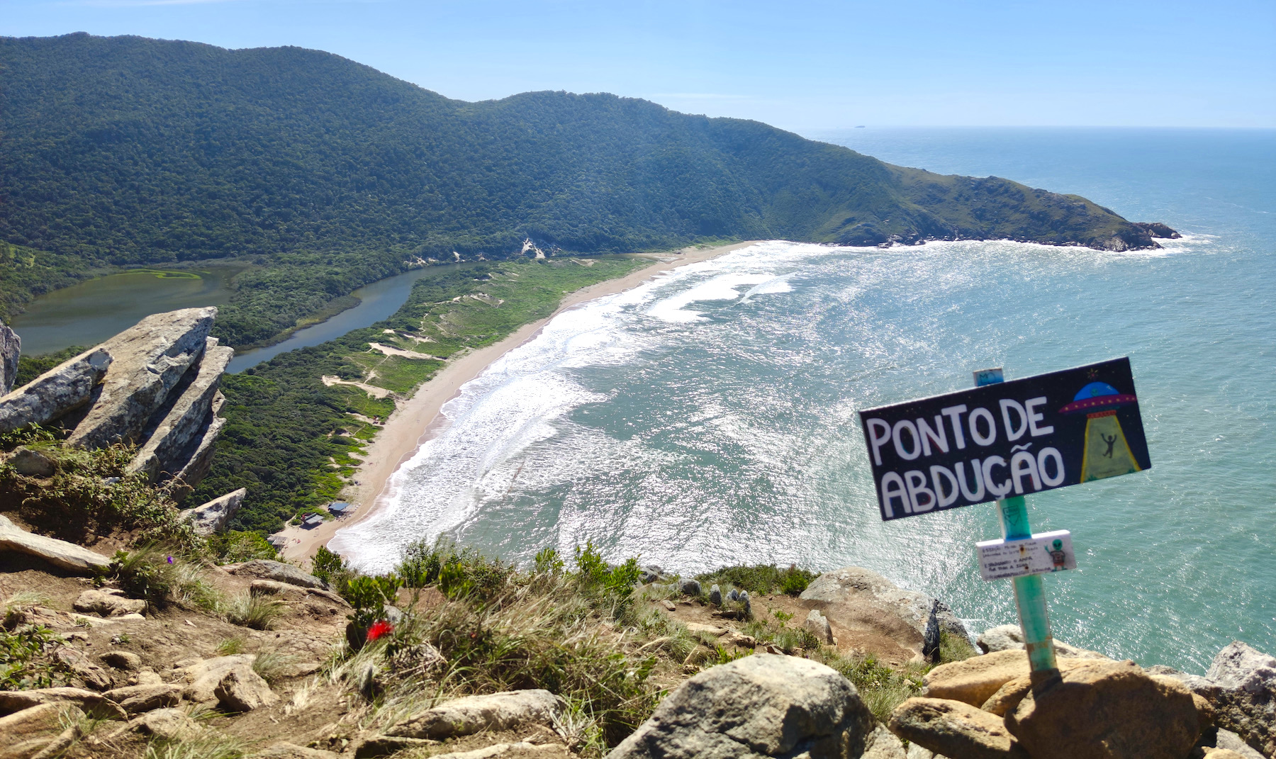
The famous Lagoinha do Leste trail is very popular with adventurers. The trail starts at two locations: at Pântano do Sul or at Praia do Matadeiro. The first option requires more effort in less time (about 60 min) and the second option requires less effort in more time (about three hours), but both routes provide the company of spectacular landscapes. Finally, a beautiful sea will be waiting for a refreshing dip!
Hottest month |
February (26 °C avg) |
|
Coldest month |
July (17 °C avg) |
|
Wettest month |
September (135.4 mm avg) |
|
Windiest month |
November (14 km/h avg) |
|
Annual precip. |
1198.3 mm (per year) |
It is practically impossible to find someone in Brazil who has never been seduced by the idea of sightseeing in Gramado. The city has one of the best tourist structures, is one of the main places to visit in Brazil and has attractions capable of catering to the most varied types of travellers.
This destination is perfect for a romantic getaway, but is also highly recommended for a family trip. Gramado is located approximately two hours from the capital of Rio Grande do Sul, Porto Alegre, and has entertainment for the whole family.
There are so many attractions in Gramado that after a trip to this place you can only think that it was a city designed to please. Whether on an outdoor tour or visiting its museums, the region's differential is that it has entertainment for people of all ages, especially for families who are going with their children. There are many attractions for children who, in addition to having contact with nature, can enjoy the charm of Christmas throughout the year.
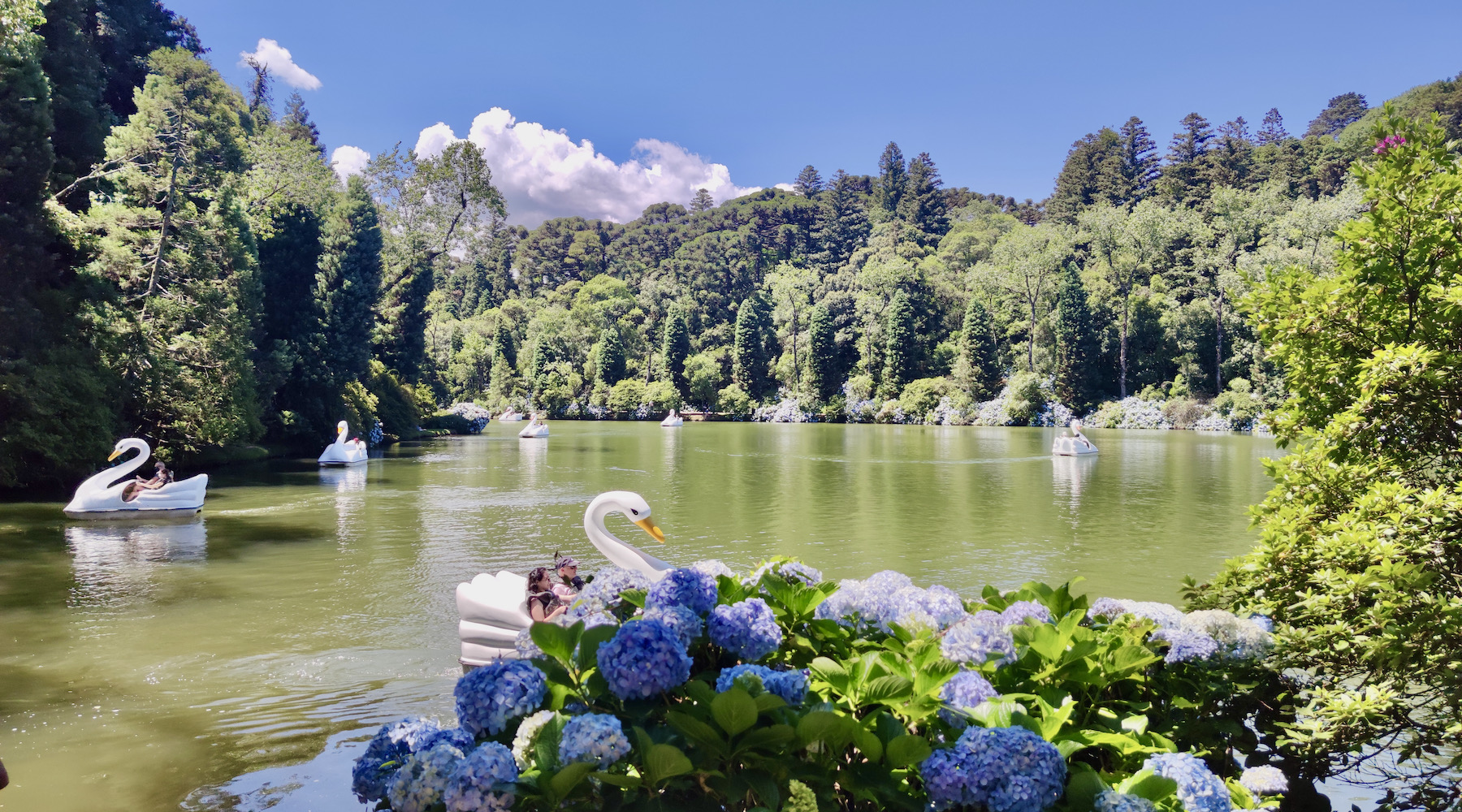
The day to day for those who visit Gramado takes place on the street. During the day, tourists are entertained by the attractions of Gramado and, in the late afternoon, return to their hotel for some rest and dinner at a good restaurant. To start your tour of the city, we recommend a visit to the center of Gramado, where you can find Av. Borges de Medeiros — where the São Pedro Parish is located — and Rua Coberta — where you can find nice restaurants and can enjoy a good hot chocolate. The Black Lake (Lago Negro) is ideal for a walk outdoors on a beautiful day and making great photos, especially during the hydrangea season.
For a fun tour, be sure to go to Mini Mundo, an open-air park where replicas are 24 times smaller than the original buildings and which have several characteristics of a normal city. For different kind of tours, visit Le Jardin, a lavender garden or go to Gramado Zoo, a zoo that only has animals from the Brazilian fauna. Snowland, an indoor snow park, quickly won the tourists' tastes and became one of the biggest attractions in the city. In this park, you can learn to ski, ice skate or just enjoy a day "in the snow", as it is an climatized area with freezing temperatures and artificial snow.
Hottest month |
January (21 °C avg) |
|
Coldest month |
July (13 °C avg) |
|
Wettest month |
October (183.5 mm avg) |
|
Windiest month |
November (10 km/h avg) |
|
Annual precip. |
1622.1 mm (per year) |
One of nature's most impressive spectacles, the Iguaçu Falls, are the main attraction of Foz do Iguaçu, a city located on the triple border with Paraguay and Argentina, the second most visited destination in Brazil.
Just step into the Parque das Cataratas to hear a dozen different languages. Foreigners, along with a growing number of Brazilian tourists, go there with the main objective of seeing the 275 waterfalls that make up one of the Seven New Wonders of Nature, forming a spectacular and unique scene in the world. With each step along the trails new falls emerge and its incredible average flow of 1.5 million liters per second.
The main activity in the city, of course, is getting to know the Iguaçu National Park. The Brazilian park is well organized, the trails are easy to walk and allow you to admire beautiful landscapes. On trails that sometimes go right through the middle of the falls, you will be able to see the falls up close! And, if you want, inside the Brazilian park, you can also take the Macuco Safari; an attraction that allows you to enter the waters of the Iguaçu river by boat and even take a bath under the falls!
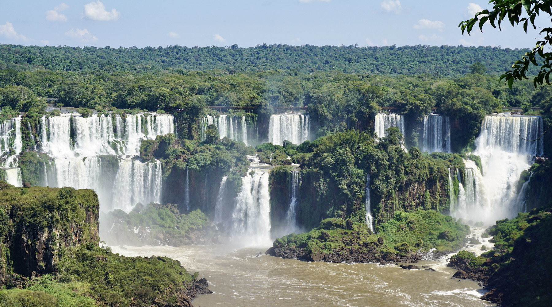
Visiting Foz do Iguaçu also offers the possibility of discovering small parts of two other countries that border Brazil: Paraguay and Argentina. Ciudad del Este, in Paraguay, is considered a shopper's paradise, and Puerto Iguazú, on the Argentinean side, is the perfect place to have a good dinner, enjoying delicious Argentinean meat. Another great attraction on the Argentinean side is, of course, the Iguazú National Park, which holds about 80% of the waterfalls that form in the waters of the Iguaçu river, as well as the possibility of taking walks with breathtaking viewpoints.
Itaipu Binacional, administered by Brazil and Paraguay, is also worth a stop on your itinerary; the largest producer of energy in terms of water volume in the world. It is also worth visiting the Marco das Três Fronteiras, which marks the triple border between the three countries in the region, the Parque das Aves, which has rescued birds of different species and the Buddhist temple in the city. There is no shortage of things to do in Foz do Iguaçu.
Hottest month |
January (28 °C avg) |
|
Coldest month |
July (18 °C avg) |
|
Wettest month |
May (128.5 mm avg) |
|
Windiest month |
September (10 km/h avg) |
|
Annual precip. |
1019.5 mm (per year) |
If you were hoping to relax on some of the beautiful beaches of Ilha do Mel, the time has come! This destination in the state of Paraná, located in the Bay of Paranaguá and 130 kilometer away from Curitiba, has several stretches of almost deserted sand and is surrounded by intense preserved nature. An ideal environment for those looking for a little rest. The island has just over 1,000 inhabitants and, in normal periods, can receive a maximum of 5,000 visitors per day. All of them arrive by boat, as the island has no connection with the mainland.
In Ilha do Mel there are no cars or other engine noise. What reigns there is the calm and sound of the waves, along with beautiful walking trails. Among the main attractions of Ilha do Mel are the Gruta das Encantadas, the Farol das Conchas and the Fortaleza de Nossa Senhora dos Prazeres, in addition to the various beaches of course! When boarding towards Ilha do Mel, remember to bring a flashlight as there is no street lighting on the island.
With its exuberant fauna and flora, strolling around Ilha do Mel means observing different species of birds and dolphins.
In addition to diving, surfing, climbing and sailing, how about feeling strong wind on your face in a radical experience? In Ilha do Mel it is possible to perform a Tandem, popularly known as Double Jump, where the tourist and instructor ascend to 3,000 meters high, take a panoramic flight and then, connected to each other, jump into the adventure. Will you face it?
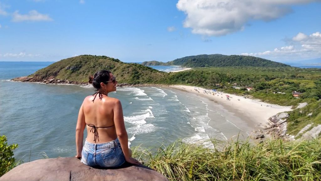
As motor vehicles and animal-drawn vehicles are not allowed on the island, transportation is done through hiking, which gives the impression that the place has stopped in time.
The Jazz Festival brings even more beauty to Ilha do Mel. The weekends in August are filled with good music, gastronomy, fun and beaches, with a unique and free program.
Hottest month |
January (25 °C avg) |
|
Coldest month |
July (18 °C avg) |
|
Wettest month |
January (167.5 mm avg) |
|
Windiest month |
October (10 km/h avg) |
|
Annual precip. |
1136.1 mm (per year) |
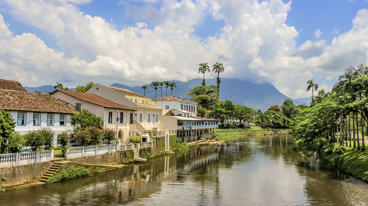
Morretes is a charming city between the mountains and the coast of Paraná, full of preserved mansions and restaurants, which have barreado (traditional stew) as a typical dish. It is also ideal for those who want to rest and meet the green of the mountains, the fresh air at waterfalls, forests, still unexplored corners and the natural beauty of the imposing Marumbi and the Nhundiaquara river.
The population is estimated at 16,366 people. The city, founded by the Jesuits in 1733, on the shores of the Bay of Paranaguá, has well-preserved historic buildings that today house museums and cultural spaces. In the surroundings, nature offers a range of activities for those who enjoy adventure sports.
Morretes has cozy family inns, which put visitors in direct contact with the natural beauties of the Serra do Mar State Park. Ideal places for those who want to escape from the big urban centers.
Hiking through the Serra do Mar leading to the Macacos and Fortuna falls; trekking through Marumbi State Park; and tubing through the cold waters of the Nhundiaquara river are some of the options for those who enjoy adventure in nature.
The train ride through Serra do Mar is an unforgettable experience and one of the most popular and sought after tours in Southern Brazil. The construction of the railroad is a masterpiece of architecture, completed in more than five years. On the way, you will have the opportunity to pass through several tunnels, viaducts and bridges, see nature up close, smell the flowers, see beautiful landscapes with rivers and waterfalls, and preserved stretches of Atlantic forest. The tour lasts more than three hours, and is monitored by specialized guides, who narrate the history and main attractions throughout the trip. An ideal trip for couples, families and senior groups.
Hottest month |
January (26 °C avg) |
|
Coldest month |
July (20 °C avg) |
|
Wettest month |
January (192.6 mm avg) |
|
Windiest month |
November (6 km/h avg) |
|
Annual precip. |
1203.6 mm (per year) |
Located very close to Gramado, the city is surrounded by lots of green, parks, squares and beautiful gardens. Its old houses and villages, which portray the lifestyle of German immigrants, take visitors on a journey back in time. As if that wasn't enough, Nova Petrópolis has great cuisine, delicious craft breweries and many shopping options.
The city is also part of the Romantic Route, which runs approximately 184 kilometers from São Leopoldo to São Francisco de Paula. Nova Petrópolis is very likeable. It is small, flowery and with excellent gastronomic options of German cuisine.
Praça das flores is the city's central square that has places to sit and relax, small craft shops and the famous labyrinth made with bushes that entertains and challenges visitors. The Monument of cooperativeness is also located at the square (since Nova Petrópolis was the city where the first Credit Cooperative of Brazil was founded).
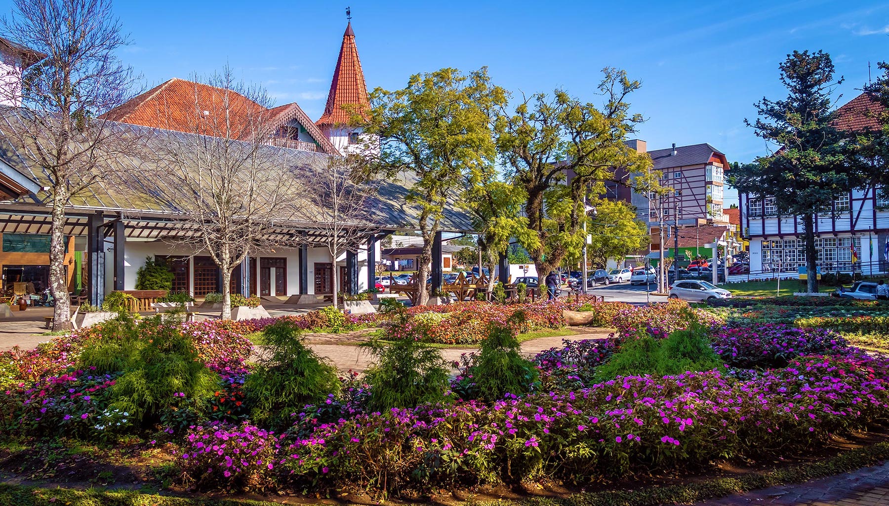
Aldeia do Imigrante Park is a ten-hectare park with gardens, handicrafts, colonial products, a restaurant, and more. It is also the stage for the traditional festivities of the county. It's worth paying the ticket, especially to visit the half-timbered buildings that reproduce a small village of German immigrants, including a school, church, cemetery and even a museum (the Municipal Historical Museum).
At eight kilometer from the city center, Ninho das Águias is a meeting point for paragliders in the Serra Gaúcha mountains. And also for having a tea in the late afternoon enjoying the sunset with an incredible view of the mountains and the Caí Valley, at the 590 meters high lookout.
Hottest month |
January (23 °C avg) |
|
Coldest month |
July (14 °C avg) |
|
Wettest month |
October (183.5 mm avg) |
|
Windiest month |
November (10 km/h avg) |
|
Annual precip. |
1622.3 mm (per year) |
The capital of Sergipe does not have the most attractive beaches in the Northeast, but on the other hand, it's ahead when it comes to infrastructure, hospitality, variety of tours – boat trips along the rivers lead to beautiful scenery such as Croa do Goré and Ilha dos Namorados – and prices: even in high season the programs are affordable.
With clean, tree-lined streets, the city's main postcard image is the Atalaia beachfront, full of attractions. Along six kilometers, there are kiosks, a boulevard, a bike path, multi-sport courts and an oceanarium that delights children and adults.
A city to relax, enjoy nature, taste delicious cuisine, walk through the history of Brazil and immerse yourself in the rich culture of the Northeast. Aracaju is ideal for tourists who like diversity. The city has several beautiful beaches suitable for swimming. Atalaia beach, the most famous of them, has clear water and a long stretch of sand. Even when it's busy, there is always a quiet spot for the whole family.
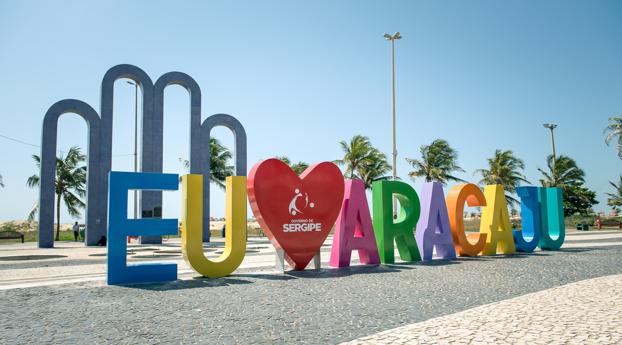
If the intention is not to spend a long time on the beaches, no problem. Aracaju has two beautiful and navigable rivers: the Sergipe river, which separates the capital from Barra dos Coqueiros; and the Vaza Barris river, which allows for beautiful tours. Do you like history? A walk through the historic center of Aracaju will enchant you. The beautiful cathedral impresses with its architecture. Fausto Cardoso and Olímpio Campos squares house beautiful palaces to behold, including the Palace Olímpio Campos Museum. The Gente Sergipana Museum is an unmissable tour: the space is completely interactive, unlike anything you see in Brazil, and shows the rich culture of Sergipe.
Those who like to enjoy a nice view and relax have three options of waterfronts: Atalaia, a space full of attractions, such as the Oceanário, skate parks, craft shops, restaurants and a beautiful view of the sea; the Orla do Pôr do Sol, which doesn't have its name by chance-the sunset there is simply incredible; and the Orla do Bairro Industrial, overlooking the Sergipe river, the Construtor João Alves Bridge and Barra dos Coqueiros. And how about enjoying these beautiful sceneries while trying the local cuisine? On all waterfronts there are nice bar and restaurant options!
Hottest month |
February (27 °C avg) |
|
Coldest month |
August (23 °C avg) |
|
Wettest month |
May (46.5 mm avg) |
|
Windiest month |
November (18 km/h avg) |
|
Annual precip. |
384.7 mm (per year) |
Arraial d'Ajuda and Porto Seguro, while being close, are very different places and cause for disagreement among friends. While some love Porto Seguro, others hate it and prefer Arraial – and vice versa. Regardless of your preferences, don't miss a day in Arraial d'Ajuda when visiting Porto Seguro; walk through the historic center, discover beautiful beaches and visit the small shops in Mucugê.
The village is super cozy! No wonder that many people fall in love with the place and leave big cities to live there. Arraial is less urbanized than its neighbor and still conveys that “small town” atmosphere, with cobblestone streets and children playing freely.
The beaches of Arraial are beautiful and crowded in summer. In some spots, the beach bars are famous and some of them offer live music and sunbeds facing the sea, but be aware of places where you will sit on the beach! Despite being illegal, many establishments demand minimal consumption.
One of the main attractions of Arraial d’Ajuda is the Eco Park. Considered one of the largest in Latin America, the water park offers slides, canopy, climbing, kayaking, among other attractions. There is a complete infrastructure with restaurants, restrooms and other services to enjoy the whole day.
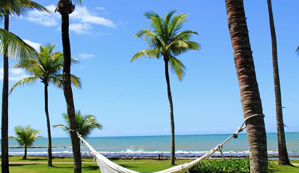
Mucugê Beach is the closest to the center of the village and, therefore, concentrates the largest number of tourists. As it offers a large number of food and beverage stalls, it is one of the most popular beaches for families. During low tide, it is recommended for those who enjoy sports. The sea is ideal for practicing stand up paddle. In high season it is possible to enjoy seaside parties. For those who go to Arraial d'Ajuda on New Year's Eve or Carnival, Mucugê is the place to be!
Arraial d'Ajuda also has an interesting history. In the center of the village, it is possible to visit the first religious temple in Brazil. The Church of Nossa Senhora d’Ajuda was built in the 16th century and is still open to visitors today. In addition to seeing the construction, you will have a privileged view of the sea and Porto Seguro.
Hottest month |
February (26 °C avg) |
|
Coldest month |
August (22 °C avg) |
|
Wettest month |
December (94.5 mm avg) |
|
Windiest month |
October (16 km/h avg) |
|
Annual precip. |
580.5 mm (per year) |
Canoa Quebrada is one of the most spectacular beaches in Ceará and today a tourist destination that interests travellers from all over Brazil. Belonging to the municipality of Aracati, the former fishermen's island discovered between the 1960s and 1970s by backpackers with preferences for rustic places, is today a destination with good infrastructure and attractions that satisfies all tastes.
If in contact with the sun, the cliffs acquire radiant reddish contours and the sea transpires a clear green color. It's impossible not to want to order a snack and sit in a small bar facing the beach or walk along the strip of sand and dunes, and enjoy every moment of a place with good bars, restaurants, nightclubs and lodgings.
The options in Canoa are not plenty; the city is small, but ideal for those who want to get away from the rush of the big city and get some rest. Just make the most of the beach and maybe go on a buggy ride. There is sun almost every day of the year, enjoy!
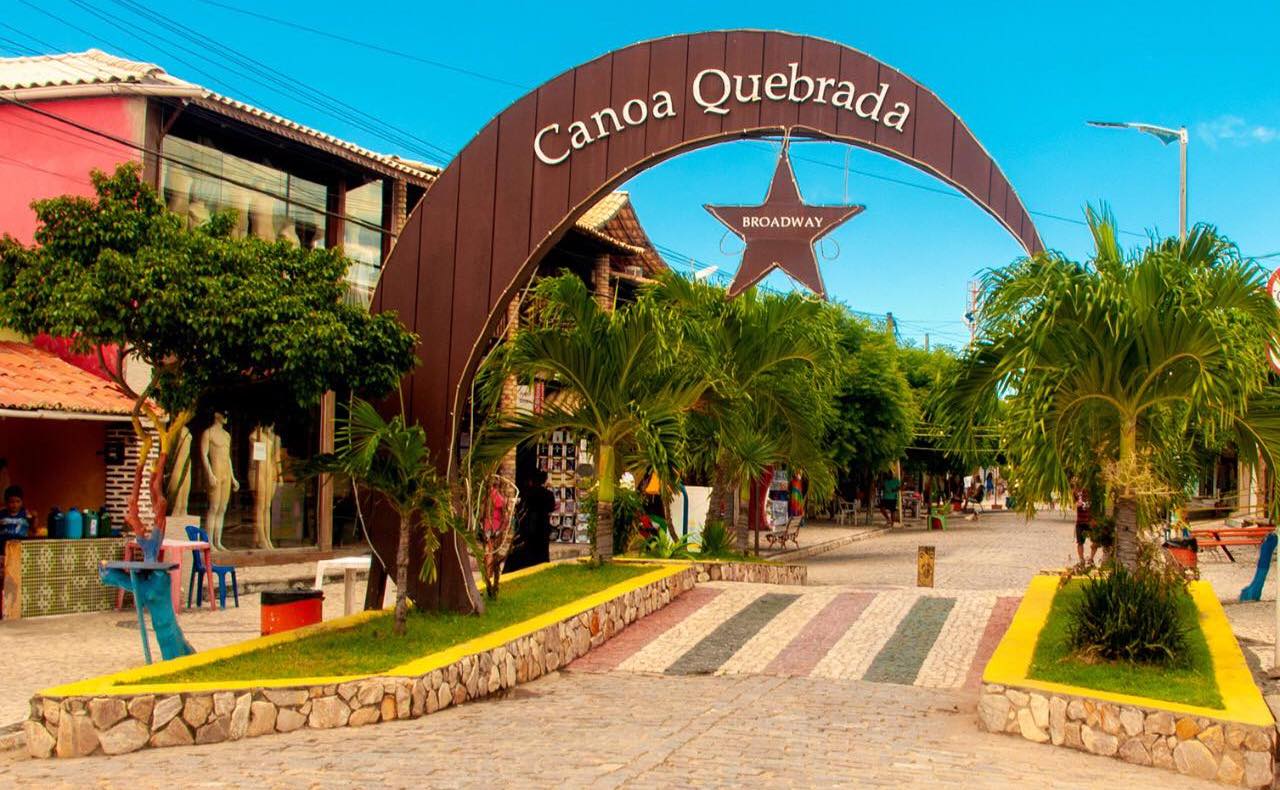
In the late afternoon, the tourists' sensation is to climb the Duna do Pôr-do-Sol (sunset dune), close to the village, to enjoy the sight of the sun saying goodbye.
During the day, Rua Dragão do Mar, better known as Broadway, has many of its small shops closed. Wait for the late afternoon to walk by the shops and enjoy the nightlife. It is at the end of the day when it gets crowded and all the shops open their doors, as well as restaurants and bars.
Hottest month |
February (28 °C avg) |
|
Coldest month |
July (26 °C avg) |
|
Wettest month |
April (92.0 mm avg) |
|
Windiest month |
September (25 km/h avg) |
|
Annual precip. |
342.3 mm (per year) |
Chapada Diamantina, in the state of Bahia, is the perfect destination for those who enjoy ecotourism or adventure tourism. The region is rich in natural beauty and has enough attractions to keep travellers on a busy schedule for weeks.
After all, who doesn't like lush waterfalls, crystal-clear rivers, huge rock formations and ecological trails in the midst of a scenery of paradisiacal beauty?
In addition to the landscape, travellers can also discover well-preserved historic villages, a rich culture, welcoming people and excellent cuisine.
The main tourist attractions in Chapada Diamantina are all linked to ecotourism. And the goal of most visitors to the region is to enjoy as much as possible of the natural scenery, such as the magnificent Morro do Pai Inácio. Just waterfalls, there are more than 360 of them cataloged. Practically one waterfall per day of the year! Of course, going to all of them will be an impossible task, so start with the most famous. Cachoeira da Fumaça, Cachoeira do Buracão and Cachoeira do Mosquito are good options to start your tour, but it is good to have time to go to Cachoeira do Sossego, Cachoeira da Fumacinha and so many other beautiful waterfalls as well. And, to reach each one of them, there will always be a beautiful trail to be covered. Some take a few minutes, others take several days, such as the incredible Vale do Pati, considered one of the most beautiful trekkings in Brazil.
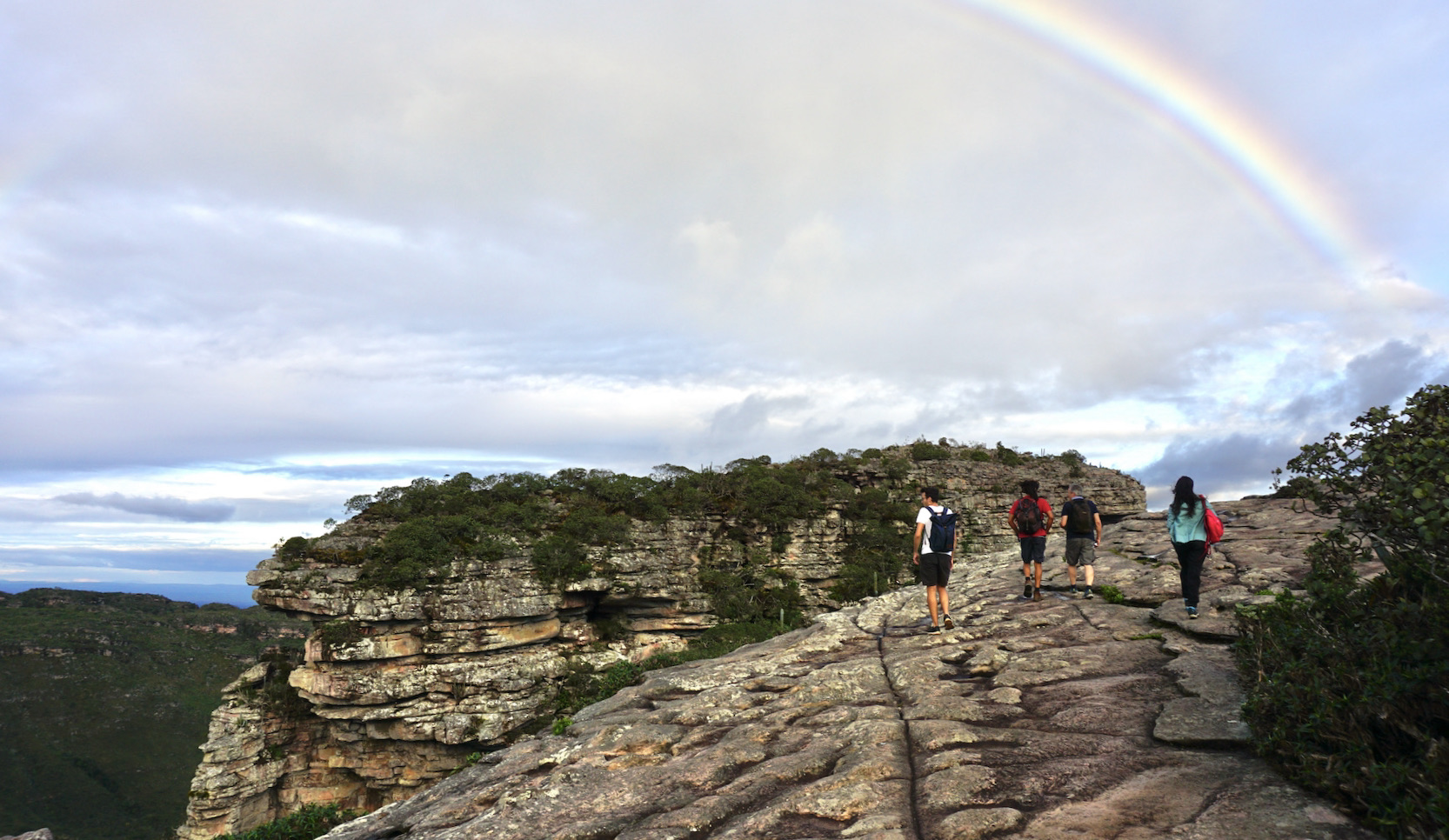
In addition to the waterfalls, other attractions that attract the attention of tourists are the wells inside the caves, where the effect of beams of light provide an incredible spectacle! It is worth going to Poço Azul, Poço Encantado and Gruta da Pratinha. All are experiences worthy of many photos. For the more adventurous, it's worth going up and down the caves and rocky walls doing rappelling, climbing or bouldering, or just exploring them on beautiful walks. It all depends on your wishes and skill level.
Hottest month |
February (24 °C avg) |
|
Coldest month |
July (20 °C avg) |
|
Wettest month |
December (75.4 mm avg) |
|
Windiest month |
October (13 km/h avg) |
|
Annual precip. |
479.3 mm (per year) |
Cumbuco beach, about 30 kilometer by car from Fortaleza, is one of the most popular beaches in the metropolitan region. It is in a quiet village, with good structure to spend the day, there are some restaurants, shops and a calm sea. Many people who are staying in Fortaleza choose to spend the day on this beach – the trip can be done by renting a car or through travel agencies.
This destination is a frequent choice for travellers looking for a quiet place to stay, away from a lot of movement and noise. In Cumbuco, there are excellent hotels such as Carmel Cumbuco and Vila Galé Cumbuco, an all-inclusive resort. Incredible options for those who want to get away from the rush of a big capital.
Definitely one of the coolest tours to do is a buggy ride through the dunes. There are several agencies that make the journey. When they ask “com ou sem emoção?” (with or without emotion?), don't even blink: choose "com emoção". Fun and adrenaline are guaranteed. Depending on the route, there are some stops at Lagoa de Parnamirim, for food and photos.
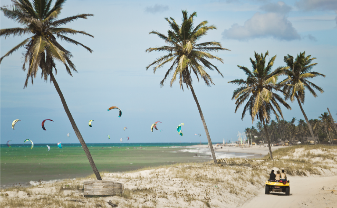
It's no coincidence that Praia do Cumbuco is so desired: it appeals to different audiences. However, the main crowd pleaser is the fact that it's an ideal place for practicing sports, especially kite surfing. Cumbuco is internationally recognized as one of the best spots in the world for kitesurfing. The water is always at a pleasant temperature, the constant winds, the calm sea and the absence of animals and rocks, make the place a paradise for those who practice the sport.
Hottest month |
December (28 °C avg) |
|
Coldest month |
June (25 °C avg) |
|
Wettest month |
April (127.5 mm avg) |
|
Windiest month |
September (27 km/h avg) |
|
Annual precip. |
442.3 mm (per year) |
Get ready for a dream trip: Fernando de Noronha has the most beautiful set of beaches in Brazil. That's not nothing, especially when it comes to a country with more than 7,000 kilometer of coastline. Here, everything is excuisite. Like the unforgettable beauty of Baía do Sancho, Baia dos Porcos and Praia do Leão.
Also unforgettable is diving with sea turtles, sailing side by side with dolphins, watching the sunset from the beaches of Cachorro, Meio or the Boldró lookout. Get ready, as well, for an uneconomical trip. Most of the hotels on the island have high prices, as well as the most basic dishes in the restaurants, and the environmental and Marine National Park fees also increase the bills.
The main activities in Noronha revolve around the sea. When the sun is out, all tourists want to go to the beach to enjoy a refreshing swim. Anyone who wants to be surprised by crystal clear water and a heavenly view cannot miss the Baía do Sancho or the Baía dos Porcos. For those who want to stay close to the center, going to Praia da Conceição is also a good idea – this beach is a nice meeting point on the island, especially in the late afternoon.
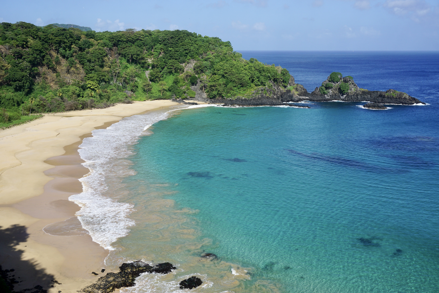
Taking advantage of the pure crystal clear waters, reserve a day to go scuba diving or snorkeling, and you will be dazzled by the marine diversity of Noronha. Small fish, turtles and small sharks are some of the species that can be observed at Praia do Sueste or Praia do Porto.
If you like adventure, it is worth booking one of the trails that the Marine National Park offers. Some trails must be scheduled in advance and require the presence of a guide. The short Atalaia trail does not need a guide and is very easy to do; on the other hand, the long Atalaia trail, which lasts about four hours, is more demanding, but equally beautiful!
Hottest month |
February (27 °C avg) |
|
Coldest month |
August (25 °C avg) |
|
Wettest month |
April (358.5 mm avg) |
|
Windiest month |
September (25 km/h avg) |
|
Annual precip. |
1301.9 mm (per year) |
Praia de Flecheiras is a fishing village located in Ceará between Fortaleza and Jericoacara. Definitely an ideal destination for those looking for tranquility and beautiful nature.
The village has few paved roads and walking along its sandy streets gives Flecheiras a rustic charm. However, you can enjoy an infrastructure with good restaurants, some shops and good inns and summer houses.
Certainly a destination that is still emerging for tourism. Therefore, it is still possible to enjoy a more empty beach, walks without crowds and cheap accommodations.
The options for what to do in Flecheiras include walks on the beach, playing football in the sand, enjoy the sea, the natural pools as well as beach bars that serve excellent options of traditional dishes; activities that perfectly match the relaxed atmosphere of Flecheiras. Still, those with a more adventurous spirit can hire a buggy or quad to ride through the dunes.
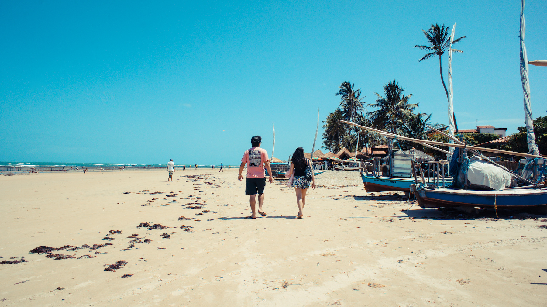
The main attraction of Flecheiras are the natural pools spread all over the beach. They have extremely clear water and only appear during the low tide.
Some travel agencies offer boat trips along Flecheiras beach, including stops at more distant natural pools for bathing. The tour can be contracted at hotels and some stalls located near the beach.
Hottest month |
November (28 °C avg) |
|
Coldest month |
July (25 °C avg) |
|
Wettest month |
April (143.5 mm avg) |
|
Windiest month |
September (27 km/h avg) |
|
Annual precip. |
542.3 mm (per year) |
There is no lack of attractions in the capital of Ceará. Starting with the beautiful central shore formed by the beaches of Iracema, Meireles and Mucuripe, joined by Avenida Beira Mar, a meeting point for tourists and residents at dusk. 11 kilometers from the center, Praia do Futuro is a perfect beach for a dip with comfort – the various beach bars and clubs offer not only their typical fried crab, but also fresh water showers, lounge chairs, umbrellas and lots of entertainment.
On the outskirts of the city are waiting the dunes and colorful cliffs that are the face of Ceará. The most beautiful places where they can be enjoyed are on the beaches of Morro Branco and Fontes, on the east coast. There is also Porto das Dunas where the Beach Park is located, one of the best water parks in Brazil. The West Coast highlights the lagoons of Cumbuco and the good winds, which attract fans of windsurfing and kitesurfing.
Fortaleza is a large city with day and night attractions! In five or six days, you can get to know the main points of interest in the region and even take trips to beaches further away on the coast of Ceará. Whether you want to enjoy the sea, the local culture or its beautiful restaurants, Fortaleza impresses with its huge variety of activities.
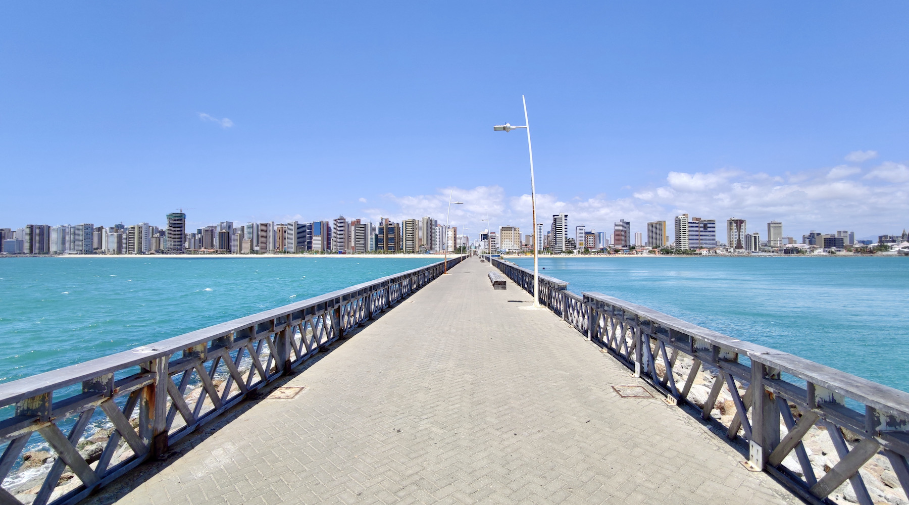
On Avenida Beira-Mar (the beachfront), which lies along the city's main beaches, it's nice to take the time to walk along the boulevard, ride a bike, take a picture with the statue of Iracema, walk along Espigão de Iracema, which has a beautiful view at the sunset, and at night go shopping at the Beira Mar handicraft fair, located in Meireles. If you want, it is also possible to take a trip on the boats that circulate along the coast, which depart from Mucuripe beach.
Fortaleza's nightlife has as many attractions as during daytime. Watching a comedy show is a classic program in the city, which is the birthplace of many comedians in the country. Another very cool option, with varied rhythms and the liveliest Monday in the country, is the Pirata Bar. To dance forró, go for Arre Égua, which has a really nice decoration; and if you want to watch a musical that tells about the culture of Ceará, watch the Ceará Show! On Thursdays, the traditional crab day in Fortaleza, go to Chico do Caranguejo on Praia do Futuro, where, in addition to eating the most famous dish in the city, you can also enjoy a comedy show.
Hottest month |
December (28 °C avg) |
|
Coldest month |
July (26 °C avg) |
|
Wettest month |
April (127.0 mm avg) |
|
Windiest month |
September (27 km/h avg) |
|
Annual precip. |
442.3 mm (per year) |
Until the mid-1990s, Itacaré lived somewhat isolated due to a dirt road that was difficult to face. Today, after the arrival of asphalt roads, this former fishing village lives off ecotourism and the interest generated by a sequence of beautiful beaches that start very close to its historic center.
Some mansions built during the period when cacao brought wealth to the region, between the 19th and 20th centuries, are still standing and are restored. A single street, Pedro Longo, concentrates all commerce. At night, she shares the excitement with Praia da Concha, where most of the inns are located, as well as bars. Beautiful hotels and resorts, such as Txai, located on the beautiful and almost private Praia de Itacarezinho beach, offer not only comfort and luxury, but also tours that explore the region's mangroves, rivers and waterfalls.
Itacaré's famous trails not only lead to lush beaches, such as Prainha, Jeribucaçu, Engenhoca, Havaizinho and Itacarezinho, you can also enjoy delicious waterfall baths. The rough rock formations facilitate the formation of waterfalls, which add even more charm and emotion to the region. And when we talk about emotion, we mean that it will be easy to feel a little adrenaline in sports such as rafting, canopy, kayaking and, of course, surfing. The degree of difficulty of the tour will depend on each individual. The important thing is to keep in mind that there are activities for everyone.
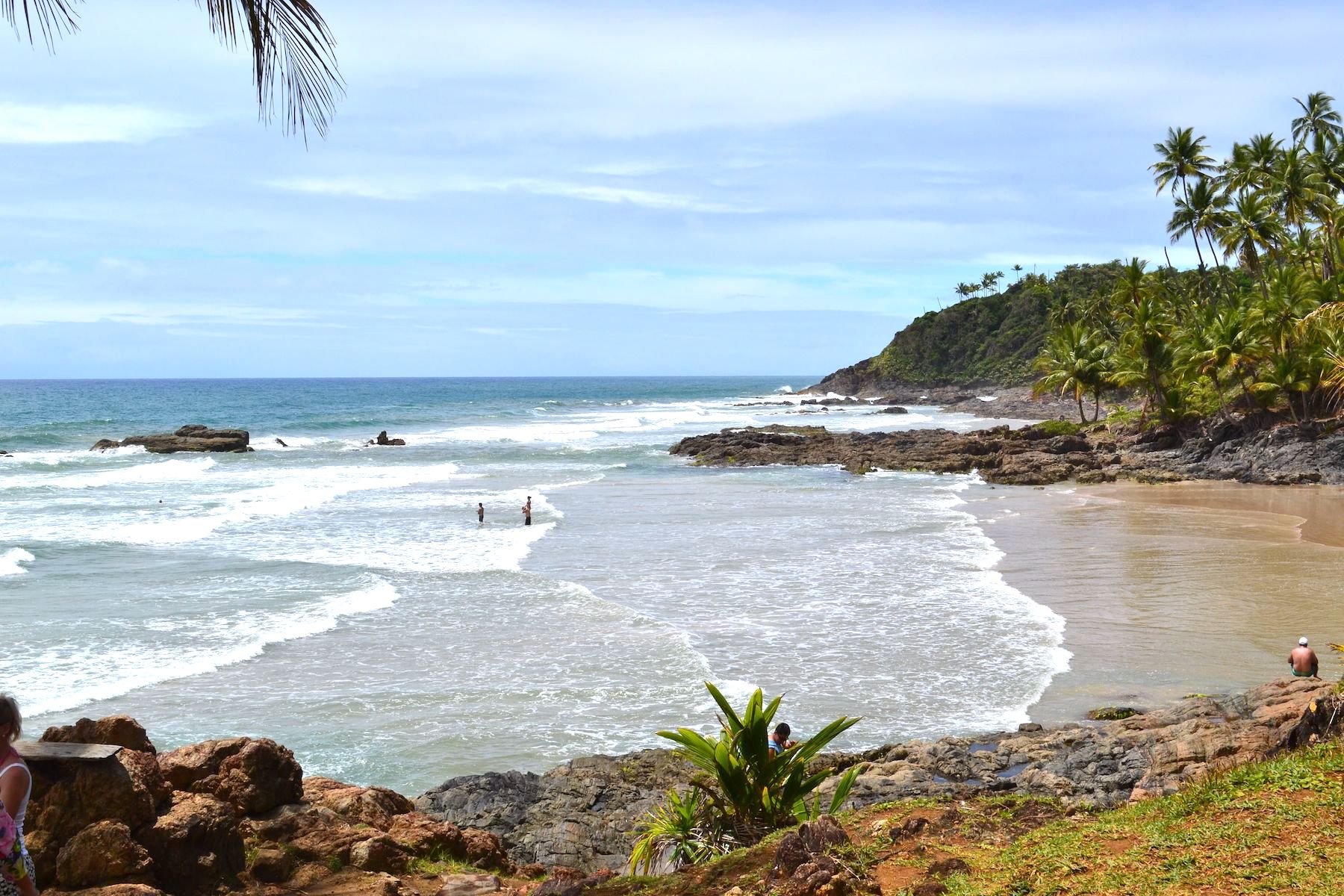
We know that Itacaré is capable of keeping a tourist happy and busy for many days, but as the coast of Bahia is quite large and full of paradises, from Itacaré it will also be possible to make trips and discover other destinations, among them: the neighboring Serra Grande; Península de Maraú, where the natural pools of Taipu de Fora are located; Morro de São Paulo; and the spectacular Island of Boipeba.
In addition to beaches and tours, visitors to the region will be delighted by the restaurants in Itacaré, which serve the best of Bahian spices. A walk along Rua da Pituba is capable of driving any food lover crazy, but on the beaches it is also easy to find delicious delicacies. Enjoy!
Hottest month |
February (26 °C avg) |
|
Coldest month |
July (22 °C avg) |
|
Wettest month |
December (72.5 mm avg) |
|
Windiest month |
August (14 km/h avg) |
|
Annual precip. |
580.5 mm (per year) |
Jericoacoara, located in the state of Ceará, is an incredibly beautiful fishing village that is well preserved and has a rustic air, as you will see once you have conquered the 23 kilometers of dunes between Jijoca and Jeri by 4x4.
Thanks to two factors the region remains relatively untouched: the first is the precarious access – Jeri is only reached by four-wheel-drive vehicles, after a lot of shaking. In 2017, however, the region gained an airport. But the still high ticket prices contribute to maintaining the village's roots style. In the same year, the charge of a tourism tax was introduced. The second is the transformation of the region into an environmental protection area, which happened in 1984, and later into a National Park, in 2002, preserving an area of about 200 square kilometers full of golden dunes, mangroves and transparent lakes.
Most people who want to enjoy the sea, go to Jeri beach, the closest to the village. The beach has a nice vibe and getting some sun after a dip in the sea is rejuvenating. Some restaurants have sunbeds and umbrellas that make life easier for those who don't want to worry about too much. For those who want to practice or learn kitesurfing, this is the place to be. If you want to enjoy crystal clear water, you might prefer the lagoons rather than the sea.
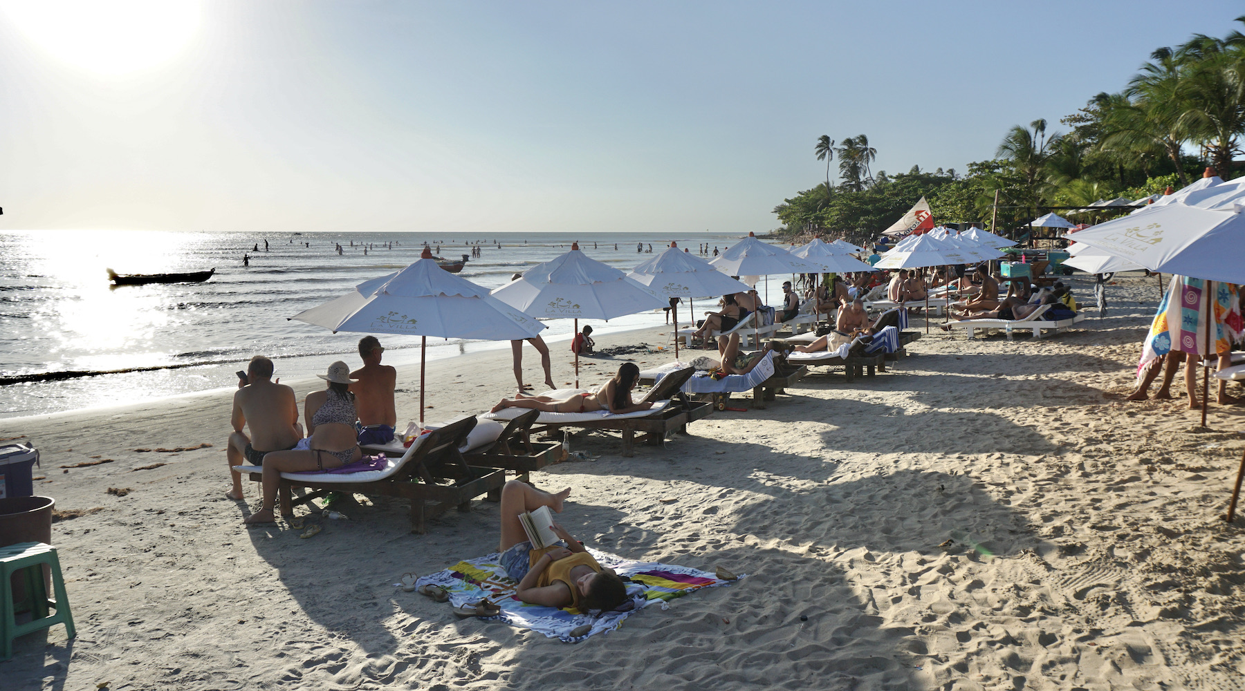
Jeri's natural attractions are, in large part, far from the village. On the West Coast, the attractions you will find are the Mangue Seco, a trip through the dune area and the Lagoa da Tatajuba, which offers restaurants. On the east side, the most popular spot in the region, the biggest attractions are Lagoa Azul, the beautiful Lagoa do Paraíso, the Alchymist beach club and Pedra Furada. Jericoacoara's agencies offer tours to the east and west side, which can be done by buggy or 4x4 vehicles, privately or shared – it all depends on how you would like to carry out the activity.
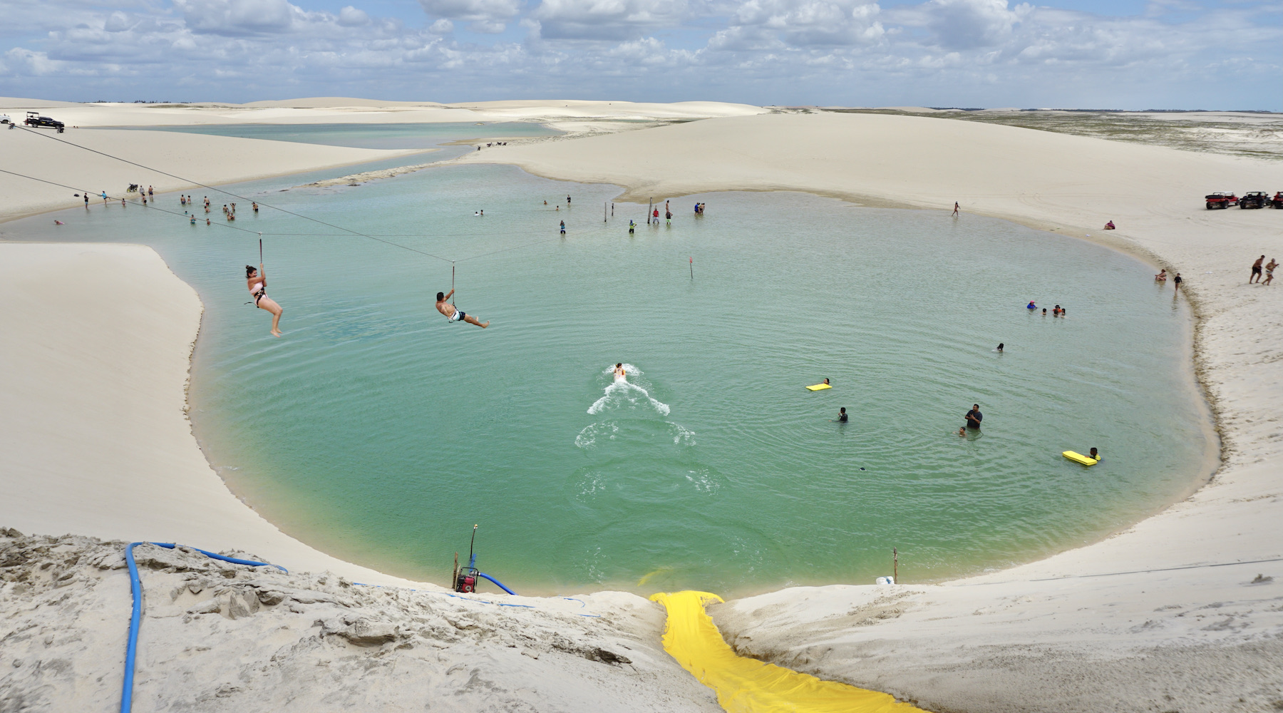
The sunset is always an attraction in Jeri, and if you can, admire it every day of your trip, each day from a different place. You can follow the sun setting at Praia de Jeri, on the beautiful Duna do Pôr do Sol, which has a wonderful view, or if you prefer something more agitated, at the party that takes place on the rooftop of the Hotel Hurricane Jeri.
Hottest month |
October (28 °C avg) |
|
Coldest month |
April (26 °C avg) |
|
Wettest month |
April (138.8 mm avg) |
|
Windiest month |
September (27 km/h avg) |
|
Annual precip. |
582.3 mm (per year) |
João Pessoa is one of the most beautiful cities in the Northeast and enchants for its beaches and nature. Tourism in João Pessoa has been growing every year and the capital is becoming more and more famous.
João Pessoa is not only famous for its natural beauty, but also for its history, being the third oldest capital in Brazil. Founded in 1585, the city had several names until it was named João Pessoa in 1930. The name is a tribute to the former president of the state Paraíba.
Another curiosity is that João Pessoa was elected the greenest capital in the world by ECO 92 and is one of the capitals with the best quality of life in the Northeast region.
Among the attractions of João Pessoa are greenish colored beaches, such as Tambaú, Cabo Branco and Bessa, where you can even find turtle nests. Take some time to go on tours as well to visit the natural pools of Picãozinho, in front of Tambaú, and the Areia Vermelha Island, a sand bank that forms at low tide – these are unmissable programs! At the end of the day, the city's most famous tradition is to go to Praia do Jacaré to enjoy Ravel's Bolero (a musical composition) played on the sax – the ceremony is so famous that it has become Paraíba's cultural and intangible heritage.
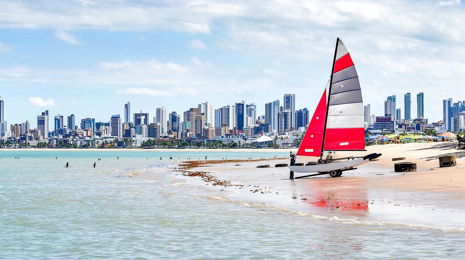
Allied to the natural beauty of the coast of Paraíba, are architectural works, including the Cabo Branco Lighthouse, which symbolizes the easternmost point of the Americas, and the Cabo Branco Station, a Niemeyer project that houses educational and artistical movements. It's worth visiting the city's historic center, with its array of colorful mansions on Praça Antenor Navarro, Hotel Globo and Centro Cultural São Francisco, where the baroque style prevails.
Hottest month |
February (27 °C avg) |
|
Coldest month |
July (23 °C avg) |
|
Wettest month |
April (64.8 mm avg) |
|
Windiest month |
August (23 km/h avg) |
|
Annual precip. |
325.5 mm (per year) |
As much as photos, travel brochures, home videos or professional documentaries are a preparation for what you will find in Lençóis Maranhenses, there is nothing compared to being part of this immensity of dunes and lakes yourself. Those who observe this scenario from above, in a single-engine flight, immediately have a panoramic view of the mosaic of sand and emerald water in the Lençóis Maranhenses National Park.
Physical fitness and willingness to take long walks in strong sunlight are competitive advantages for those who defy the dunes. Intens hikes, cooling off in the lakes, staying overnight in fishing villages – an adventure that should only be undertaken with the help of guides. To enter the park, the most popular option is Barreirinhas, where resorts, inns and agencies that organize tours have been open for about a decade.
The Lençóis Maranhenses National Park covers an area of 155,000 hectares and is considered the largest dune park in Brazil. The protected area is huge, but the Lençóis Maranhenses region is even bigger than the National Park. Among the most popular tours are the Circuito Lagoa Azul, Circuito Lagoa Bonita, Circuito Lagoa das Emendadas and the Canto de Atins. Certainly unmissable tours for those going to Lençóis Maranhenses.
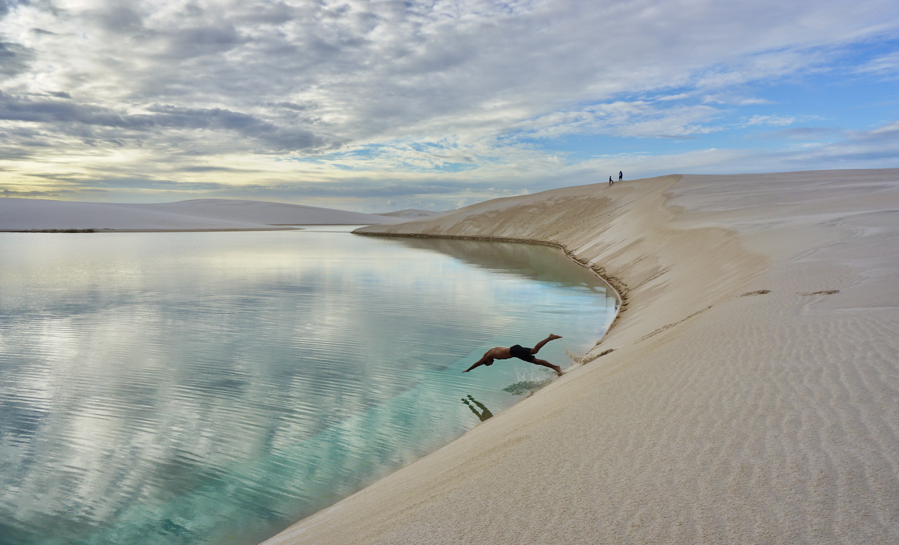
Although the lakes are the main attractions, tourism here goes much further. Visitors to Lençóis Maranhenses can invest in days at Caburé beach and Atins, in tours along the Preguiças and Formiga rivers, and even in the practice of kite surfing, which is growing a lot in the region. Everything involving tours by 4x4 vehicles, beautiful landscapes, transparent waters and always fine and very white sand. And as if that wasn't enough, it's still possible to appreciate the immensity of Lençóis Maranhenses in a flyover for an unforgettable experience!
Those who wish to go even deeper into the experience can invest in crossing the Lençóis Maranhenses National Park on foot. This route, which takes three to five days, is the dream of many adventurers and is certainly the best and most intense way to experience the place.
Hottest month |
November (28 °C avg) |
|
Coldest month |
May (26 °C avg) |
|
Wettest month |
april (223.5 mm avg) |
|
Windiest month |
September (27 km/h avg) |
|
Annual precip. |
884.2 mm (per year) |
Maceió has a wonderful coastline. Three beautiful beaches – Pajuçara, Ponta Verde and Jatiúca – occupy six kilometers of tree-lined shores, with bike paths, a promenade, beach bars and a colorful sea, protected by natural pools. Almost all hotels in the city are located in this region.
The beaches of Maceió are the main tourist attractions, decorated with coconut trees. Some of the highlights are the natural pools of Pajuçara and the Mundaú lagoon. In addition to the urban beaches, along the coast of Alagoas there are even more beautiful beaches, some of them deserted that look like paradise.
Maceió has one of the most beautiful waterfronts in Brazil and this beauty is mainly due to the sea, which is kind of similar to the Caribbean, and the numerous coconut trees planted along the coast. Those who visit the capital of Alagoas are likely to travel in search of beaches and good sunny days in front of the sea; if that's what you expect from the trip, get ready, because you'll find much more: good cuisine, handicrafts and an infectious atmosphere!
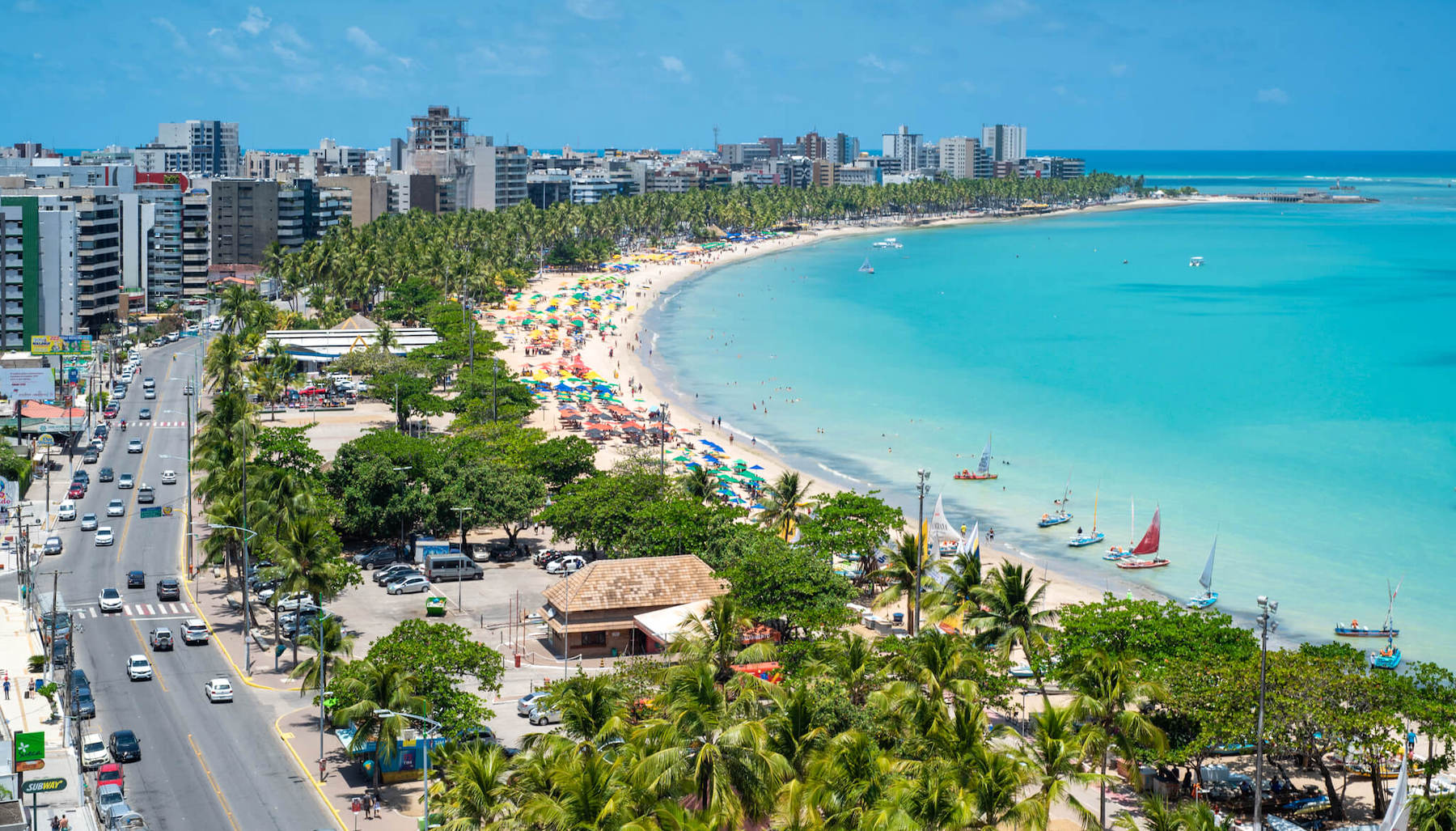
Don't just get stuck in the heart of the capital and give a chance to tours that explore other beaches in Alagoas. Going to Praia do Francês and to Paripueira, with natural pools of crystal clear water, are beautiful programs. At low tide, which always sets the pace for the tours, Maragogi and Praia do Gunga (considered one of the most beautiful in Brazil) are unbeatable and surprise for their beauty. If you want to get away from the basic itinerary, go to Piaçabuçu on the border with the state of Sergipe, where Foz do São Francisco is located – this place has golden dunes and spectacular landscapes!
Hottest month |
March (28 °C avg) |
|
Coldest month |
August (23 °C avg) |
|
Wettest month |
April (38.7 mm avg) |
|
Windiest month |
December (17 km/h avg) |
|
Annual precip. |
325.3 mm (per year) |
Halfway between Maceió and Recife lies Maragogi. Located in the heart of the Costa dos Corais, the village draws attention for its beautiful complex that brings together crystalline sea, fine sand, coconut trees and reefs, not to mention the excellent accommodation infrastructure. In addition to the paradisiacal elements, the landscape is further enhanced by Galés, the huge natural pools six kilometers from the coast, full of fish and accessible by catamarans and boats that depart from the central beach.
The attractions of Maragogi, however, are not limited to the natural aquariums. The scenery, both to the north and to the south, is enchanting and practically deserted.
The main activities in Maragogi are enjoying its beaches, taking boat trips to visit the natural pools and also going on a buggy ride, which allows you to visit the entire coast of the region and several of its beaches and points of interest in a few hours.
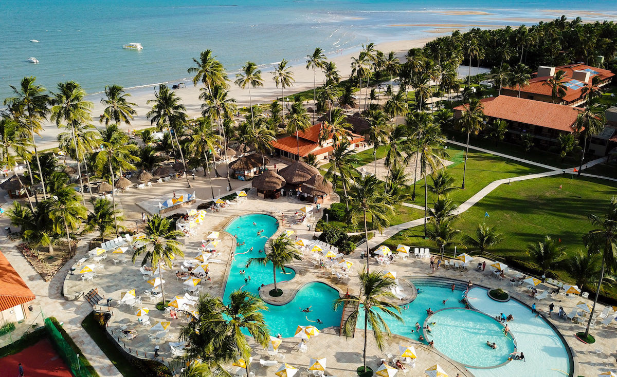
There are three groups of natural pools that the city of Maragogi is rich: the well-known Galés, which started the success of Maragogi, as well as Barra Grande and Taocas. The pools have a daily control of visitors to keep them preserved and are visited when the tide is at its lowest. Your visit can be made by catamaran or motorboat — it is recommended, however, to go by motorboat as the trip is much faster and easier.
The beaches of Maragogi, when visited at the right time, are ideal for children and for those who enjoy a sea worthy of Caribbean waters, with an outstanding tranquility. Remember the names of these beaches to visit: Barra Grande, Praia de Antunes, Ponta de Mangue and Peroba — they are wonderful and great options to enjoy when in Maragogi.
Hottest month |
February (27 °C avg) |
|
Coldest month |
August (23 °C avg) |
|
Wettest month |
April (50.5 mm avg) |
|
Windiest month |
August (18 km/h avg) |
|
Annual precip. |
325.3 mm (per year) |
One of the most beautiful and trendy spots on the coast of Bahia, the quiet village of 20 years ago has given way to a bustling Morro de São Paulo, full of inns, restaurants on Rua Caminho da Praia, shops and lively nightlife. The Praça Aureliano Lima, in the center of the village, has been paved with cobblestones, and on the Segunda beach a wooden walkway has been constructed to facilitate circulation to the beginning of the Terceira beach.
This paradisiacal destination is located on Tinharé Island. It is only possible to arrive by boat and only two cities offer access to Morro de São Paulo, the capital Salvador and Valença.
The main activities in Morro de São Paulo are linked to the sea. Enjoying the beaches is certainly a classic program there: the Primeira beach is the closest to the center, the Segunda beach is the bustling beach, the Terceira beach has some natural pools at low tide, as well as the Quarta beach, which is very extensive and nice for those looking for tranquility.
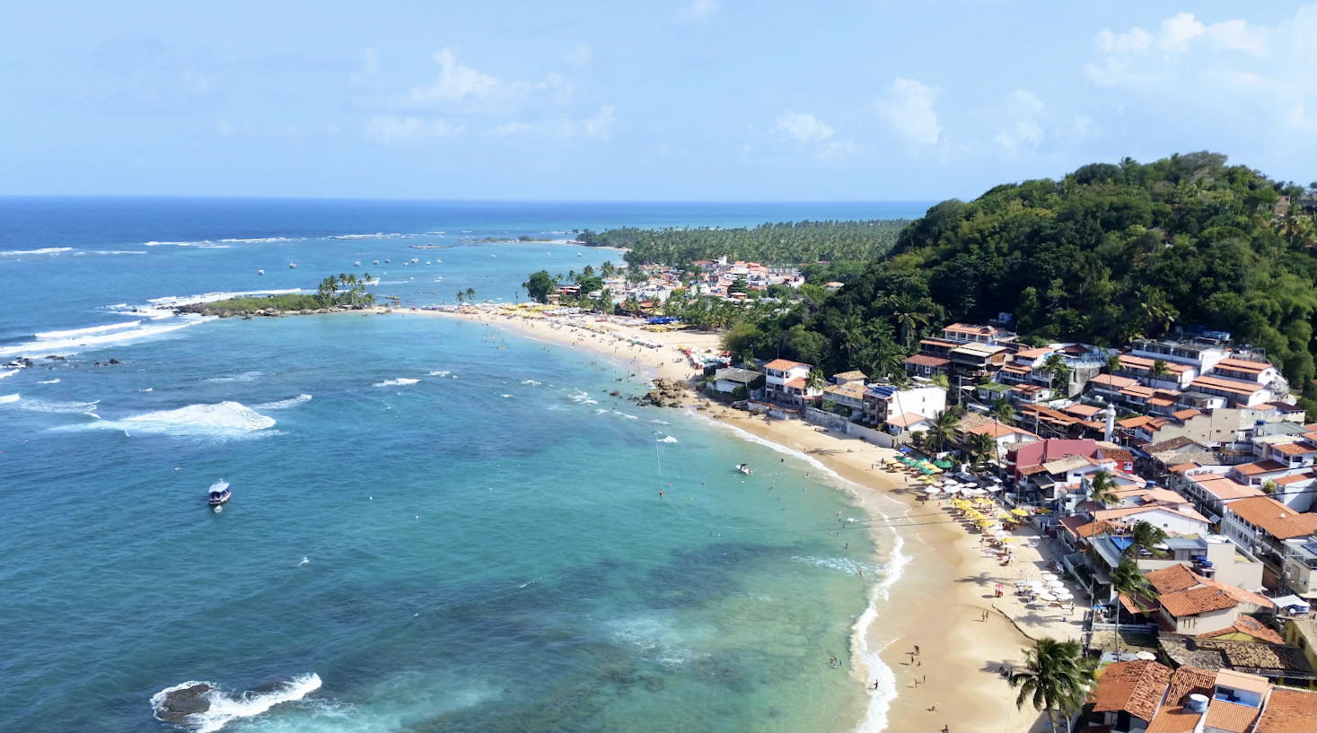
In addition to the beaches of Morro de São Paulo, you can also go diving, hiking, practice nautical sports, go down one of the biggest ziplines in Brazil, take a boat trip around the island, visit Boipeba, visit the Morro de São Paulo Fort and enjoy the sunset, which is always beautiful.
Something that happens every day is the habit of people going to a good place to watch the sunset, after enjoying the beach and before returning to the inn to rest. The most popular places are the Morro de São Paulo Fort and Toca do Morcego.
Hottest month |
February (27 °C avg) |
|
Coldest month |
August (23 °C avg) |
|
Wettest month |
December (46.8 mm avg) |
|
Windiest month |
October (13 km/h avg) |
|
Annual precip. |
342.8 mm (per year) |
With sun almost year-round, the capital of Rio Grande do Norte is one of the favorite destinations in the Northeast. Known for its beaches, dunes, lagoons and the friendliness of its people, a trip to Natal offers unforgettable tours. And when hunger hits, regional cuisine enters the scene with dishes based on seafood, fish, tapioca and other regional foods.
A good way to arrive in Natal is via the Newton Navarro bridge. From the top, at 55 meters above the Potengi river, some of the main attractions of the capital can be seen: the sea in different shades of blue, the golden dunes of neighboring Genipabu and the Reis Magos Fort (dating from 1628).
Ponta Negra is the city's main tourist district and the place you'll want to enjoy while on your trip. It also has the capital's main beach, Praia de Ponta Negra, and at one of its ends is Morro do Careca, a dune over 100 meters high that has become the postcard image of the State.
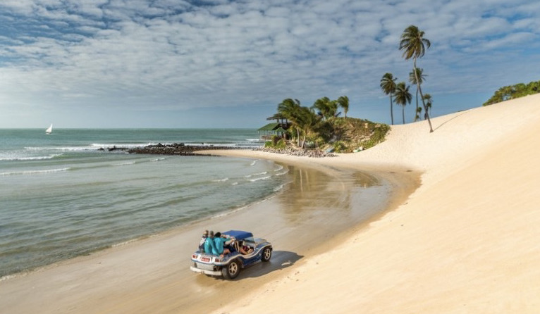
The main activities in Natal are to enjoy the city's beaches, take trips to the surrounding areas to visit Parque das Dunas, natural pools and neighboring beaches. As Rio Grande do Norte is a relatively small state, it is very easy to take trips to nearby destinations, such as Maracajaú and Pipa.
During your trip you will also want to take the opportunity to visit the restaurants in Natal, which combine the cuisine of the sea and the wonderful northeastern spices. Tapiocas, dried meat dishes and shrimp must be part of your diet during this trip!
Hottest month |
March (27 °C avg) |
|
Coldest month |
August (24 °C avg) |
|
Wettest month |
April (97.9 mm avg) |
|
Windiest month |
August (24 km/h avg) |
|
Annual precip. |
346.1 mm (per year) |
A UNESCO Historical and Cultural Heritage Site since 1982, Olinda is much more than a Carnival destination or a daytrip from Recife. On days of festivities, the city's slopes attract two million people. But throughout the year, the magic remains, with a magnificent set of baroque churches and charming colonial houses that are now home to cafes, restaurants and ateliers.
Olinda is one of the most colorful and lively destinations in the Northeast. It is during carnival that the slopes of Olinda are crowded with tourists from all over the world, who are captivated by the rhythm of frevo and maracatu (musical rhythms and dances typical from the region), and also by the parade of giant puppets, already traditional in the Pernambucan municipality. Out of season, the city becomes a true open-air museum of the history of Brazil's colonization.
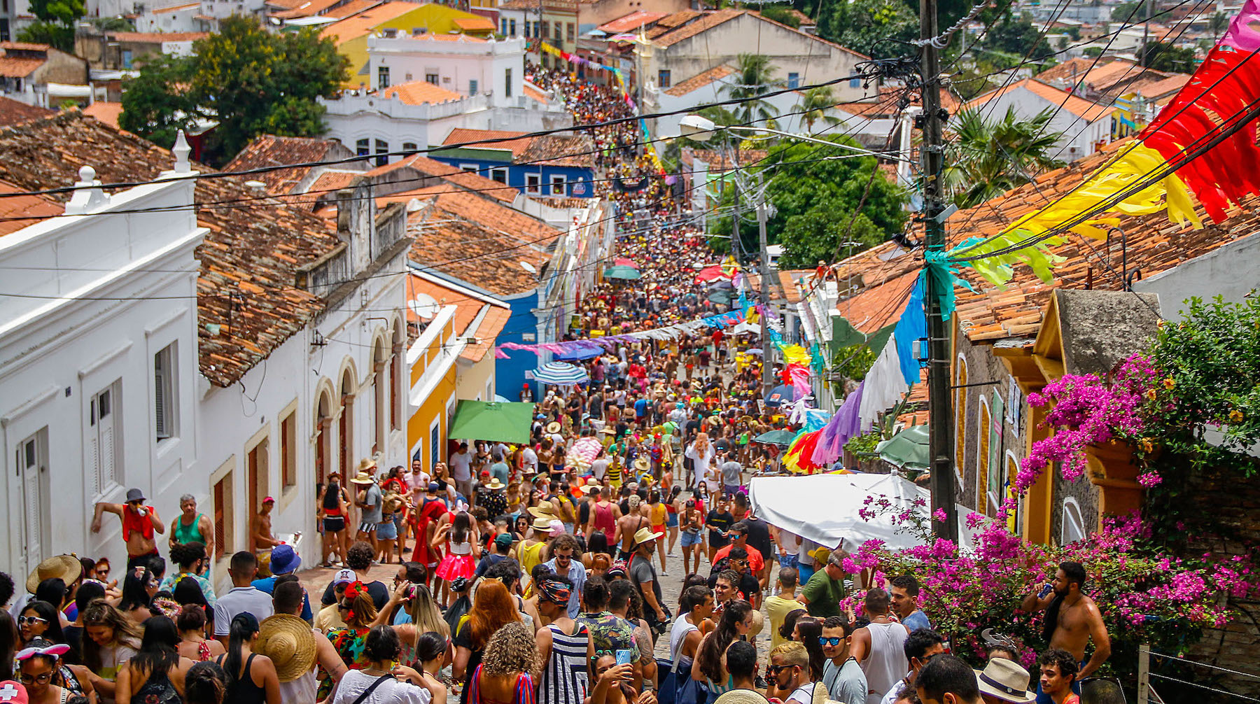
Known as Cidade Alta (high city), the historic center of Olinda is where the main slopes of the city are concentrated, with all those colorful houses, historic churches and many local craft shops — great for buying souvenirs for the whole family. Get ready to take the best pictures of your trip there!
At the highest point of the historic center is the Alto da Sé viewpoint, where visitors will have a beautiful 360-degree view of Olinda and also the shore of Recife. In addition to this privilege, there are also several stores, snack bars and stalls selling acarajés (a snack made from beans) and tapiocas.
The Convento de São Francisco offers incredible architectural and decorative beauty. In the monastery, 16 mosaic panels depict the life and death of São Francisco. The tiles in both the inner courtyard and the chapels are Portuguese and have Baroque details.
In addition to the famous carnival of Olinda and its historic center, the beaches are also a good reason to visit the city. Some of the best beaches in the region are: Praia da Casa Caiada, Praia Rio doce, Praia do Farol, Praia de São Francisco, Praia do Carmo and Praia dos Milagres.
Hottest month |
March (27 °C avg) |
|
Coldest month |
August (23 °C avg) |
|
Wettest month |
April (41.8 mm avg) |
|
Windiest month |
August (20 km/h avg) |
|
Annual precip. |
225.5 mm (per year) |
Discover the Peninsula of Maraú, another one of those incredible pieces of coast that show the best of Bahia!
The beaches of the Maraú Peninsula are almost deserted, with calm seas, crystal clear waters and surrounded by nature — a paradise in the Northeast. In its surroundings, lakes, trails and waterfalls offer options for those who don't want to spend the day sitting on the beach.
And what about the calm and rustic atmosphere that spreads across the peninsula. In villages like Algodões and Saquaíra, get some rest away from the hustle of the cities and enjoy the tranquility of the region.
The Peninsula of Maraú has a part of the coast facing the ocean and another part at the Camamu Bay. On the ocean side, there are beaches that are heavily influenced by the tide and where the phenomenon of natural pools occurs (always at low tide). The most famous ones are in Taipu de Fora, but it's also possible to see natural pools on other beaches, such as the exuberant Praia de Algodões, which can still be considered a hidden paradise amidst the beauty of Maraú. On the Camamu Bay side, the calm sea is an invitation to relax, especially at dusk, when the sun sets on the water and gives a spectacle in places like Ponta do Mutá beach and the Carapitangui river.
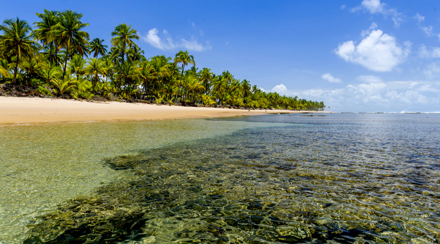
In addition to the beautiful beaches (which are reason enough to go to Maraú and Barra Grande), visitors to the region can practice snorkeling in the natural pools of Taipu de Fora; ride the Bromeliad trail by quad bike; take a tour through the islands of the Baía de Camamu to the Tremembé waterfall; take a bath in the Carapitangui river; visit the Cassange lagoon; watch the sunset at Ponta do Mutá; visit the village of Taipu de Dentro and enjoy the village of Barra Grande. And since getting to the Maraú Peninsula is not very easy, take the opportunity to stay there as long as possible!
Hottest month |
March (26 °C avg) |
|
Coldest month |
July (22 °C avg) |
|
Wettest month |
December (76.5 mm avg) |
|
Windiest month |
October (14 km/h avg) |
|
Annual precip. |
480.5 mm (per year) |
Pipa's charm goes beyond the mix of a hippie-chic atmosphere with the hype of young people looking for fun. The main street and its side streets are dotted with good quality restaurants, bars and shops. On holidays, crowds and agitation is guaranteed.
But Pipa's success is not just down to charm. Pipa is also the best beach destination in Rio Grande do Norte for those who enjoy... exactly, beaches. Bathing in the sea is safe (and very pleasant) at any tide.
And if you want more than spending your days on the beach, the tour menu offers cliffs, dunes, woods and natural pools to the north and south of the village.
Pipa has many interesting beaches and they are the ones that attract most tourists. In addition, the region offers many kinds of activities, and if you like adventure there will be plenty of things to do.
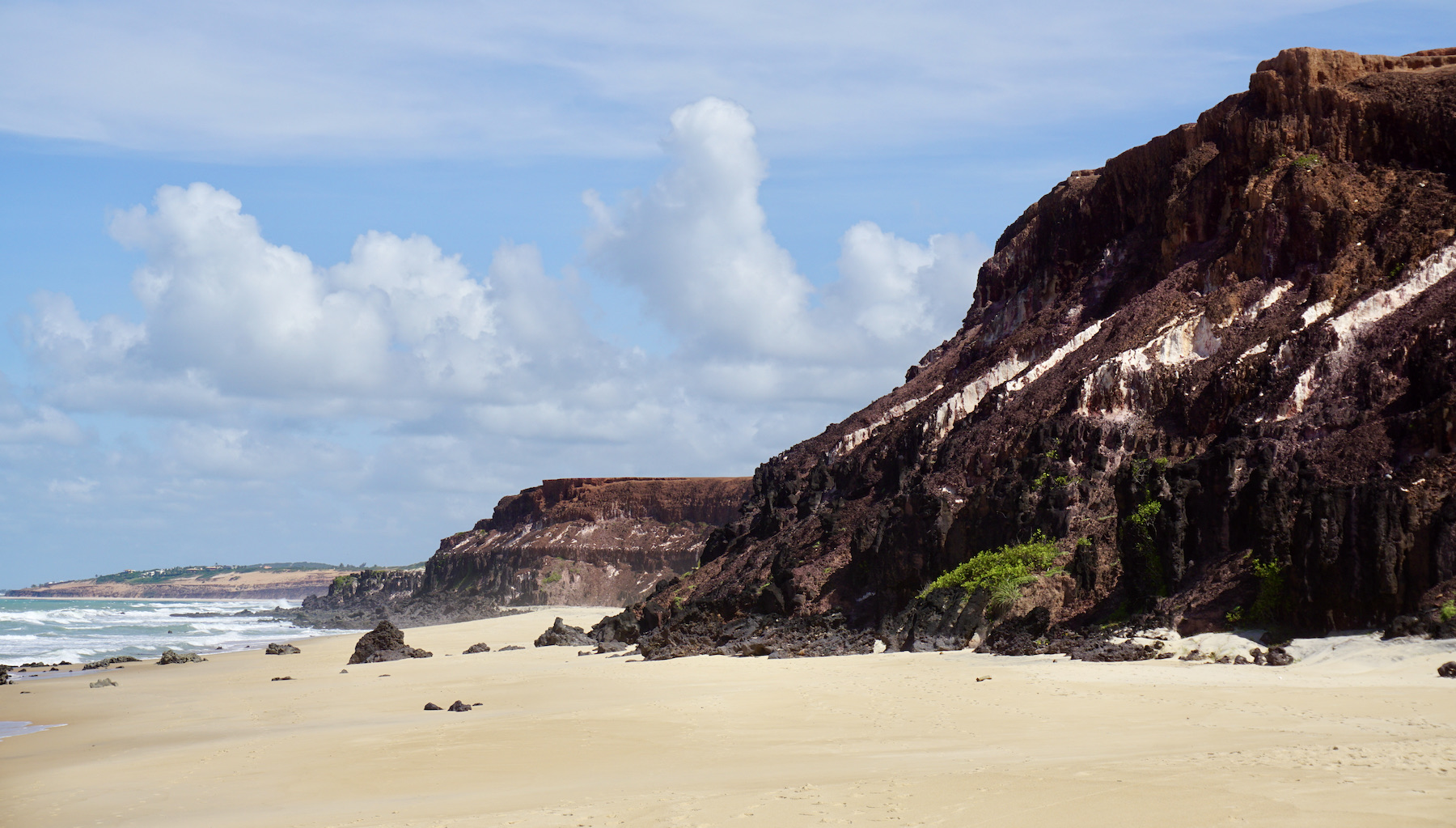
During the day you can go paragliding — jumping from the cliffs at Praia do Madeiro, from where you will be able to observe all the beauty of the beaches from above. Or, another idea is to walk through the Ecological Sanctuary, listening to the sound of animals in the trees with the fresh breeze that comes from the sea.
In the late afternoon, the most popular place is the creperie at the Hotel Marina, in Tibau do Sul. It's a simple place, but the view is amazing. When the sun is setting, the restaurant staff play special music for the moment.
Hottest month |
February (27 °C avg) |
|
Coldest month |
August (23 °C avg) |
|
Wettest month |
April (74.9 mm avg) |
|
Windiest month |
September (22 km/h avg) |
|
Annual precip. |
316.1 mm (per year) |
Porto de Galinhas owes much of its fame to the great amount of reefs it has close to the shore. Because of that, the fishing village became a respectable tourist hub in the early 1990s: travellers from all corners of Brazil landed in the village to board rafts and visit the reefs and natural pools. Hotels, inns, resorts, residential condominiums and vacation homes emerged to serve a growing number of visitors.
One of the destinations in Northeastern Brazil that receives the most amount of tourists during summer, Porto de Galinhas is a beach located in the municipality of Ipojuca, in the state of Pernambuco, which has several attractions and leisure options in an idyllic setting surrounded by white sands, natural pools, sea with clear and warm waters full of colorful fish.
With its extensive coastline, the main activity of Porto de Galinhas could not be other than enjoying the sea, and taking walks along the beaches and their natural pools, with access through a boat ride that you should not miss. The best beach in Porto de Galinhas, Praia de Muro Alto, cannot be left out of your itinerary either. At low tide this beach is calm like a lagoon, it's a delight!
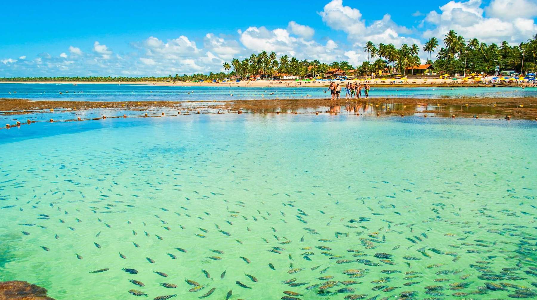
Another really cool option is the buggy ride along the coast, which allows visiting several beaches on the same day. From there, you can have an overview and know which beaches in Porto de Galinhas you want to come back to and spend more time.
If your schedule allows it, you can still stretch your trip and visit neighboring destinations, such as Praia de Carneiros, Maragogi or Recife.
Hottest month |
February (27 °C avg) |
|
Coldest month |
August (23 °C avg) |
|
Wettest month |
April (50.8 mm avg) |
|
Windiest month |
August (19 km/h avg) |
|
Annual precip. |
325.5 mm (per year) |
The place where the history of Brazil began shows a lot about the nature and culture of the country. In addition to beautiful beaches, with a blue-green sea lined with coconut trees, animation in Porto Seguro is found in one of the mega beach bars with the sound of axé music and other rhythms. The main city on the Costa do Descobrimento is one of the favorites of students, couples and families throughout the year.
Although it is not the main focus of tourists, the historical part yields great tours, such as the Cidade Alta, which guards the Posse do Descobrimento landmark, from 1503. The replica of the flagship of Cabral's fleet stands on the Epopeia do Descobrimento memorial on Praia do Cruzeiro, and the Pataxó da Jaqueira Indigenous Reserve preserves the culture of one of the ethnic groups that inhabited the region. Praia da Coroa Vermelha, in the neighboring Santa Cruz Cabrália, was the location chosen by the Portuguese for the first Mass held in Brazil.
Porto Seguro is a very complete destination in terms of options. From day to night, there are plenty of places to visit. Its natural beauty is immense and you will not regret exploring the city in depth.
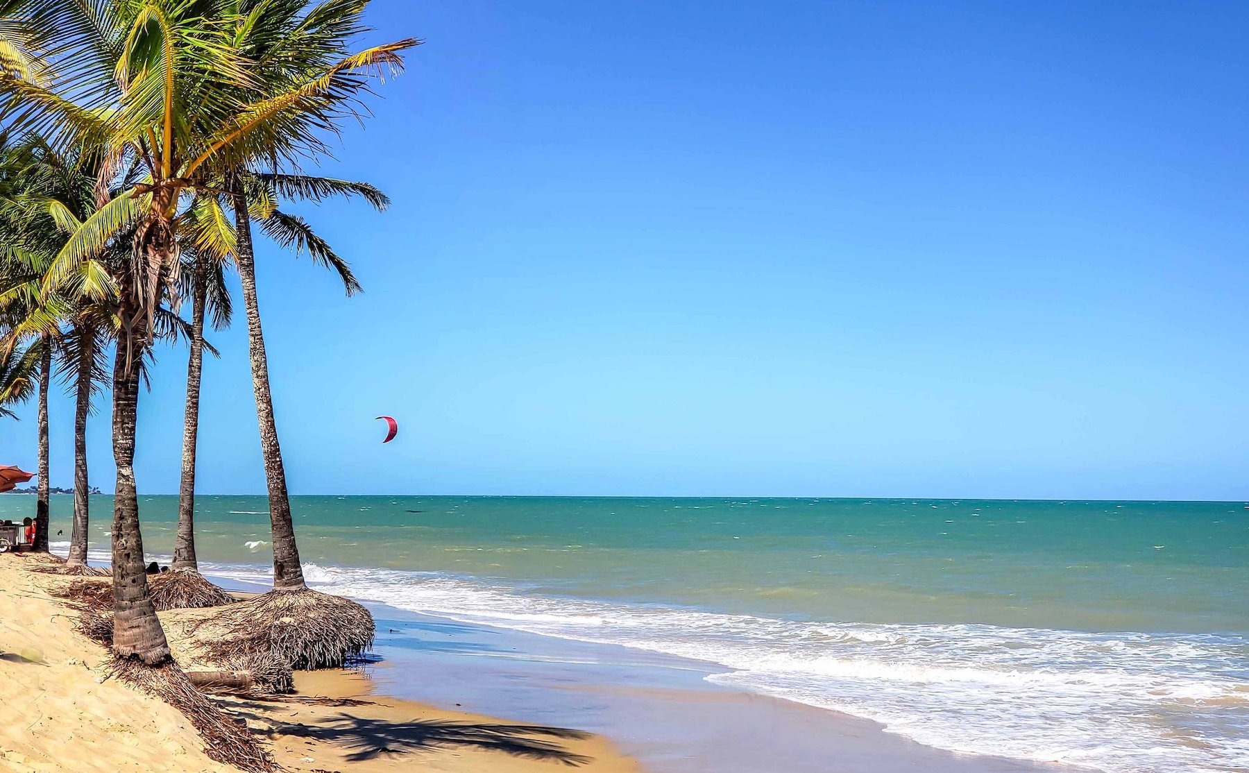
The main attraction for those visiting Porto Seguro is the beach, as well as its excellently structured beach bars. In addition, many tours are offered to places that surround the city. Arraial d'Ajuda, a neighboring district, is a great example.
At night, there's nothing better than going to the Passarela do Álcool. The place is full of bars, drink stands, restaurants and souvenir shops. The best of the night is there.
Hottest month |
February (26 °C avg) |
|
Coldest month |
August (22 °C avg) |
|
Wettest month |
December (94.5 mm avg) |
|
Windiest month |
October (16 km/h avg) |
|
Annual precip. |
580.5 mm (per year) |
It is one of the most desirable destinations in Southern Bahia – and one of the most expensive. The inns, with their hammocks and sunbeds shaded by the trees, gain a charming atmosphere at night, lit by candles. And the calm sea, which displays its greenish tones under the sunlight, gains silvery reflections during the full moon. If the goal is to save money, the best way to get to know Praia do Espelho is to make a round trip from Arraial d'Ajuda or Trancoso.
The famous natural pools of Praia do Espelho (also called Curuípe) are the desire of many tourists who visit the South Coast of Bahia. Combined with the beautiful cliffs in shades of pink, red, beige and ocher, the natural pools at Praia do Espelho become a paradise for sea lovers. The look is complete with the intense coconut trees that border the strip of sand and also with the river that flows into the sea, giving a bucolic and even more charming air to this destination.
The name Praia do Espelho takes the fame, but in fact, the largest number of restaurants and inns are on Praia de Curuípe – Espelho is the quietest beach on the other side of the creek. Not to complicate matters, we can say that they are two beaches in one. On sunny days, the sea varies from a stunning green to a blue so light that it inspired the name of the beach. The high cliffs complement this cinematic look. Climbing the cliffs guarantees the best view for the perfect shot.
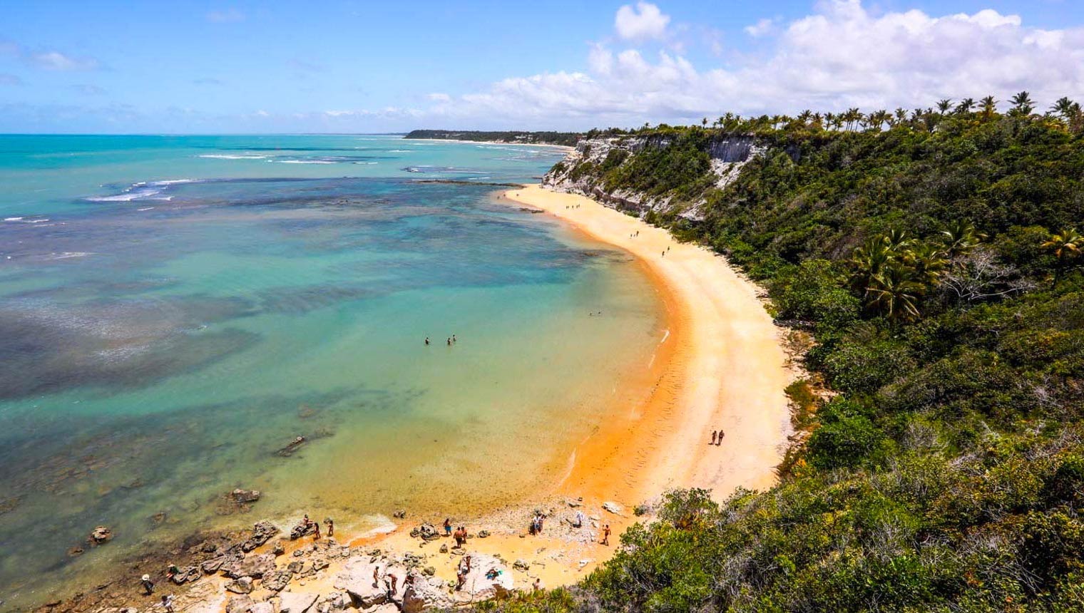
From Curuípe, walking to the left, you arrive at Praia dos Amores, which practically disappears at high tide, hence its name: couples were trapped in it and were caught dating. Next door, Praia do Outeiro, also known as Setiquara, closes this beautiful set of beaches: with access on foot from Praia dos Amores or by car from Condomínio Outeiro das Brisas, it is marked by cliffs and a green sea. During low tide, natural pools are formed.
Hottest month |
February (26 °C avg) |
|
Coldest month |
August (22 °C avg) |
|
Wettest month |
December (90.5 mm avg) |
|
Windiest month |
October (16 km/h avg) |
|
Annual precip. |
580.3 mm (per year) |
Since Porto de Galinhas was elevated to the capital of mass tourism in Pernambuco, Recife has lost its status as a beach destination. However, in Recife the beach is a (great) complement to everything else the city has to offer. Namely: two historic centers (Recife Antigo and neighboring Olinda), intense cultural life and quality gastronomy.
Boa Viagem, the beach neighborhood where most hotels are located, is so self-sufficient that even the airport is there. If there is no traffic and your hotel check-in is efficient, when you disembark your flight you will be twenty minutes away from your first walk along the boulevard.
But also take the opportunity to venture far from the beach: in the north zone, the neighborhood of Casa Forte – and its older center, Poço da Panela – reveals a charming Recife unknown to tourists.
Recife and Olinda make an unbeatable duo when it comes to tourist attractions. Make sure you take time to get to know the old part of the two cities. Go to Igreja da Sé, Convento São Francisco, Marco Zero, Torre Malakoff, Rua do Bom Jesus, Capela Dourada and the spaces built by the Brennand cousins – where sculptures and antique objects fascinate visitors –, the Brennand Workshop and the Ricardo Brennand Institute.
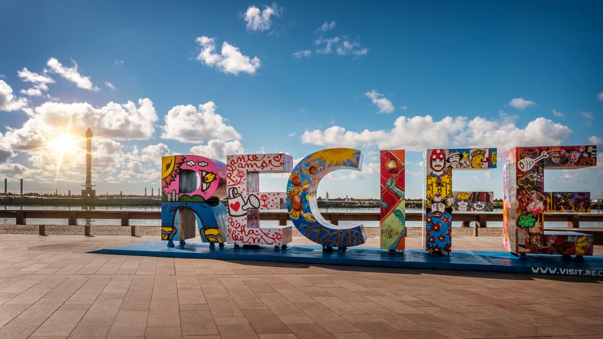
The sea is also an excellent reason to explore the city. Boa Viagem is the main beach in Recife and it has a great structure, but if you go outside the city limits you can also visit Praia de Calhetas, Praia dos Carneiros or the famous Porto de Galinhas, which is worth more than a tour of just one day.
At night, a good idea is to try dishes from restaurants such as Chica Pitanga or Parraxaxá, specialized in regional cuisine. Those who like bars can go to Biruta Bar, which is located in front of the sea, or to Burburinho, famous for its stuffed pastry. The Rua da Moeda region has cool bars to go at night, as well as Pina and Boa Viagem.
Hottest month |
February (27 °C avg) |
|
Coldest month |
July (23 °C avg) |
|
Wettest month |
April (41.8 mm avg) |
|
Windiest month |
September (19 km/h avg) |
|
Annual precip. |
325.5 mm (per year) |
Salvador is known for being the capital of joy. Filled with tourist monuments, wonderful beaches, carnival and welcoming people with a contagious accent, the city attracts the attention of tourists.
If you are thinking of travelling to Salvador, get ready to discover a city rich in culture, gastronomy and architecture. The capital of Bahia has several historical monuments, in addition to many wonderful churches. Many indeed; legend has it that Salvador has 365 churches, one for each day of the year!
To get to know the city well, get ready to walk a lot and climb many hills. While walking, don't miss the Baroque architecture. It draws attention to the beauty and colors of the buildings.
The historic center and the Pelourinho, where the old buildings in the city are located, are unmissable tours in Salvador and a good place to start your itinerary. There you will be able to learn about the history of the capital and origin of Brazil, visit churches such as the Igreja e Convento de São Francisco. The Lacerda Elevator, which connects the Cidade Alta and Cidade Baixa (high and low city), and the Mercado Modelo, traditional for the sale of local souvenirs, are also worth visiting nearby.
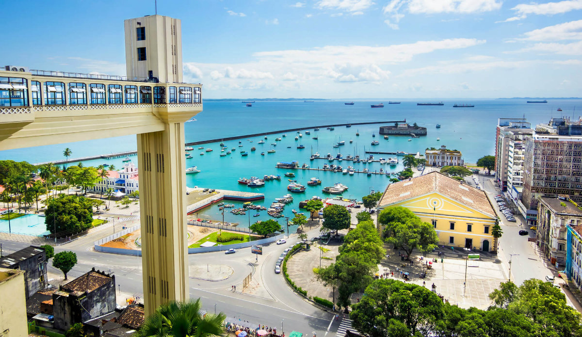
To enjoy the beaches and the long coast of Salvador, there is no shortage of options. From the beach of Porto da Barra, another attraction that can't be missed, to beaches a little further away, such as Stella Maris. The sea is beautiful, crystal clear and at a delicious temperature.
Watching the sunset is a simple and very enjoyable activity that Salvador offers — to watch it you can reserve a spot in Ribeira, a bohemian neighborhood in Salvador, go to the surroundings of Elevador Lacerda or in Solar do Unhão, an architectural complex that now houses the Museum of Modern Art of Bahia.
Hottest month |
February (27 °C avg) |
|
Coldest month |
August (23 °C avg) |
|
Wettest month |
April (48.8 mm avg) |
|
Windiest month |
October (14 km/h avg) |
|
Annual precip. |
432.8 mm (per year) |
São Luís do Maranhão, or simply São Luís, is famous for its historic center and its beautiful beaches, and you've certainly heard about the exuberant beauty of Lençóis Maranhenses, haven't you? In addition to its stunning nature, the capital of Maranhão stands out for its architecture that mixes Portuguese, French and Spanish influences.
São Luís is a place that mixes several historical influences. The city is the only Brazilian capital founded by the French, in 1612. The capital was later invaded by the Dutch and, finally, colonized by the Portuguese. Such influences can be seen in numerous properties listed by the State Historical Heritage that bring a unique architecture.
Walking through the historic center of São Luís is a mandatory stop in the city, as it is a UNESCO World Heritage Site. Observing the local architecture and the historic houses is quite a program. On the tour, it is worth visiting the Palácio dos Leões, the Palácio de La Ravardière (city hall), the Cathedral of São Luís, the Palácio Episcopal, the Historical Museum, the Convento das Mercês, and more.
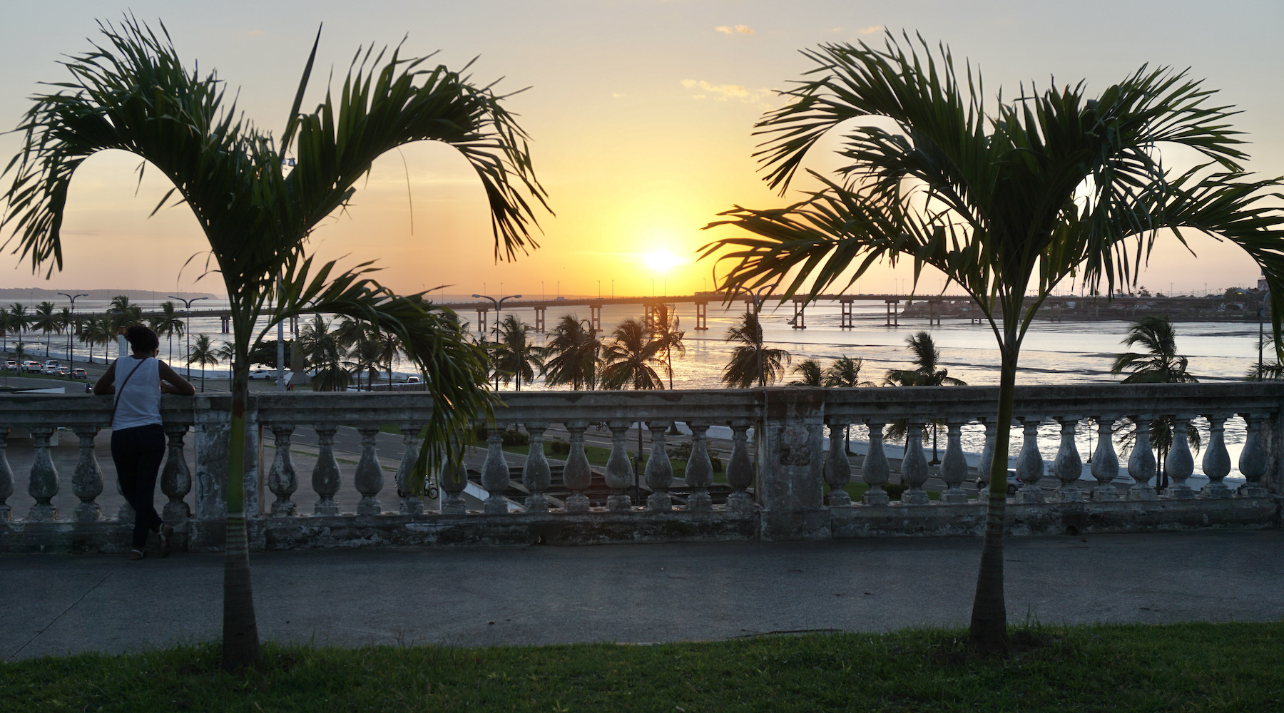
In June, there is one of the most traditional festivals in the city: São João. The happiness there is contagious, the energy, the dances, the traditional clothes, full of folklore traits. There are several games in the middle of the party and Bumba-meu-boi is the most characteristic of them.
The North and Northeast regions of Brazil are recognized worldwide as one of the best kitesurfing spots in the world. São Luís is the second best wind region in Brazil, only behind the interior of Ceará. The constant trade winds from 10 to 25 knots bring the perfect conditions for practitioners to fly and color the city skies with their kites and boards.
Hottest month |
November (29 °C avg) |
|
Coldest month |
March (27 °C avg) |
|
Wettest month |
April (208.4 mm avg) |
|
Windiest month |
October (19 km/h avg) |
|
Annual precip. |
964.2 mm (per year) |
There are moments in life when we just need sun and fresh water, right? São Miguel dos Milagres is certainly the right place to meet this need! Located in the state of Alagoas, between the beaches of Porto das Pedras and Camaragibe, the municipality has a rustic and paradisiacal air, which gives the place a charm.
Even at the busiest times, such as new year's eve, carnival and holidays, the movement of tourists is not very high, and you can enjoy the Costa dos Corais, visit the Manatee Sanctuary and natural pools without much fuss. The temperature is always comfortable, the sea is warm and calm, even at high tide, and clean sand can be found on the almost deserted beaches.
One of the must-see programs in São Miguel – in addition to walking along the kilometers of deserted beaches bordered by coconut trees – is to take a boat ride. The tour ends at the natural pools formed at low tide, about a kilometer from the coast. Don't forget your snorkel equipment to swim with the colorful fish in the green and transparent waters, protected by reefs.
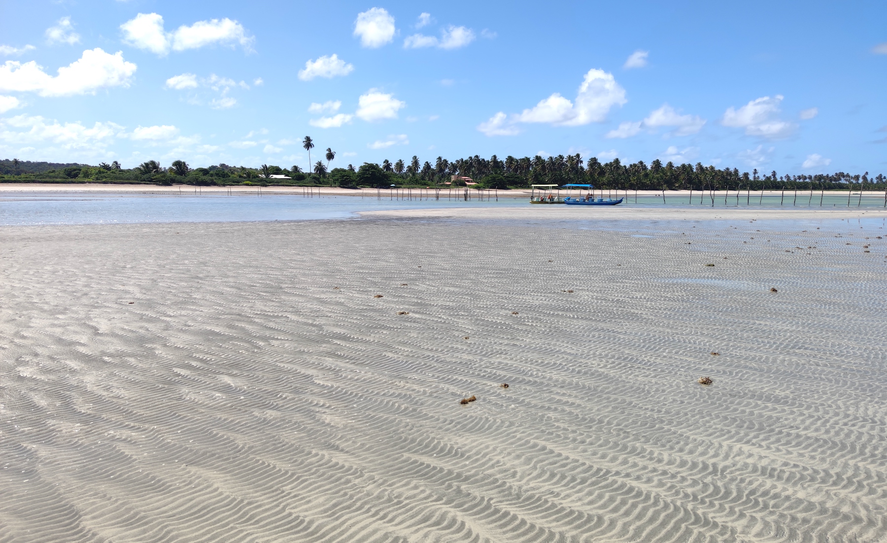
When it's time to relax on the golden sand, there are many beach options. On the almost always deserted Praia do Toque, the flat sand strip is excellent for walking. There are charming inns and excellent restaurants there. For those who want a little more movement, go to Porto da Rua, with colorful boats and some local bars like Bar do Enildo, which takes care of the caipifutras (caipirinhas with different kind of fruits: caju and cajá are not to be missed!).
It is also worth going to Praia do Patacho, ten kilometers away and belonging to the neighboring village of Porto de Pedras, with few constructions – most of which are inns fully integrated with nature. And there are also beautiful beaches in Passo do Camaragibe, such as the beautiful Praia do Marceneiro.
Hottest month |
March (27 °C avg) |
|
Coldest month |
July (23 °C avg) |
|
Wettest month |
April (40.7 mm avg) |
|
Windiest month |
November (16 km/h avg) |
|
Annual precip. |
325.3 mm (per year) |
Don't be surprised if you've never heard of Alter do Chão. This small Brazilian paradise lost in the confines of the state of Pará has not yet taken off as a fashionable tourist destination. But it undoubtedly will. This small city of 7,000 inhabitants, located more than 720 kilometers away from Belém and more than 560 kilometers from Manaus, entered the world of tourism in 2009.
That year, it was elected by the renowned British newspaper The Guardian as the most beautiful beach in Brazil and called the Caribbean of the Amazon. That's because it's one of the most sensational beach destinations on the planet. And there isn't even a sea in the equation. The ocean is played by the dark, but always calm, clean and warm waters of the Tapajós river. And the role of coconut palms is filled by the leafy trees of the Amazon.
travelling to Alter do Chão you can be sure to find scenes worthy of countless photos. The white sand that appears on the banks of the Tapajós and Arapiuns rivers during the dry season — known as the Amazon summer — forms a wonderful set of idyllic beaches. The most famous ones offer restaurants or kiosks for tourists. Others, more unknown, present visitors with an inhospitable environment and the feeling of being in a private paradise.
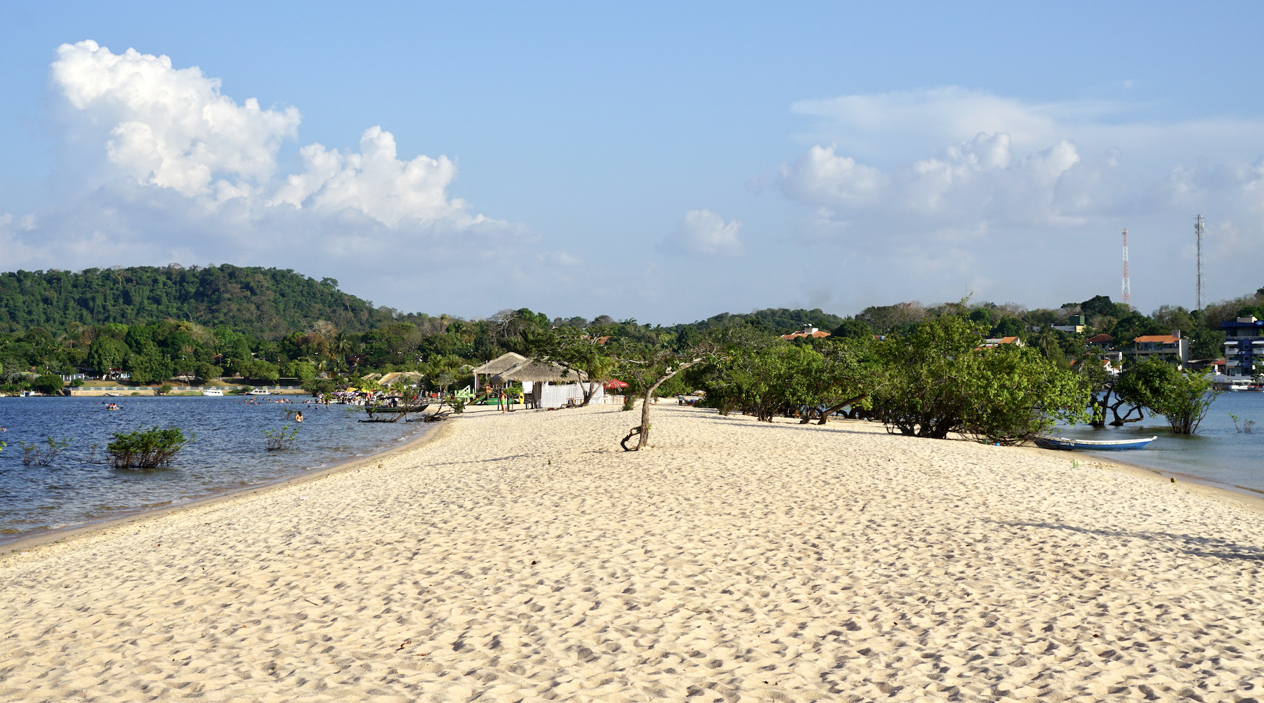
The Alter do Chão region is excellent for those looking for days of rest and direct contact with nature, but it also appeals to those who appreciate a good infrastructure to spend the day relaxing without taking their feet out of the water, with the best fish from Pará, dishes full of flavor and a little bit of the tingle of jambu — a vegetable cousin of watercress, anesthetizes the mouth and makes it feel as if everything is tingling.
The days in Alter do Chão are dedicated to tours that take you to beaches, rivers, lakes, forests, riverside communities, streams and canals that are the synthesis of the region's beauty.
Hottest month |
October (31 °C avg) |
|
Coldest month |
March (26 °C avg) |
|
Wettest month |
March (176.0 mm avg) |
|
Windiest month |
September (9 km/h avg) |
|
Annual precip. |
1189.1 mm (per year) |
Known as Belém do Pará, the capital of Pará is the gateway to the Amazon, through its immense rivers. The city is well known for the Círio de Nazaré (largest Catholic procession in the country), the Ver-o-Peso market and its typical dish, Pato no Tucupi.
Since 2000, the city of Belém has been undergoing a process of revitalization, but always keeping its original characteristics. An example of this was Estação das Docas, which was a set of warehouses in the port, abandoned on the shores of Guajará bay.
With the restoration, the iron structure received glass walls and air conditioning. It became a cultural and gastronomic space, bringing together bars, restaurants, art exhibitions and cinema. Similar to Puerto Madero, in Buenos Aires.
Belém is a city that invites you to discover several tourist attractions, but also many traditions. And it's almost impossible to dissociate the two things, which always go together there. To begin to understand the city of Belém do Pará, there is nothing like the Ver-o-Peso market, the main local attraction and where all traditions meet. To get in the mood, enjoy as many dishes from Pará as you can at some of the traditional restaurants in Belém.
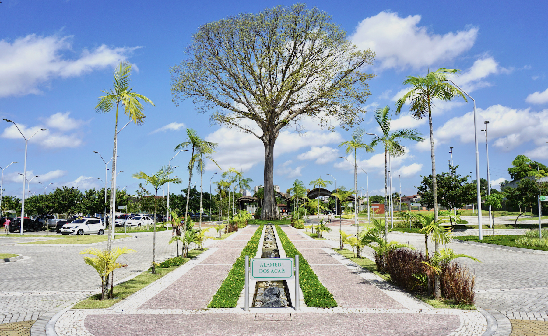
After experimenting a bit of Belém, head to discover other attractions. Many of Belém's main tourist attractions are concentrated in the Historic Center region, comprising the Campina and Cidade Velha neighborhoods. In a day or two you can make an itinerary visiting the Theatro da Paz, the Nossa Senhora de Nazaré Basilica, the Presépio Fort and the entire Feliz Lusitânia Complex, which includes the Metropolitan Cathedral of Belém, the Casa das Onze Janelas and the Museum of Sacred Art. In the late afternoon, be sure to take a boat trip along the Guajará Bay and the Guamá river, with the right to amend the happy hour at Estação das Docas.
To see a little of the Amazon green, be sure to visit the parks of Belém. The Mangal das Garças is the most famous among tourists, but it is also worth visiting Bosque Rodrigues Alves, Parque da Residência and the Utinga State Park. And if you desire an even bigger scenario, a trip to Ilha do Combu is a good choice!
Hottest month |
November (28 °C avg) |
|
Coldest month |
February (26 °C avg) |
|
Wettest month |
March (213.2 mm avg) |
|
Windiest month |
October (10 km/h avg) |
|
Annual precip. |
1283.9 mm (per year) |
Considered the largest fluvio-marine island in the world and still very little known, even nationally, Ilha de Marajó is one of the most preserved ecological sanctuaries in the Amazon. The region's main attraction is the natural beauty provided by its location in Pará, between the Amazonas and Tocantins rivers, and the Atlantic Ocean.
The starting point of the trip is Belém, from where catamarans, boats and ferries depart towards Soure, the "capital" of the island, reached after two to three hours of navigation. It is in this area where you can find the best beaches — Pesqueiro, Barra Velha and Joanes —, the best accommodations and restaurants, in addition to a good part of the 250,000 inhabitants of the region.
Every six months, the island's scenery changes, due to the large amount of rain, especially in the first six months of the year when the forests and fields are submerged under water. After the end of July, the dry season starts and visitation becomes more favorable due to the possibility of better observing animals and vegetation. But the favorite place for tourists year-round is, without a doubt, the beaches with white dunes and fine sand.
With so much diversity, Marajó promotes unique experiences. The most interesting of these is to mount a buffalo for a ride. Symbols of the island, the animals are seen in large herds on the extensive plains or dispersed in modest urban areas.
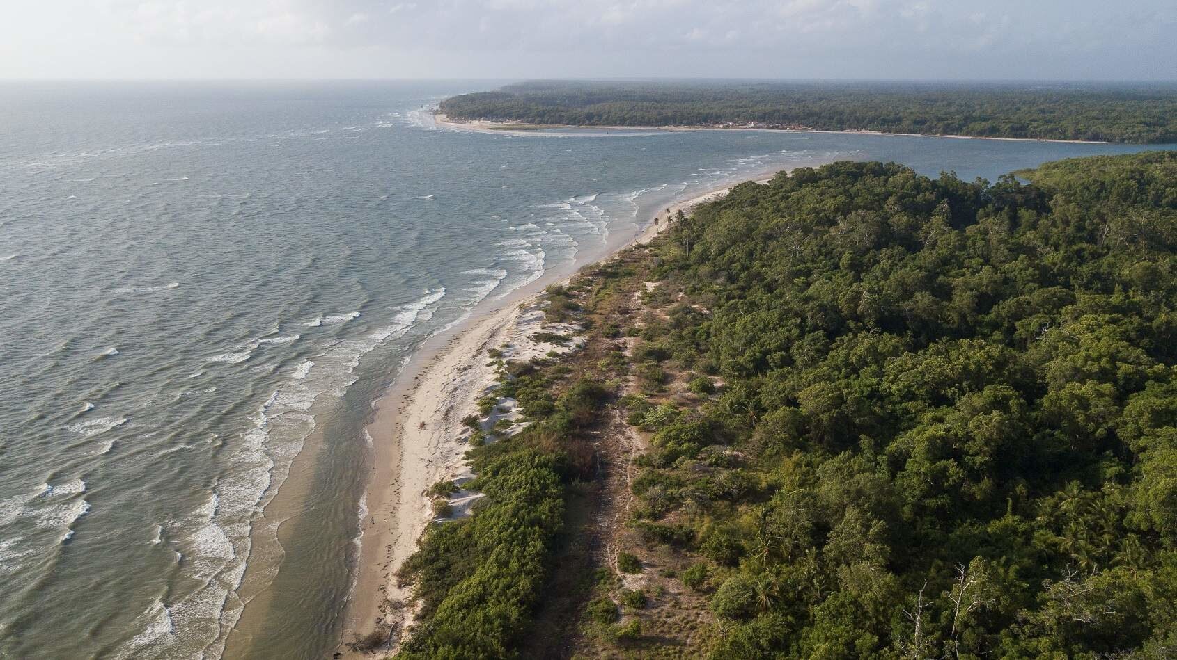
Habitat of a wide variety of fish and birds, the archipelago offers many activities in the midst of nature. Among them are the observation of guarás — a typical red-feathered bird —, fishing, the spotting of alligators and boat trips along the igarapés (narrow and shallow channels, only navigable by small boats). Adventure sports fans will also have fun in the area with jungle trekking, rafting and biking along the beaches.
Surprises are also present in the gastronomy, which has the buffalo meat as a great highlight. The most popular dishes are Filet Marajoara, served with melted buffalo mozzarella, and Frito do Vaqueiro. Also worth mentioning is the Caldo de Turu, a soup made from the typical mangrove shellfish; and the juicy Peixadas, a delicacy consisting of boiled fish and stew. For dessert, bet on exotic fruit ice creams such as uxi, bacuri, taperebá and cajarana.
Hottest month |
November (29 °C avg) |
|
Coldest month |
March (26 °C avg) |
|
Wettest month |
April (275.2 mm avg) |
|
Windiest month |
October (10 km/h avg) |
|
Annual precip. |
1383.9 mm (per year) |
Treat this trip as an expedition. The Jalapão region, in Tocantins, consists of a set of five conservation areas, including a state park, and is 34,000 km² big (larger than the states of Sergipe and Alagoas together).
The scenery is one of the most exuberant in Brazil: crystalline waterfalls, emerald green natural pools, plateaus and orange dunes up to 40 meters high. A true desert of waters, as the nickname given to the region suggests.
Part of the expedition will be to overcome the difficulty of access, since most of the roads are not paved — visiting with a 4×4 vehicle is highly recommended. Therefore, many people opt for packages of several days with a travel agency, which departs from Palmas and includes transport, meals, three or four overnight stays on a camping or hotel, and tours. Those who want to go on their own should stay in Ponte Alta do Tocantins or Mateiros and hire day trips.
One of the best destinations in Brazil for ecotourism lovers, Jalapão is still being discovered by travellers who like to explore new routes. Difficult access helps preserve the region, which still receives few tourists looking for the attractions of the Cerrado (Brazilian savanna). But whoever ventures on this trip will not regret it. Jalapão offers tourists: rivers with clear water and delicious waterfalls, such as Cachoeira da Velha and Cachoeira do Formiga; the rare phenomenon of "fervedouros", where deep springs transform into oases that allow visitors to float effortlessly; a set of golden dunes perfect for the sunset; and rock formations that seem to have come out of a sketchbook, so perfectly designed by nature, such as Serra do Espírito Santo and Pedra Furada. The hard part is getting to know everything in just one trip, so be prepared to come back soon.
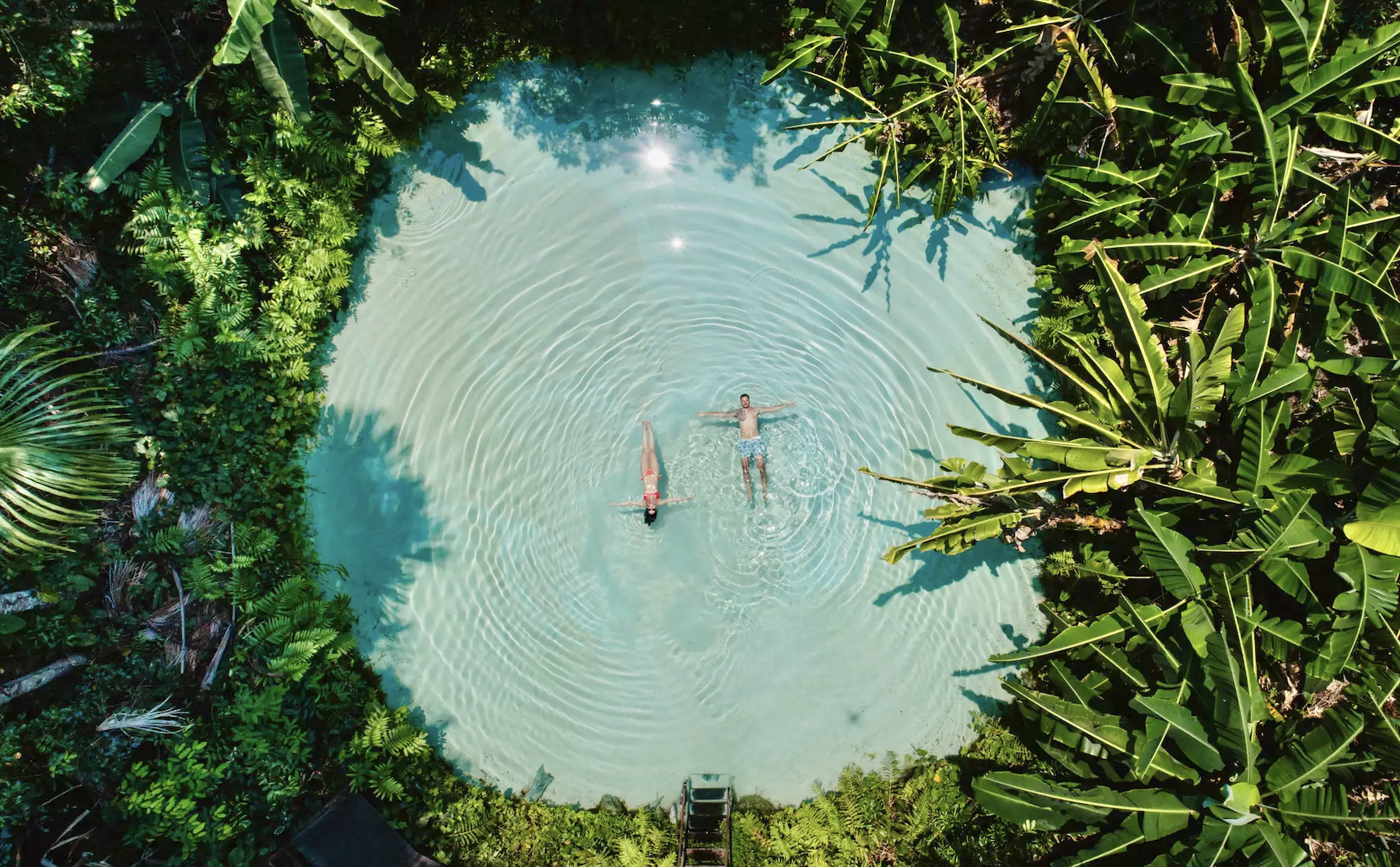
The phenomenon of "fervedouros" is unique and, precisely because of that, so special. When visiting Jalapão, be sure to experience the sensation of floating in one of the region's fervedouros: springs in the middle of the Tocantins savanna that originate from groundwater with so much pressure that people float in the water effortlessly. The sand suspended in the water gives the false impression that there is a bottom in the pool. Do not fool yourself! At points where spring water flows, it is impossible to touch the ground with your feet. It is estimated that there are fervedouros up to thirty meters deep. Despite the initial awkwardness of swimming in a "bottomless" pool, the experience is absolutely incredible. Among the most famous fervedouros are Fervedouro do Ceiça, the first that was discovered, and Fervedouro Bela Vista, considered the most beautiful in the region.
Considered one of the largest river source of fresh drinking water in the world, the Rio Novo crosses the path of tourists in various parts of Jalapão. Take the opportunity to enjoy the place in various ways, whether on a white sand beach by the river, enjoying the view of the magnificent Cachoeira da Velha, or in an exciting rafting or kayaking ride down the rapids. The important thing is not to forget to experience the clear and refreshing waters of the Rio Novo whenever possible.
Hottest month |
September (29 °C avg) |
|
Coldest month |
July (25 °C avg) |
|
Wettest month |
January (153.7 mm avg) |
|
Windiest month |
August (13 km/h avg) |
|
Annual precip. |
837.7 mm (per year) |
Capitals such as Florianópolis, Fortaleza, Belo Horizonte and Salvador are already established destinations on the route of tourists travelling through the country. However, Brazil is privileged with many destinations whose tourist potential is unlimited, but which do not enter the traveller's itinerary due to lack of information or difficult access.
Boa Vista, capital of Roraima, is a charming destination, but which is usually not on the minds of Brazilians when it comes to tourism, less even for international tourism. However, this place has a lot of history and landscapes that will leave you speechless. The list includes river beaches, igarapés (narrow and shallow channels, only navigable by small boats), ecotourism, adventure tourism, horse riding and fishing.
Without a doubt, the best surprise on your visit to Boa Vista will be Lago do Robertinho (Robertinho lake): a natural lake with clear waters and several attractions such as ziplining, banana boat riding and stand up padle, accompanied by some nice self service and a la carte restaurants.
Lago do Robertinho is the best known of all bathing spots in Roraima, located at almost 50 kilometer from the city of Boa Vista. The lake is made out of rainwater in greenish blue tones which looks a lot like the famous beach of Jericoacoara in Ceará. People from the region and even Manaus, the capital of the Amazon, love this place because of its beauty and the different color of the water.
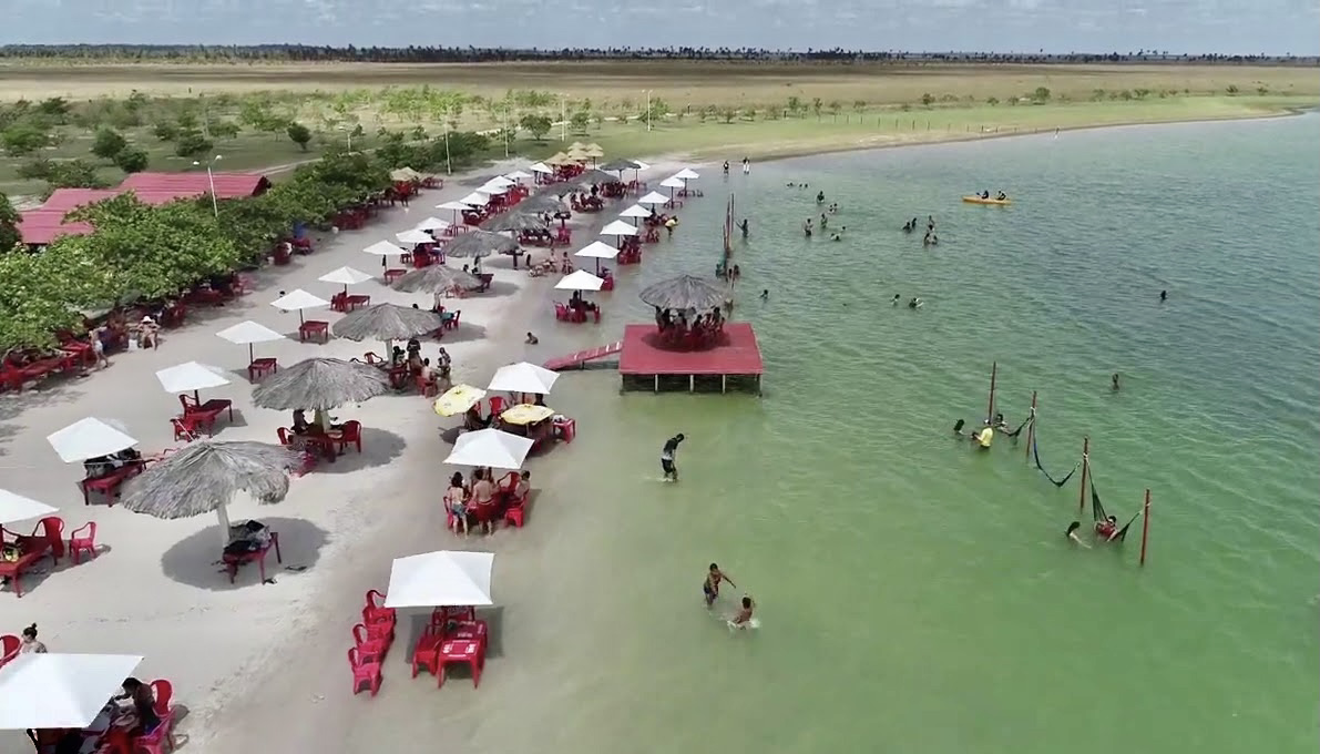
The restaurants at the lake offer a varied menu, which includes typical foods from the region such as fish, including tambaqui and dorado. The lake also offers the opportunity to stay overnight in one of the chalets near the water.
Hottest month |
October (29 °C avg) |
|
Coldest month |
July (26 °C avg) |
|
Wettest month |
July (141.4 mm avg) |
|
Windiest month |
February (18 km/h avg) |
|
Annual precip. |
792.4 mm (per year) |
Starting point for exciting tours that unveil the Amazon rainforest, Manaus has a lot to offer tourists who come there eager for an intimate contact with the exotic sceneries they have seen in TV documentaries. The basic program is also the most famous: the boat tour to the meeting of the Negro and Solimões rivers, which run side by side for six kilometers without the waters mixing.
Getting to know Manaus is to be dazzled by the surprises of a unique region, where nature imposes unquestionable sovereignty. Famous for the biodiversity of the Amazon rainforest, with rivers full of fish and forests where animals rule, the capital of Manaus involves many surprises. There are those who travel to the city just in search of contact with nature, but Manaus and its surroundings have much more to offer than fauna and flora.
To get to know Manaus, it's good to start with a tour around the Historic Center. Located in the heart of the city and draws attention for its architecture and vibrant colors of the buildings. The old buildings and mansions date from the 19th century and contrast with the recent buildings. Take advantage of the fact that you are already in the Historic Center to discover the most beautiful theater in the city. The Teatro Amazonas is the main cultural and architectural symbol of the State. It keeps alive much of the history of the rubber cycle, the golden age of the Amazonian capital. Inaugurated in 1896, the theater surprises and enchants with its imposing appearance.
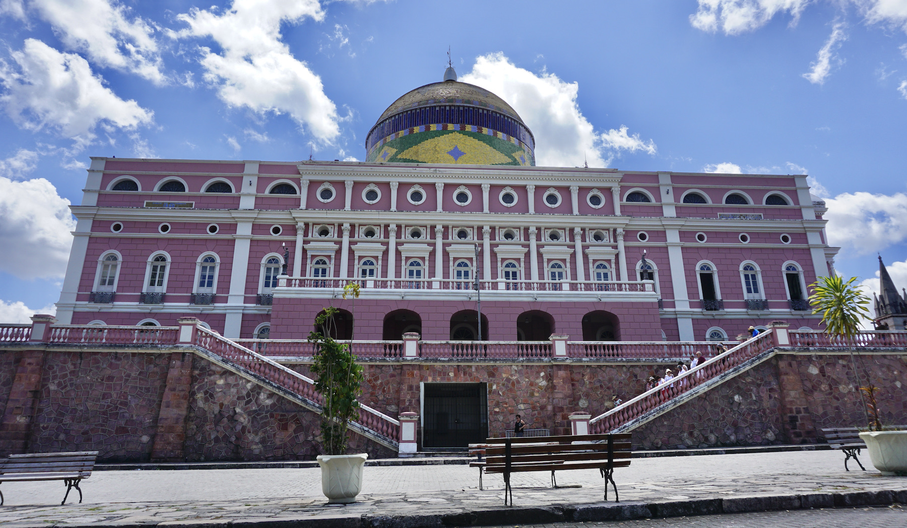
An isolated beachfront in the center of Manaus, the Ponta Negra neighborhood is the most refined in the capital, with a completely revitalized beachfront avenue that turns into a busy boulevard on weekends. The classic program there is to watch the sun setting on the Rio Negro – for a privileged view, look for the viewpoint on the boulevard. Best accompanied by a cone from a local ice cream shop, with typical Amazon flavors such as tucumã.
From the plane, upon arrival in Manaus, you can already see the contrast of the meeting between the Negro and Solimões Rivers, which form the extensive Amazon River. But it's when you take the boat ride and arrive up close where you can see the blue and brown waters flowing side by side without mixing and realize the difference in density, speed and temperature between the two rivers — the water temperature varies up to eight degrees.
Hottest month |
September (31 °C avg) |
|
Coldest month |
March (26 °C avg) |
|
Wettest month |
March (325.4 mm avg) |
|
Windiest month |
September (5 km/h avg) |
|
Annual precip. |
1815.4 mm (per year) |
On the triple border between Brazil, Venezuela and Guyana, the plateau that houses the top of Mount Roraima is one of the highest points in the country, at an altitude of 2,734 meters. The scenery enchants tourists and scientists with large cliffs, waterfalls, lakes, curious rock formations and endemic plant and animal species, such as carnivorous plants and a frog the size of a fingernail.
Mount Roraima is a tepui, a type of mountainous formation in the shape of a table, characteristic to the Guyana plateau. Bordered by cliffs about 1,000 meters high, its plateau presents a unique environment, completely different from the tropical forest and savanna that extends at the foot of the mountain.
The ascent to Mount Roraima is a goal for every trekker. Its peculiar formation, mysteries and stories make trekking to Mount Roraima an incredible and unforgettable experience. Conquering Mount Roraima is one of the richest and most beautiful trekking expeditions in the world.
To get there you need quite some time on your disposal, it takes three days just to get to the top and two days to get back. Expeditions are at least six days and camping is required along the way.
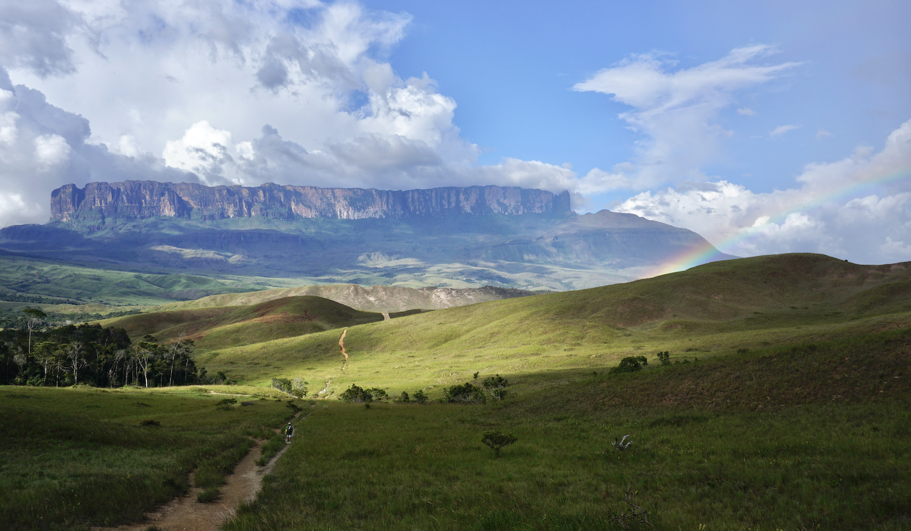
The trek is long, with some climbs, but mostly flat. It also crosses some rivers along the way. On average, you walk ten kilometers a day, stopping on the way to rest. You can walk leisurely, at your own pace. The last stage is a four kilometer steep climb, along a trail in the middle of the forest.
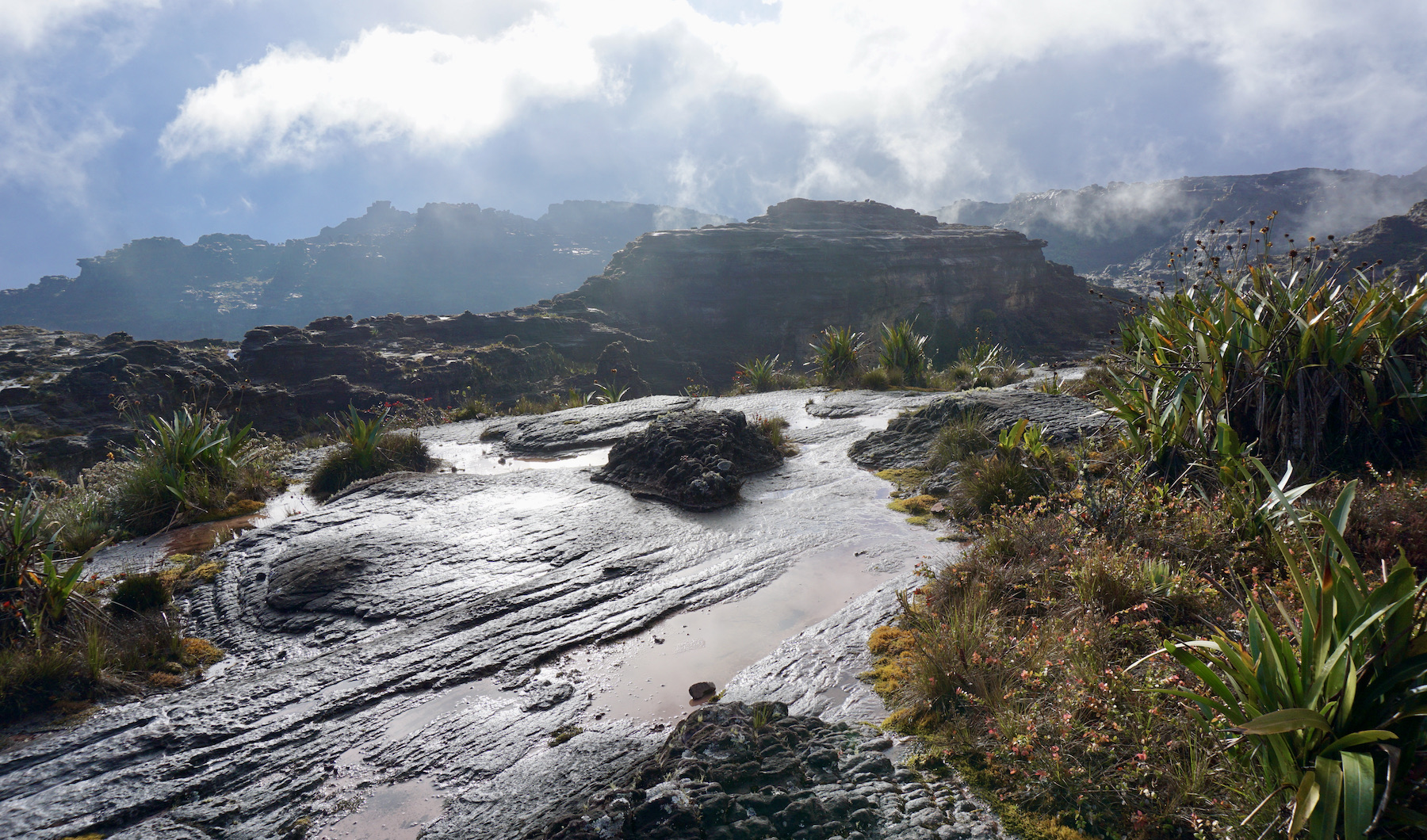
The top resembles the moon surface, with unusual rock formations, a very irregular land, full of stones and ponds. Among the attractions at the top are some waterfalls, natural jacuzzis, several viewpoints such as La Ventana, Abismo and Maverick, and the triple border landmark.
Hottest month |
October (22 °C avg) |
|
Coldest month |
July (21 °C avg) |
|
Wettest month |
August (124.7 mm avg) |
|
Windiest month |
March (7 km/h avg) |
|
Annual precip. |
792.3 mm (per year) |
Parintins, part of the Tupinambaranas Islands archipelago, is an Amazonian municipality located 369 kilometers from Manaus, capital of the Amazon state. For three days a year, the city becomes the stage for one of the biggest cultural events in the country: the Parintins Folklore Festival.
The presentations take place in an arena and the themes are always aimed at preserving the folklore and cultural diversity of the people of the Amazon. Indigenous-influenced dances, characters, costumes and parade cars tell the story of the boi-bumbá and the daily lives of the region's inhabitants – 21 items, such as the participation of the fans, are evaluated by the judges.
Despite being focused on the festival, the city has other tourist spots that are still unexplored. The city has lakes with incredible scenery, historic buildings, craft fairs and very busy squares.
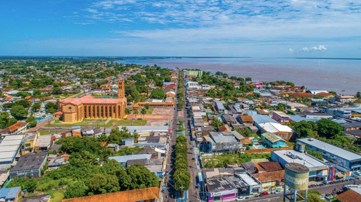
The Cathedral of Nossa Senhora do Carmo, patron saint of the city, was inaugurated in 1981, and mixes history, faith and culture. The plans for construction of the Amazon sanctuary began in 1958, but it was only in 1961 that the religious temple, designed in Italy, was built. The Parintins Folklore Festival was created to raise funds for the completion of the work on the cathedral. The largest temple of faith in Parintins attracts pilgrims from the 6th to the 16th of July, in the festivities of Nossa Senhora (Our Lady).
One of the most enjoyable trips in Parintins, without a doubt, is the tricycle, a characteristic means of transport in Parintins. On a covered bicycle, the tourist enjoys the sights of the city.
Hottest month |
October (32 °C avg) |
|
Coldest month |
March (27 °C avg) |
|
Wettest month |
March (239.7 mm avg) |
|
Windiest month |
September (8 km/h avg) |
|
Annual precip. |
1555.3 mm (per year) |
Located in the Amazon, Presidente Figueiredo is a true paradise in Northern Brazil. With many beautyful sceneries, ecological trails and incredible waterfalls, this city is the ideal destination for those who love nature.
The municipality of Presidente Figueiredo is known as the “Land of Waterfalls”. What made Presidente Figueiredo emerge for ecological tourism was its abundance of water, jungle, natural resources, caves and waterfalls. The Ministry of Tourism has cataloged more than one hundred waterfalls in the municipality, many of them reachable through ecotourism.
Perhaps the best known attraction in Presidente Figueiredo is the Cachoeira do Santuário, the attraction with the best tourist infrastructure. it is part of the ecological reserve of the same name and, in addition to the waterfall, the space also has chalets, swimming pools and a restaurant. The Cachoeira da Iracema complex also reveals several interesting rock formations, such as the Palácio do Galo da Serra. To get to the waterfall it is necessary to make a trail through the woods with easy access.
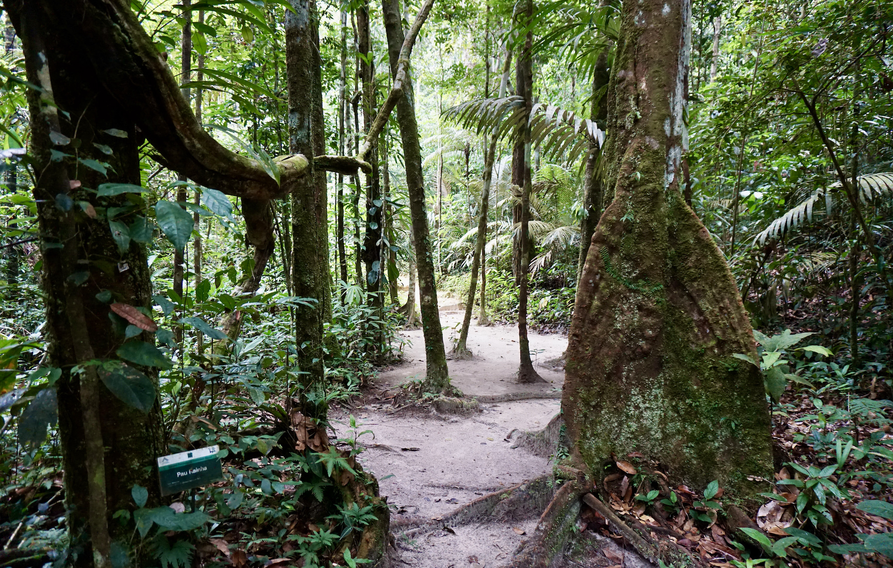
The Gruta da Judéia is one of the most fascinating places in Presidente Figueiredo. Located within an environmental protection area, the waterfall can only be visited with the presence of a tourist guide. The place impresses with its gigantic entrance carved out of rocks bathed by a waterfall. The trail is marked and very quiet, and you can discover the whole attraction in about two hours.
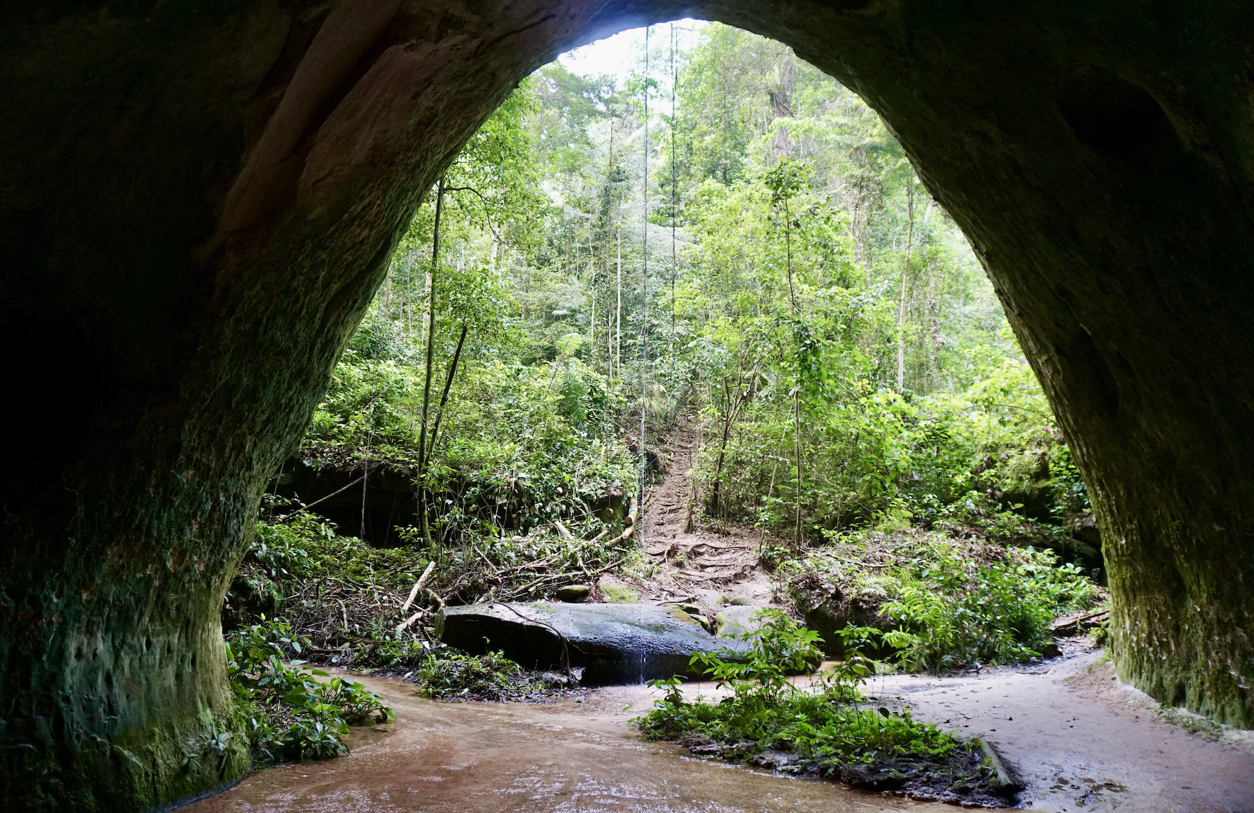
One of the most beautiful waterfalls in Presidente Figueiredo, Cachoeira da Neblina, provides an incredible contact with nature. The access trail is not as easy, there is about six kilometer of passable trail to cover in dense forest. In addition to the beauty of the waterfall, which is quite a reward, the jungle path is wonderful! There are many sounds, birds, plants, trees and the beauty of the forest.
Hottest month |
September (30 °C avg) |
|
Coldest month |
April (26 °C avg) |
|
Wettest month |
April (326.4 mm avg) |
|
Windiest month |
September (5 km/h avg) |
|
Annual precip. |
1855.4 mm (per year) |
Salinópolis, also called Salinas, located in the state of Pará, is a city famous for its rivers and fresh water beaches. Salinas lies at the entrance of the “Atlantic Amazon”, a mangrove swamp with the natural beauty of ocean beaches. The city has several tourist attractions, such as the deserted beaches in Vila de Cuiarana, the Coca-Cola lake, the Maçarico waterfront, the mineral water source of Caranã, streams and sand dunes. Because of its countless beaches, Salinópolis is a paradise for surfing and water sports lovers.
Salinópolis is one of the favorite resorts of the local population, especially Belem, which fill the city in July. The beaches have fine white sand, with grayish-green waters, due to the sediments carried by the Amazon river. At Ilha do Atalaia, located 12 kilometer from the city center, are the Atalaia and Farol Velho beaches, which together are more than 20 kilometers long.
The islands around Salinas are a nice option for a tour. In these places, the highlights are the lush and unspoiled landscapes, and the rich fauna and flora, in addition to the tranquility they offer. The nearest islands are home to Praia Marieta (Ilha do Marco) and Praia de Maria Baixinha (Ilha de Itaranajá). Another alternative is Ilha do Pilão, with practically deserted beaches.
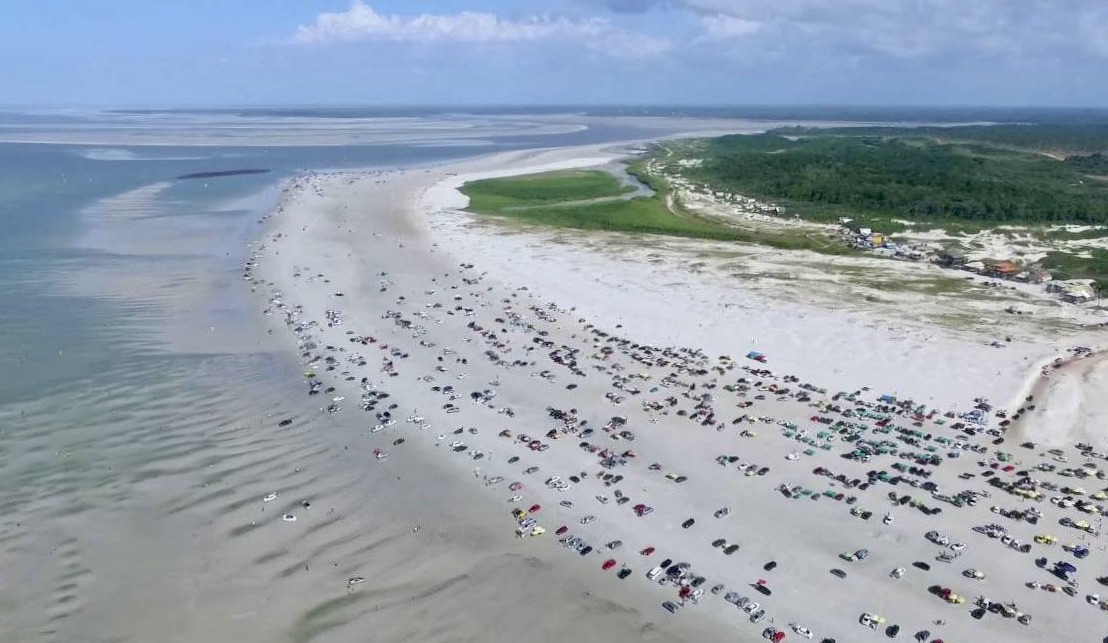
Atalaia Beach is about 20 kilometers long and is the best known and frequented beach by both residents and visitors. Along its beachfront, it has a wide range of food establishments. The great variation of the tide at Atalaia beach means that large extensions of firm sand are visible during low tide, which makes cars and even regular buses travel on the sand. Due to the wide strip of sand on the beach during part of the day, residents and visitors usually spend the day at tables next to their cars.
Hottest month |
November (28 °C avg) |
|
Coldest month |
March (25 °C avg) |
|
Wettest month |
April (313.7 mm avg) |
|
Windiest month |
October (17 km/h avg) |
|
Annual precip. |
1483.3 mm (per year) |
Santarém is located in the middle of the river route of the Amazon river, between Belém and Manaus. This destination offers beautiful tourist attractions, included by the biodiversity of the Amazon, with areas of tropical forest, large rivers, igapós (swamp forests) and savanna.
The main tourist attractions in Santarém are: Alter do Chão (which was once considered the most beautiful river beach in the world) and the "encontro das aguas"; the meeting of the blue waters of the Tapajós river with the muddy waters of the Amazon river.
The most pleasant area of the city is the riverside promenade, where the Fluvial Touristic Terminal is located. There it is possible to buy handicrafts and hire boat trips. The pier has tables, set up by snack bars, which are great for enjoying the sunset.
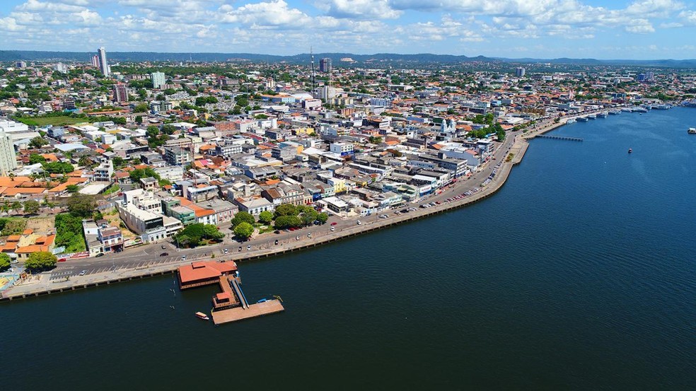
Like Manaus, Santarém also has its meeting of the rivers. The city is located at the mouth of the Tapajós river, where its blue waters join the muddy waters of the Amazon river. This phenomenon can be seen from the viewpoint close to the shore or through boat trips, which depart from the Fluvial Touristic Terminal daily. On this tour, the visitor also gets to know several channels of the Amazon river, such as the Igarapé dos Padres and the Igarapé Açu.
Another tour option is the Tapajós National Forest, a preserved area where you can see natural stretches of the Amazon forest with gigantic trees like the Sumaúma (one of the most extraordinary trees in the Amazon that can reach up to 70 meters in height), among many other species. In addition to the forest, the area has riverside land with its igapós and lakes, where you can spot alligators and birds.
Hottest month |
October (31 °C avg) |
|
Coldest month |
April (27 °C avg) |
|
Wettest month |
January (158.0 mm avg) |
|
Windiest month |
October (10 km/h avg) |
|
Annual precip. |
929.1 mm (per year) |
Bonito is simply the best destination for river diving in Brazil. In the crystalline spring of the Baía Bonita river, which forms the Aquário Natural (natural aquarium), or in the light current of the Sucuri river, you swim side by side with several species of colorful fish.
It's a typical "family trip", but that doesn't mean that the destination doesn't have a lot of adventure – there are boat trips down the rapids, rafting, scuba diving and even rappel down the incredible Abismo Anhumas, one of the largest underwater caves in the country.
Concern for the environment around here is taken seriously. The area is so untouched, that is seems that many of the city's attractions were discovered recently.
The diversity of tours in Bonito is enormous! They are the main attraction of the city and all have to be scheduled, always accompanied by a guide. The city's organization in relation to its activities ensures that all tours in Bonito have a maximum number of visitors, which contributes to the preservation of the area.
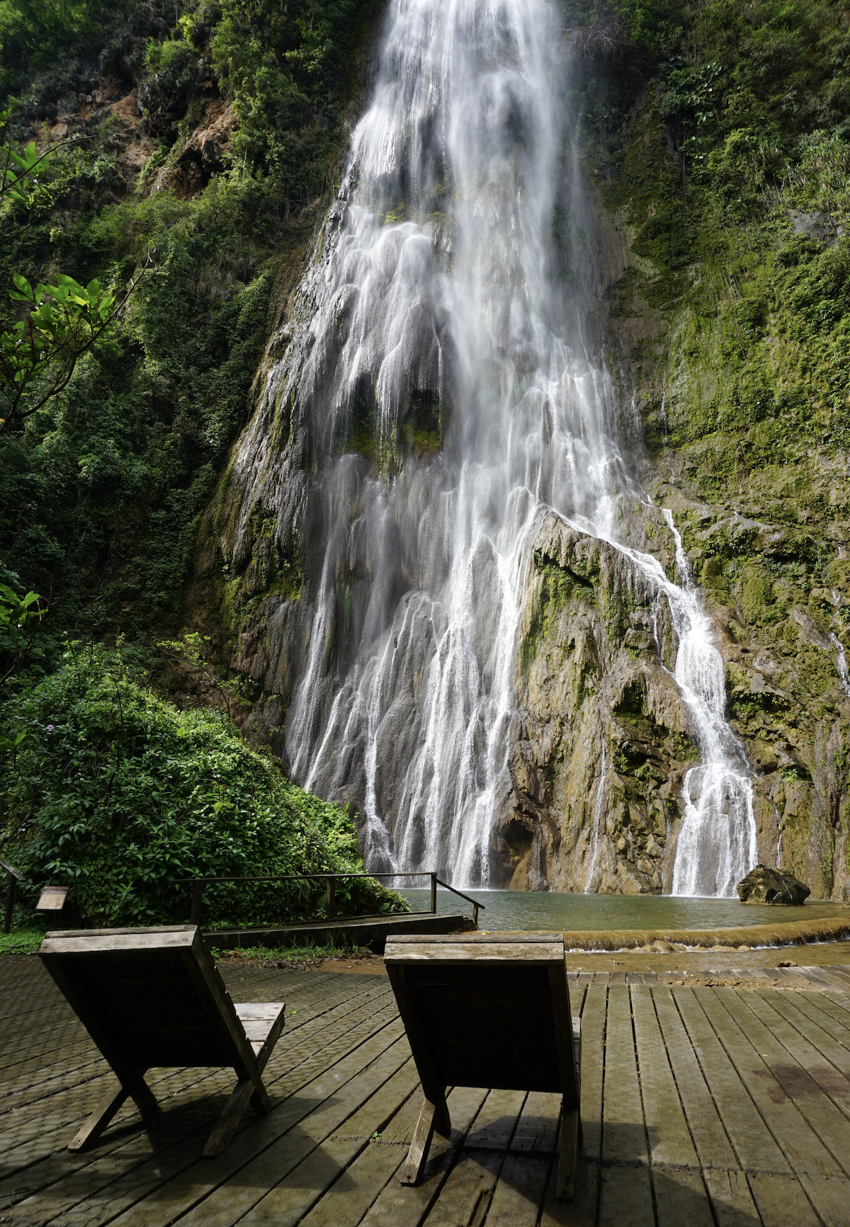
Floating on the river of Rio da Prata, the Nascente Azul, the Natural Aquarium or the Rio Sucuri – considered one of the most transparent in the world – are some of the unmissable tours in Bonito. Visiting at least one cave, such as the Gruta do Lago Azul, and a waterfall park, is also a must. For those who like trails and waterfalls, a great excursion is the Boca da Onça tour, which combines the two activities. Bonito's fresh and clear waters are always an invitation to dive in, where animals live free and display their natural aquarium for those who want to admire.
If you like adventure, take the risk of rappelling down the Abismo Anhumas or floating on the Lagoa Misteriosa, surrounded by a lot of mystery because until today the bottom of the lake is unknown. There is no lack of tours in Bonito to fill your travel days... it is difficult to choose which ones to do, as the city really has many options.
Hottest month |
October (28 °C avg) |
|
Coldest month |
July (22 °C avg) |
|
Wettest month |
January (106.0 mm avg) |
|
Windiest month |
September (11 km/h avg) |
|
Annual precip. |
637.9 mm (per year) |
The city of Brasília was built in 1960, when former president Juscelino Kubitschek decided to build a planned city in the middle of nowhere. This is how Brasília was born, in the middle of the Cerrado (Brazilian savanna) of the Planalto Central, to be the Brazilian capital, with wide avenues, parks and extensive green areas.
The buildings stand out for their modernism, full of surprising curves and angles. The main monuments and differentiated buildings are found on the Monumental Axis, which is one large avenue, and therefore very easy to visit in sequence. And the climate also helps: with well-defined seasons, free from rain for a long period of the year, the practice of outdoor leisure activities in its parks and leisure areas is common for its inhabitants and visitors.
The concentration of monuments and tourist attractions on the same avenue gives tourists who arrive in Brasília the impression of getting to know it in a short time. Do not fool yourself! The capital is much more than the monuments of the Monumental Axis.
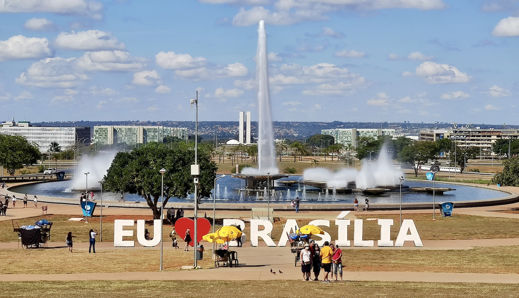
If you only have a few hours to visit the city, you'll leave with pictures that will make anyone believe you've known it intimately. In one hour it is possible to circulate throughout the Monumental Axis: National Congress, Itamaraty Palace, Metropolitan Cathedral, Planalto Palace, Três Poderes Square, Museum of the Republic, TV Tower and the JK Memorial will make a beautiful photo album. But will it be enough?
The tour along the banks of Lake Paranoá attracts hundreds of visitors on weekends. The space has beautiful gardens, restaurants and decks that allow you to see a sensational sunset. A great trip for anyone who has the afternoon to relax outdoors. On weekends it is common to find fairs and sporting events in the area. Choose your favorite bar or restaurant and sit by the lake for a beautiful late afternoon.
Hottest month |
October (24 °C avg) |
|
Coldest month |
July (20 °C avg) |
|
Wettest month |
December (334.1 mm avg) |
|
Windiest month |
September (12 km/h avg) |
|
Annual precip. |
1434.9 mm (per year) |
The combination of hot water and ample leisure infrastructure has transformed Caldas Novas and its neighbor, Rio Quente, into one of the main tourist centers in Brazil. Hotels, theme parks and resorts in both cities exploit swimming pools and naturally heated water sources (37-70°C), enhanced by recreational activities, which attract millions of tourists every year.
The water supplies in Caldas Novas and Rio Quente are the big reason for the place to succeed – After you spend five minutes enjoying a dip in the comfort of a warm pool without feeling like going out, you can understand why the place has become a great success. Couples, elderly and mainly families with children love the place. Caldas Novas and Rio Quente are destinations for distinct audiences, but who have a common desire: relax and have fun.
Among the most popular spots is the Hot Park water park, which is located in the Rio Quente Resorts amusement complex and has attractions such as radical water slides and even an artificial beach – on which it is even possible to learn to surf. All this in the middle of the Cerrado (the Brazilian savanna), 1,000 kilometers from the ocean. It is a unique destination, capable of delighting children and rejuvenating the elderly.
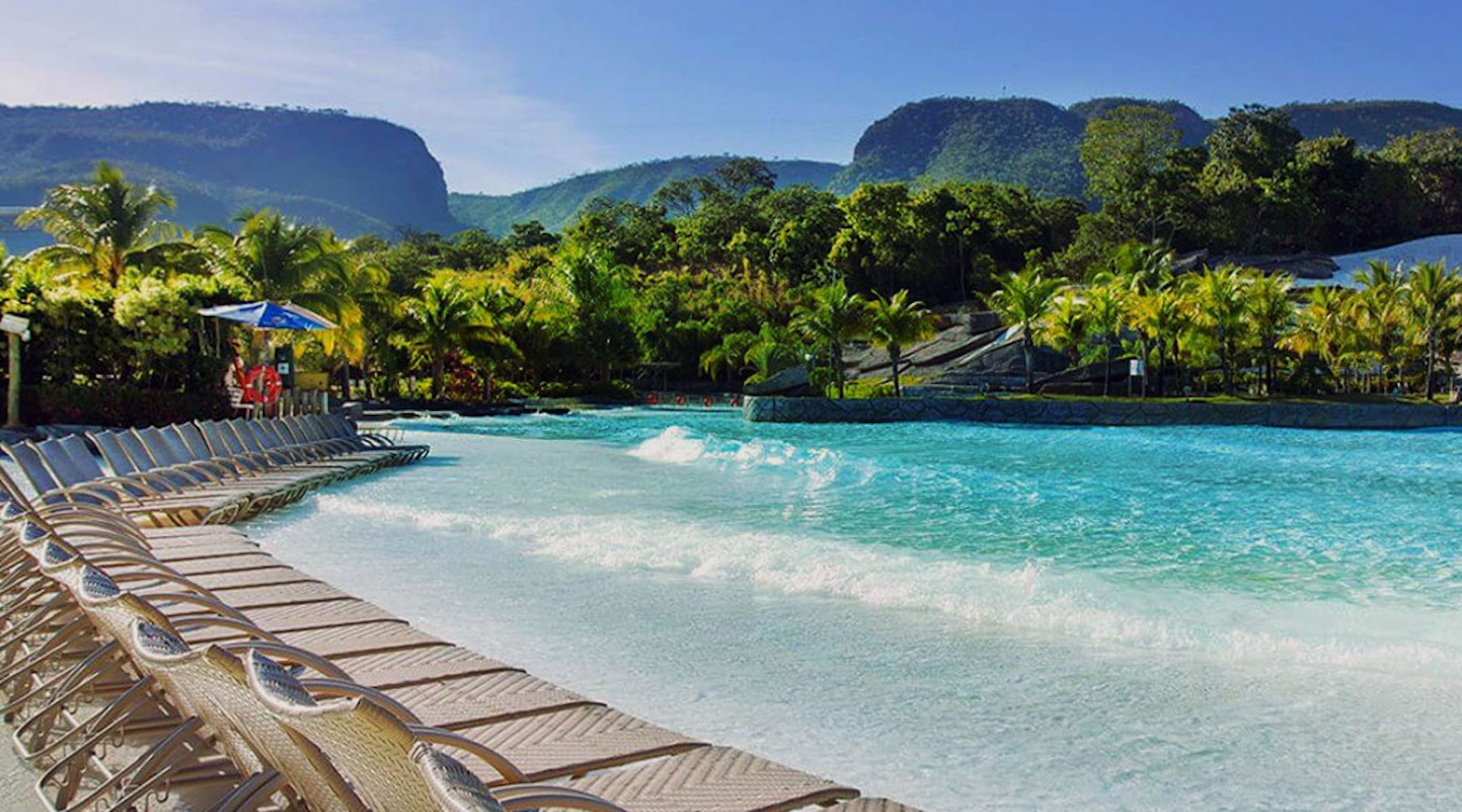
In the city of Caldas Novas itself, there are several condominiums, which give access to small and large water parks. The Di Roma chain, which has the Di Roma Acqua Park, and the Privé chain are among the largest in the city. The day-to-day life of those visiting the region usually takes place in the hotel or rented condominium, whether enjoying their swimming pools or having a meal, and that is why it is important to choose accommodation carefully. If on some trips the focus is to walk around the city, in Caldas and Rio Quente the traditional program is to relax in the water.
The city has a center with options for bars, restaurants and small shops to buy souvenirs. It also hosts concerts by major national artists – mainly country music – and is a paradise for those with small children. Caldas Novas is a city that lives on the water that is "born" from the ground!
Hottest month |
September (26 °C avg) |
|
Coldest month |
July (20 °C avg) |
|
Wettest month |
January (183.5 mm avg) |
|
Windiest month |
September (13 km/h avg) |
|
Annual precip. |
944.3 mm (per year) |
Stunning red-orange sandstone walls – Trademarks of the Chapada dos Guimarães – welcome the tourists who visit the city, just 69 kilometer from the capital Cuiabá. Gateway to the National Park, the town that carries the same name as the reserve, offers comfortable inns and cozy restaurants.
11 kilometers from the center of the village, the park occupies an area of 33,000 hectares. This perfect setting combines savanna, waterfalls and canyons, as well as rock paintings and formations that satisfy the eyes of ecotourists.
The many trails, ventured on foot or bike, lead to natural viewpoints that uncover mountainous masses and, on clear days, reveal the Pantaneira plain and the capital city Cuiabá.
Get ready for unforgettable days in the middle of nature! There is a lot to see and do in Chapada dos Guimarães. The Cachoeira dos Namorados and Cachoeirinha waterfalls have an easy access, which is on the same route as the Véu de Noiva viewpoint – the most famous attraction of the park. The trail is self-guided and has a length of 1,300 meters.
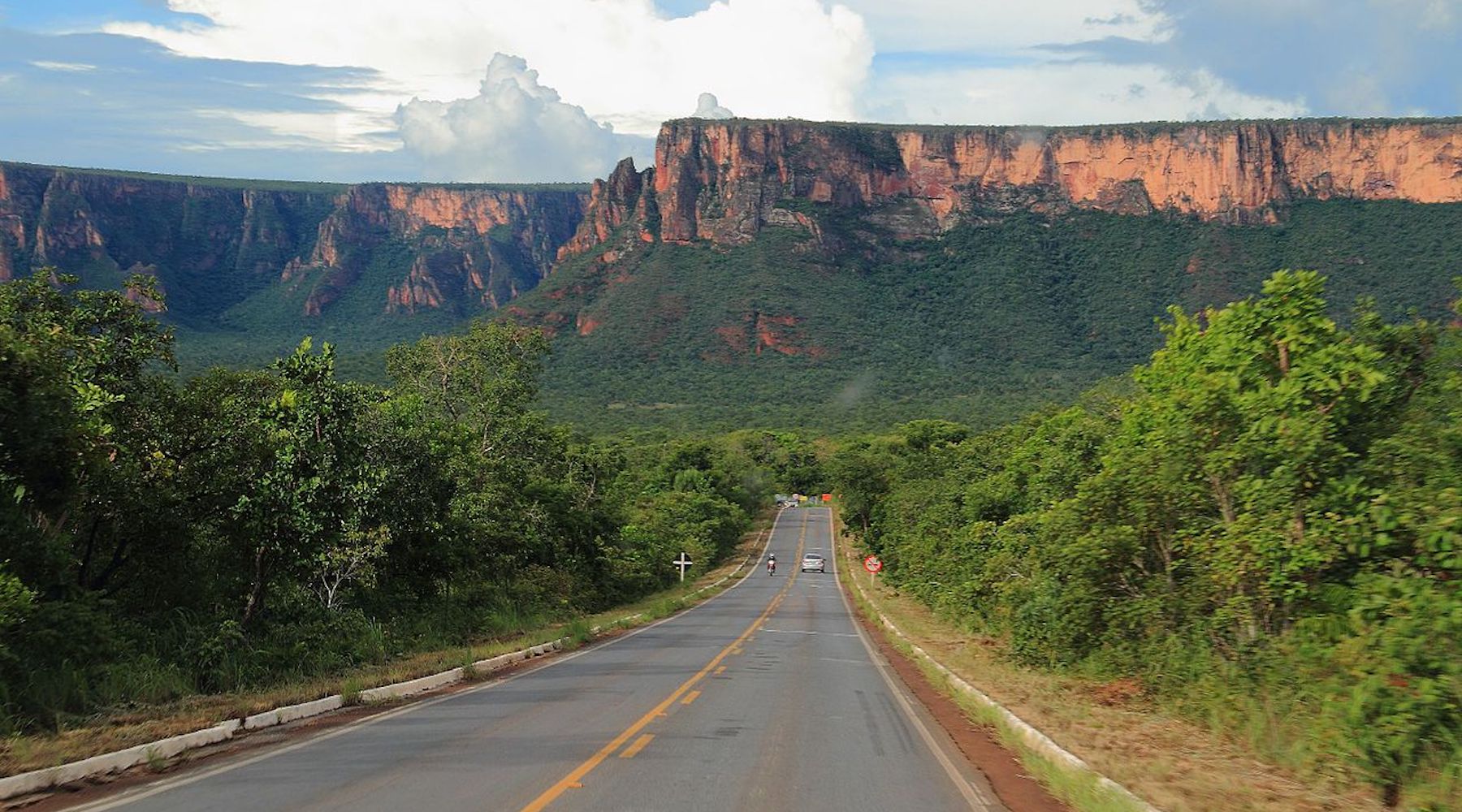
The Waterfall Circuit (Circuito das Cachoeiras) is the perfect tour for those who love waterfalls. It is a trail of about six kilometers (round trip) that can be done in about six hours of walking with a stop at six waterfalls (7 de September, Pulo, Degraus, Prainha, Andorinhas and Independência) and two natural pools.
One of the most incredible views of Chapada dos Guimarães is found at the top of the São Jerônimo hill, which is one of the highest points in the National Park. For this tour it is necessary to have physical resistance: a hard walk of five to six hours, including climbs, descents and a small stretch of climbing.
Hottest month |
September (27 °C avg) |
|
Coldest month |
June (22 °C avg) |
|
Wettest month |
February (190.0 mm avg) |
|
Windiest month |
October (10 km/h avg) |
|
Annual precip. |
841.6 mm (per year) |
Located on top of a gigantic quartz stone in the interior of Goiás, Chapada dos Veadeiros is one of the most interesting sights in the country. In addition to the fantastic waterfalls, the beauty of the Brazilian savanna and being the best place in Brazil to observe the sky, the Chapada dos Veadeiros is, above all, mystical. Just pay attention upon arrival at the entrance of Alto Paraíso, the base-city for visitors: there is a gigantic portal that resembles a spaceship and often there are sellers specialized in the trade of extraterrestrial sculptures.
There is even a small airport for UFOs and, according to the locals, there is a traffic of unidentified flying objects above the place. To further increase the mystical atmosphere, the region is in the same latitude as Machu Picchu, which would be responsible for a special energy.
Believing or not in the mysticism, Chapada dos Veadeiros is a very interesting destination for tourism. The trails to the most famous waterfalls are well signposted, adventure tourism is poupular in the region and there is a good infrastructure to receive visitors.
The waterfalls are the great attraction of the Chapada dos Veadeiros National Park and it's worth taking a bath in each one of them. The Santa Bárbara waterfall has become one of the most famous in the area, but there are many different options that are worth entering the script, among them the Saltos do Rio Preto and Cachoeira das Cariocas waterfalls. Outside the main circuit of the park, it is worth checking places like: Cachoeira do Segredo, Cachoeiras Almécegas I and II, the always incredible Vale da Lua, Catarata dos Couros, Cachoeiras do Prata and many others.
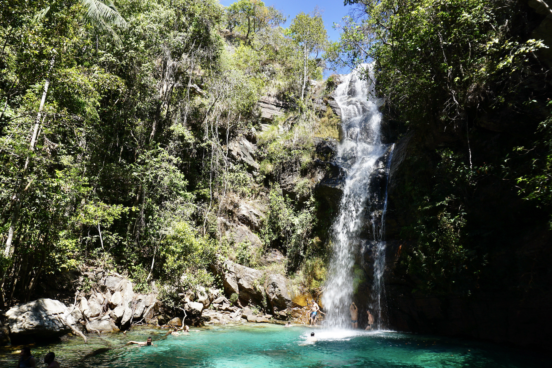
With several self-guided trails, the park pleases especially travellers who prefer independent tourism. It will almost always be possible to reach the waterfalls without hiring guides or tourism agencies, which makes the trip cheaper and more intimate. But if you're not made for the explorer life, do not worry! It will be easy to hire a guide to go on tours in the region. It is worth saying that most of the attractions have paid access, but the values are accessible and do not weigh heavy on your budget. To start off with a beautiful path, try the trail of the Mirante da Janela (window viewpoint).
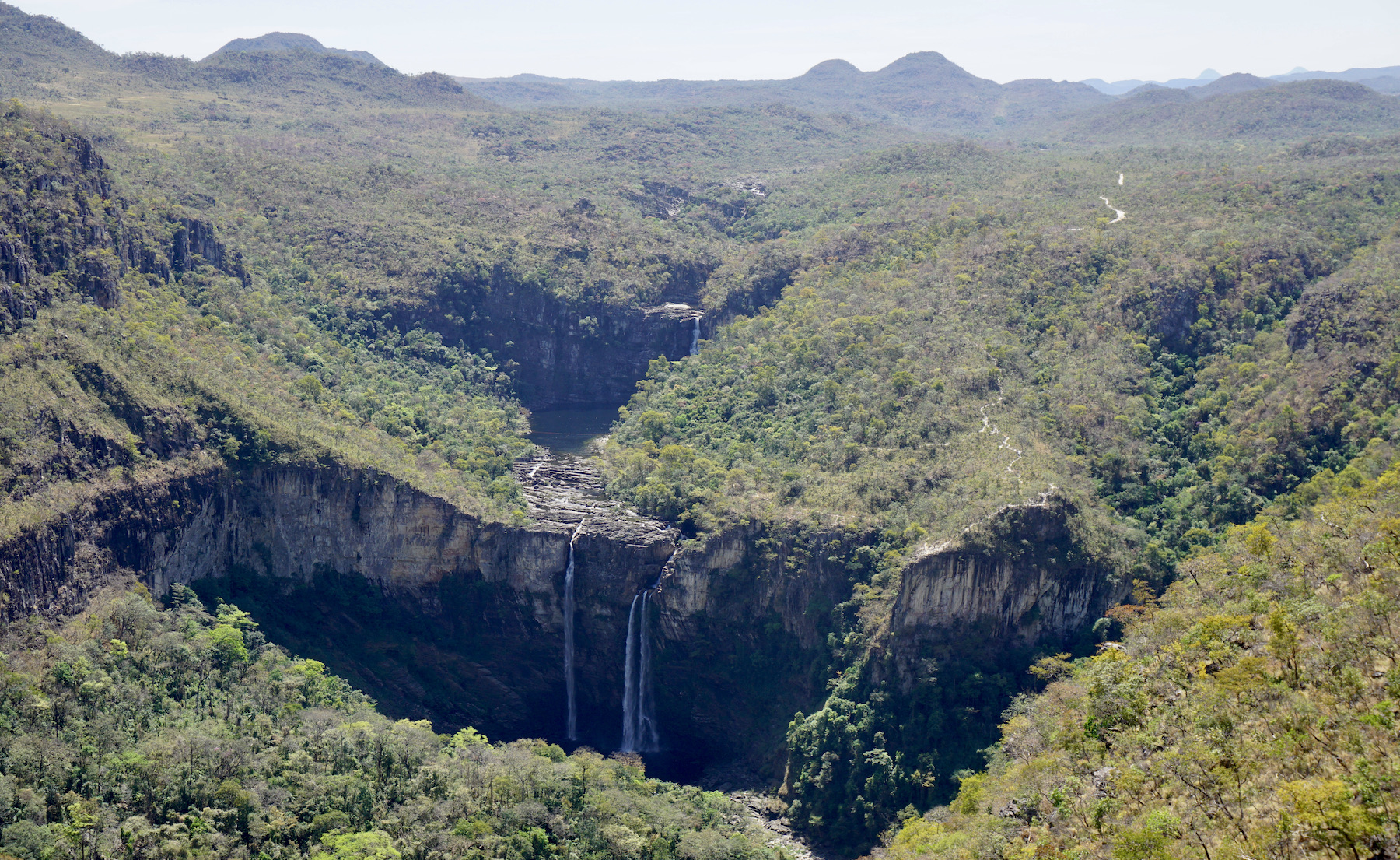
In addition to the invigorating cold waterfall baths, Chapada dos Veadeiros also offers other spectacular experiences, such as a late afternoon in the Jardim de Maytrea, bathing in the natural pools of thermal waters, and, for the most alternative, a wide variety of mystical and holistic treatments. Not to mention the delicious nights between the bars, restaurants and fairs of the villages of São Jorge and Alto Paraíso. The Chapada dos Veadeiros is a place to enjoy without haste and where there's always a good exchange of energy.
Hottest month |
September (26 °C avg) |
|
Coldest month |
July (19 °C avg) |
|
Wettest month |
December (288.3 mm avg) |
|
Windiest month |
August (13 km/h avg) |
|
Annual precip. |
1485.1 mm (per year) |
Formosa is a city in Goiás that is the dream of every traveller who enjoys adventure. With the best of the Brazilian savanna, it is possible to find a lot of natural beauty in this region in the form of waterfalls, wells and caves. If what you seek is an exciting trip, you'll find it here; a place to do trails, rapel and diving.
Formosa is known as the "cradle of the waters". There are 16 waterfalls, dozens of springs (36 only in the Paranã Valley) and rivers that run to the Amazon basins, São Francisco and Paraná. The old Arraial dos Couros, as the city was called at its origin, also attracts visitors to the practice of nautical sports. Among many lagoons, the Lagoa Feia (very beautiful by the way) is one of the highlights with six kilometers of extension. Radical activities are practiced on the free flight ramp of the Paranã Valley (1,300 meters high), as well as hiking along archaeological sites, cliffs and descents in about 30 different caves.
The Salto do Itiquira waterfall is perhaps the most sought after attraction of Formosa, because it is the seventh highest waterfall in Brazil, with approximately 168 meters high. It is not possible to enjoy the waters just below the main drop because of security. However, there are several small waterfalls formed by the main fall, where it is possible to enter and enjoy a bath.
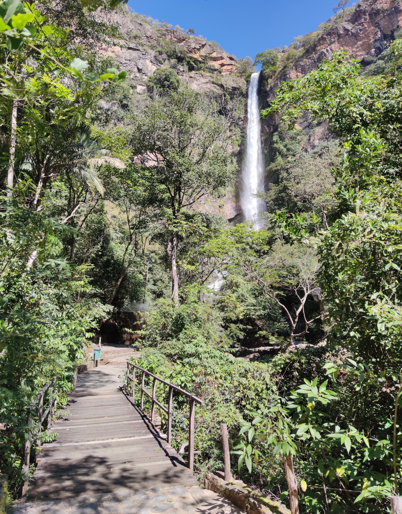
Buraco das Araras is a beautiful place that serves as shelter for birds, as the name indicates, as well as being a destination for adventurous travellers. The attraction is basically a crater of one kilometer in diameter and 95 meters deep. In this place it is possible to descent by rapel, besides watching the beautiful macaws that fly over the crater. For safety, this is an adventure that needs a guide.
With easy access through a trail of about one kilometer, Indaiá waterfall is ideal for anyone looking for a beautiful place to enjoy and relax. This waterfall has a drop of 15 meters high and an ideal pool for bathing. In addition, Indaiá is relatively close to other falls in Formosa, such as the Véu da Noiva and Salto do Itiquira.
The Buraco das Andorinhas is a cave of 200 meters deep – one of Formosa's most famous adventures. To get there, you have to hike a trail considered difficult, by its steep path. When you are in the cave, it is possible to rapel down, where you will find the great attraction: a lagoon of crystal clear water that is simply beautiful.
Hottest month |
September (25 °C avg) |
|
Coldest month |
July (20 °C avg) |
|
Wettest month |
December (235.1 mm avg) |
|
Windiest month |
September (12 km/h avg) |
|
Annual precip. |
1229.1 mm (per year) |
Much sought after by corporate public, Goiânia has beautiful parks and good dining options, mainly in the Marista sector (in this city the neighborhoods are called "sectors"). It is a planned city, built in the 1930s – which explains the large number of art deco buildings in the center.
Located 211 kilometers from the national capital, Goiânia has several pleasant parks, with a lively social atmosphere and many families and young people walking in their proximity. Today, there is 94 km2 of green area per inhabitant, which places the capital of Goiás in the list of cities with the most trees in the country. Between tours, there is no shortage of bars, ice cream shops, cafes and restaurants, most of which located in the Bueno and Marista sectors.
If there's one place in Goiânia that can be called the center, it's the Praça Cívica square. Goiânia was founded in 1933, and Praça Cívica is its ground zero, the place where its construction began. It has some monuments and is surrounded by buildings of great importance. The main monument in the square is the Monument to the Three Races. This is considered one of the most famous tourist spots in Goiânia, and deserves to be photographed. This monument is seven meters high, and represents a white, a black and an Indian man building the city. The capital of Goiás is a city that brings together several cultures, and this monument is a tribute to its multiculturalism.
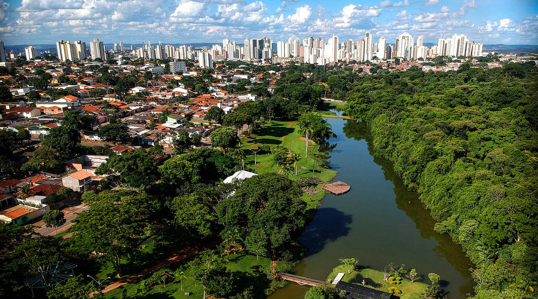
Right in the city centre, a few minutes from Praça Cívica, is the Bosque dos Buritis. This park was one of the first to be built in the city, after which the city gained a large number of other parks. Despite being surrounded by important avenues, in Bosque dos Buritis you'll find a great tranquility. This is the most suitable place to rest in the central region. In addition to the many trees, the space has three lakes. The abundance of greenery and water creates a very cool environment, ideal for escaping the intense sun and dry climate of the city.
You are wrong if you think that Goiânia only has things to do during the day. That's because, in addition to being known for its parks, the city is also known for its bars. You can find good bars all over the city, but there is a region that concentrates most of them, including the most famous. That region is the Marista sector, which comprises the south of the Bosque dos Buritis until the Parque do Areião. One of the most visited is Bahrem. Although this bar is huge, it is always full, and often frequented by country singers.
Hottest month |
October (27 °C avg) |
|
Coldest month |
June (22 °C avg) |
|
Wettest month |
December (248.8 mm avg) |
|
Windiest month |
September (11 km/h avg) |
|
Annual precip. |
1304.4 mm (per year) |
Crystal clear rivers full of fish, caves and waterfalls: the combination that made Bonito famous, also appears in Nobres – a great destination for diving and snorkeling, but with lower prices.
It is really impossible not to compare the attractions of Nobres to those of Bonito. The difference between them is that Nobres has prices that are definitely more accessible than the tourist city of Mato Grosso do Sul. This is partly due to the still timid infrastructure of Nobres. It is a city that preserves the countryside and, for those who enjoy little explored nature, Nobres can be an excellent option.
The crystal clear rivers full of fish, caves and beautiful waterfalls are more specifically in Bom Jardim, a small district of Nobres with approximately 500 inhabitants. The village is located 65 kilometers from the city center and has a number of hotels not much larger than ten. However, as it is closer to the attractions, Bom Jardim has become the best place to stay, unless you want a little more comfort and don't mind commuting every day to the center of Nobres, which has more alternatives.
The Aquário Encantado is one of the most famous places in Bom Jardim. It is hidden among trees, with blue waters and a great diversity of fish. It has three springs, where you can float down the river and see many small fish and even stingrays.
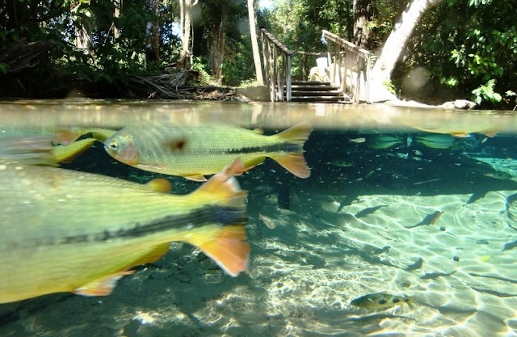
Another highlight is the Cachoeira Serra Azul waterfall, which is located in the city of Rosário Oeste, neighboring Nobres. The waterfall is 45 meters high and forms a clear blue lagoon, which impresses tourists who face the trail that leads to it. There are several kind of fish there, which do not refuse some nice fruits. Just show the food and they jump out of the water!
Floating on the Rio Triste is one of the most unmissable rides in Nobres, which takes place on a one-kilometer stretch of river, also located in the neighboring municipality Rosário Oeste. To take the tour, it is necessary to hire a guide and a tour package that already includes a life jacket, mask with snorkel and appropriate sandals. The Rio Triste has a bluish tone and extremely transparent water, therefore it is forbidden to walk on the bottom, use repellent or sunscreen.
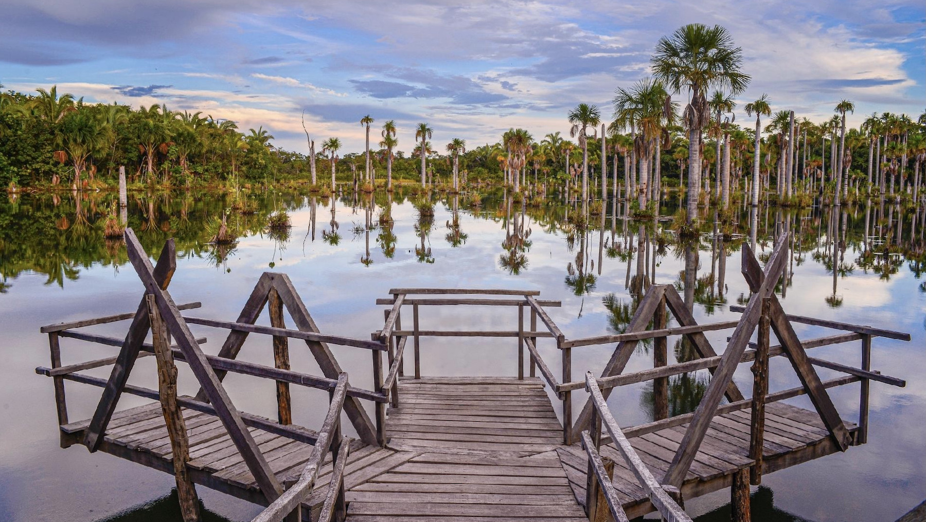
The Lagoa das Araras lagoon is a place for contemplation and observation of the beauty of nature. You will be able to have a closer view of blue macaws, parrots, parakeets, as well as a beautiful lagoon with several Buriti trees. Don't forget to bring insect repellent and binoculars to observe the birds even more closely. A good hour to visit the site is in the late afternoon between 5:30 pm and 6:00 pm, when it is possible to contemplate a beautiful sunset.
Hottest month |
September (31 °C avg) |
|
Coldest month |
July (28 °C avg) |
|
Wettest month |
January (220.5 mm avg) |
|
Windiest month |
August (10 km/h avg) |
|
Annual precip. |
1041.6 mm (per year) |
Tourism in the Pantanal region attracts many foreign tourists, who come to Brazil in search of the famous flora and fauna, and to explore its natural beauty. The Pantanal is one of the largest wetlands in the world and the ideal destination for ecotourism fans. After all, there are more than 2,000 species of plants and more than 1,000 species of animals to discover and see up close.
The first step when planning a trip for tourism to the Pantanal is to choose which region to visit. For those who want to watch cultural events, typical dances, practice fishing and see aquatic animals up close, the North Pantanal is the most recommended. For those who want to have a closer contact with wild animals and practice canoeing, the South Pantanal is ideal.
Regardless of your choice, both in the south and in the north, Pantanal offers traditional tours that need to be on every visitor's itinerary. However, some attractions are unique to each region and it will depend on what you plan and expect from your trip and which tours interest you the most.
To get to know the Pantanal well, it is recommended to opt for a all-inclusive package, which includes tours, accomodation and food. If the idea is to see animals and practice ecotourism without haste, you can also stay at one of the farms, which usually offer full board accomodation and organize tours. There are hiking trails, photographic safaris, bird watching and boat and horseback riding. This is the essence of the Pantanal. Fishing attracts people who spend days on the water in one of the boat hotels, and there are also ecotourism hotels that offer short-stay accomodation.
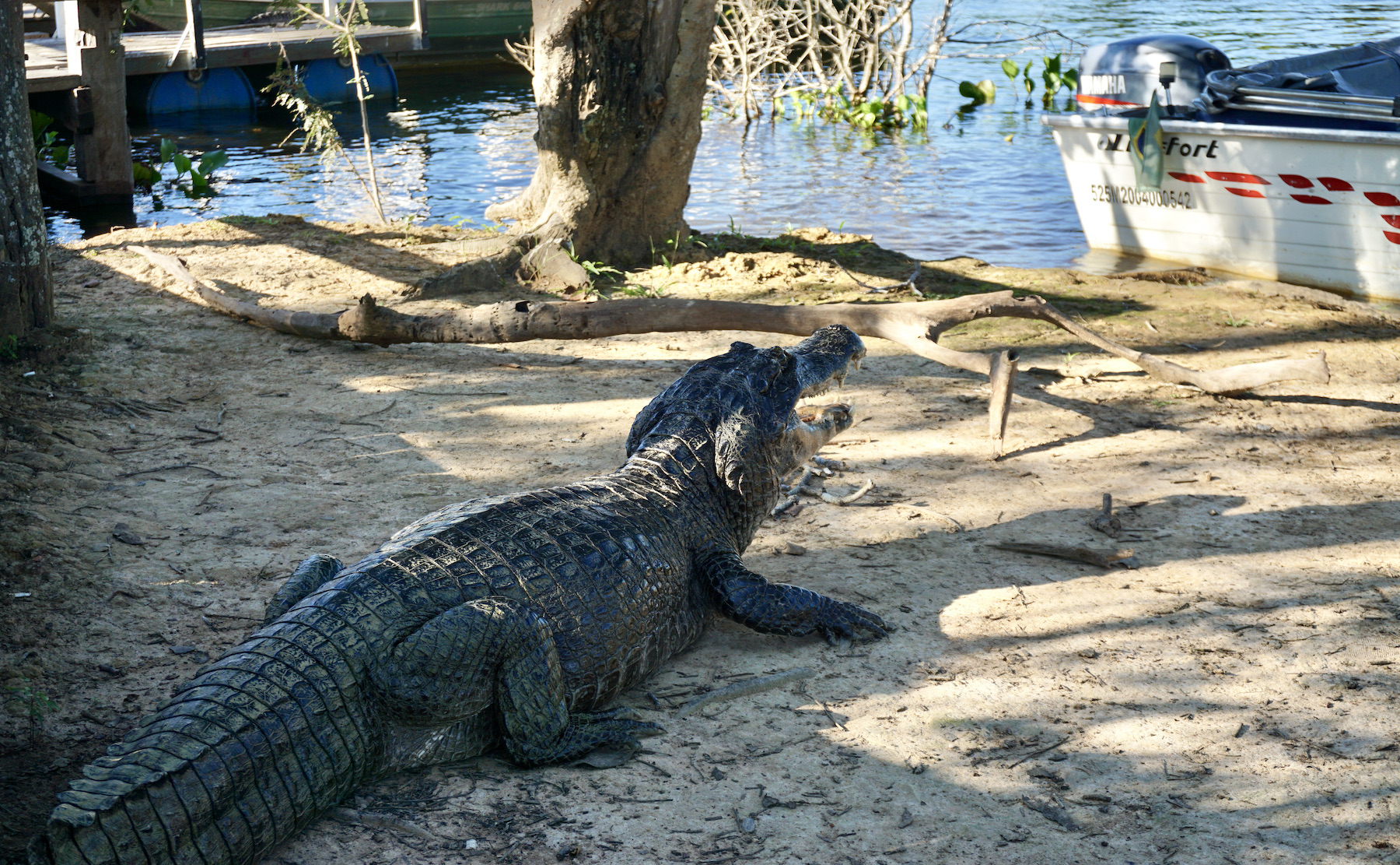
The safari is the perfect tour for anyone looking to admire the local flora and fauna. The safari is done in a car that travels a much longer distance than you would reach on foot. With the help and experience of the guides, you will be able to take a closer look at alligators, wolves, macaws, capybaras, toucans and many others. The best time of year to take the tour is between July and September, when the weather is driest. With luck you can see animals such as a jaguar, anteaters and even anacondas.
To take a canoe trip through the Pantanal, you don't necessarily need any experience with canoeing. You will only need to find a tour agency and you will be able to travel through the waters of the wetland paddling in a small boat that accommodates one or two people. There are also boat trips offered at these tour agencies, which usually last about three hours and during the trip travellers can see alligators, rare birds and many mammals in their natural habitat up close.
Hottest month |
October (30 °C avg) |
|
Coldest month |
July (25 °C avg) |
|
Wettest month |
January (159.0 mm avg) |
|
Windiest month |
September (10 km/h avg) |
|
Annual precip. |
741.1 mm (per year) |
The third oldest city in the State of Goiás, founded in 1727, Pirenópolis knows how to combine its historical attractions with its beautiful natural landscape, full of waterfalls. And it has become one of the best travel destinations in the Midwest.
On the outskirts, the city hides ecological reserves full of waterfalls perfect for bathing or practicing activities such as rappelling. There are also hiking trails that lead to the natural viewpoints of Serra dos Pirineus, rivers to practice rafting and tubing, and historic farms such as Babylon, which hold memories and memorabilia from the 18th century.
With a good accomodation infrastructure, Pirenópolis has constant movement on weekends. But the city is really crowded during the celebrations of the Festa do Divino, considered one of the most beautiful folkloric manifestations in Brazil.
The tour of Pirenópolis always starts at the beautiful and well-preserved Historic Center, which has attractions such as the churches Igreja Matriz, Igreja Nossa Senhora do Bonfim and Igreja Nossa Senhora do Carmo, and the scenic wooden bridge over the Rio das Almas river. Take the opportunity to walk calmly and enjoy the mansions, small shops and colorful places.
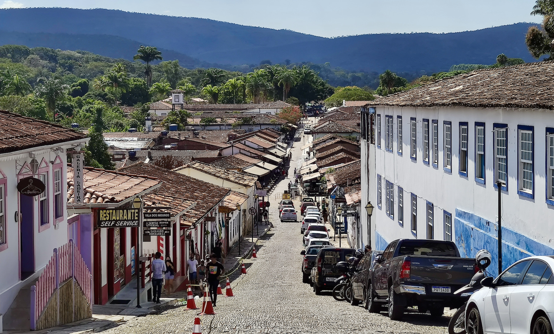
After walking through the Historic Center of Pirenópolis, it's time to explore some of the dozens of waterfalls in the region. And the good news is that, unlike many other destinations where you have to take long trails to reach the attractions, in Piri you can indulge yourself in relaxing baths along very short trails accessible to all ages. A great option for families and for those who are not willing to take long walks. Do not miss attractions such as Cachoeira do Rosário, Cachoeira do Lázaro, Cachoeira Santa Maria, Cachoeira do Abade and many other waterfalls in Pirenópolis. But if what you want is a little physical activity, don't miss the trails of Cachoeiras dos Dragões and Cachoeiras Bonsucesso, good options for those who like a challenge.
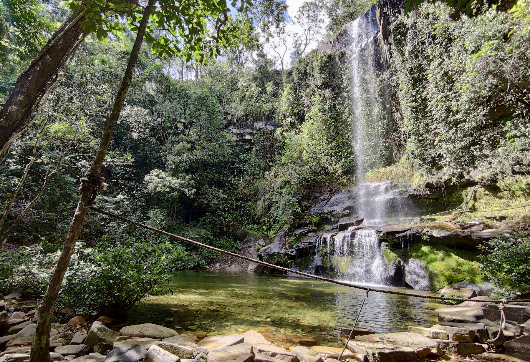
If during the day what attracts tourists are the waterfalls, at night the excitement is due to the excellent restaurants in Pirenópolis. The city is a gastronomic reference in Goiás and attracts tourists who enjoy a new dining experience. Rua do Lazer is a good starting point to start exploring the pleasures of the palate, but there are good restaurants throughout the region, including some located on farms with a rural atmosphere that gives it an extra charm. Enjoy all the regional flavors, including the traditional Goiás pie, the peculiar pequi fruit and the wonderful Pirenópolis pamonha (dish made with fresh corn).
Hottest month |
September (27 °C avg) |
|
Coldest month |
June (22 °C avg) |
|
Wettest month |
December (220.4 mm avg) |
|
Windiest month |
October (13 km/h avg) |
|
Annual precip. |
1204.1 mm (per year) |
For those who love tourism in the midst of nature, Terra Ronca is a true paradise, providing unforgettable tours to places where the sun does not always reach. That might sound a little confusing, but we are talking about one of the largest complexes of caves and caverns in all of Latin America, located in Brazilian territory.
Almost on the border between Goiás and Bahia, the Terra Ronca State Park offers attractions whose beauty lies "hidden" from tourists, and discovering them is rewarding to the eye.
With about 57,000 hectares, the place is not only one of the largest concentrations of caves in Brazil, but in all of Latin America! In all, there are more than 260 caves and caverns that have been cataloged in the complex. Not all are open to visitation and those that are can only be visited in the company of authorized guides. Where adventurers manage to go, eyes turn to unique landscapes, with rivers, waterfalls and hidden and preserved rock formations.
If the first impression is what counts, caverna Angélica will leave visitors with their jaws dropped and enchanted by the beauty of the state park. The first cave on the route of many tourists is among the most beautiful in all of Brazil. Its 17 kilometer extension and ten halls make the crossing last a whole day. Therefore, it is common to spend the night inside to complete the journey. In addition to the various speleothems, rock formations that emerged from the sedimentation and crystallization of minerals in the water, stop to admire the river that cuts through its interior; so calm, the water seems to reflect its surroundings.
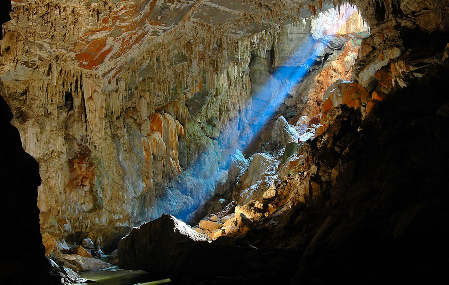
The caverna Terra Ronca is the most famous cavern and one of the most impressive in the region. To find out why, just face its entrance: an imposing opening of 96 meters high and 120 meters wide welcomes the willing adventurers to explore its interior. With rooms up to 90 meters high, it hosts the traditional Bom Jesus da Lapa party. Some rooms receive only one hour of sunlight a day, while others only have artificial lighting that allows tourism.
The caverna Terra Ronca is actually divided into two parts. To access Terra Ronca II, you must leave your vanity aside, throw yourself into the waters of the Rio da Lapa, which cuts through the complex, and cross it to the other end. It is 120 meters to the entrance of the cavern and one kilometer long to explore the rock formations contained in its interior.
The São Mateus cave boasts the title of largest cave in the Terra Ronca State Park, in addition to being in the top-3 of the largest Brazilian caves, with 24 kilometers in length. That should be reason enough for you to want to get to know it, but we guarantee that the look inside is impressive. A real reward for those who face the steep descent through a narrow crevice to reach its interior.
Hottest month |
October (27 °C avg) |
|
Coldest month |
July (23 °C avg) |
|
Wettest month |
December (161.0 mm avg) |
|
Windiest month |
September (13 km/h avg) |
|
Annual precip. |
729.6 mm (per year) |
Located in the heart of Rio de Janeiro, the Tijuca National Park was created in 1961 and brings together some of the most coveted attractions of the “Marvelous City”, as well as great options for tours for those who enjoy ecotourism and adventure sports.
Protecting the Corcovado mountain and the Christ the Redeemer monument alone would make Tijuca National Park already a very special place in the city of Rio de Janeiro, but the park is much more than that: it also protects the world's first replanted forest, a multitude of trails and waterfalls, as well as historic ruins from the time of the coffee farms. All this right in the center of Rio de Janeiro. The Tijuca National Park is undoubtedly a key part of making Rio de Janeiro the well-known Marvelous City.
Tijuca National Park has a lot of history as well: its forests are the result of the first major reforestation project in the world. After the almost total destruction of the forest for charcoal production and coffee plantations, the water sources that supplied the city began to dry up, after that, a process of expropriation of the coffee farms in the region and the replanting of more than 100,000 trees began.
The city's main attraction is located on a 704 meter high stone mountain. Viewed from all over Rio de Janeiro, this Christ the Redeemer monument was elected in 2007 one of the Seven Wonders of the Modern World and one of the Seven New Wonders of the World. The statue was inaugurated in 1931, after about five years of work, and is 38 meters high and weighs approximately 1,100 tons. It is the second largest statue of Christ in the world.
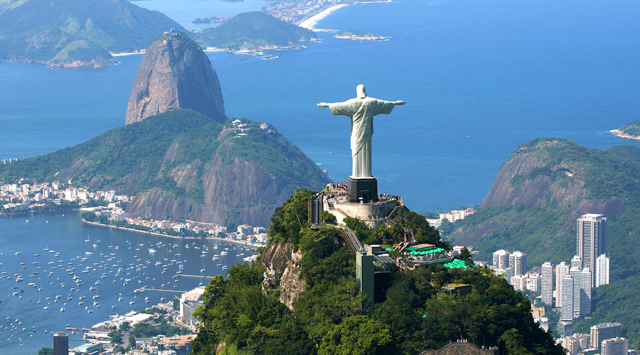
The Circuito dos Picos is a hike of approximately 19 kilometers and passes through the ten main peaks of the national park, including the famous Pico da Tijuca and Bico do Papagaio. The trail begins at the gate of the Afonso Viseu square and passes by numerous natural and cultural historical attractions along its entire path, such as Pedra do Conde, Morro do Anhanguera, Mirante do Excelsior, Pico da Tijuca, Bico do Papagaio, Morro da Taquara, Museu do Açude and Mirante da Cascatinha.
At the foot of Christ the Redeemer, the Paineiras road is one of its access roads. Along the way, visitors will find some mineral water sources, as well as several viewpoints with exceptional views of the South Zone of the city, including the Rodrigo de Freitas lagoon, the beaches of Copacabana, Ipanema and Leblon, and the Cagarras Islands Natural Monument. On weekends, the five kilometer stretch is exclusively for pedestrians.
Hottest month |
February (24 °C avg) |
|
Coldest month |
July (18 °C avg) |
|
Wettest month |
January (87.4 mm avg) |
|
Windiest month |
September (10 km/h avg) |
|
Annual precip. |
679.3 mm (per year) |
Mountains and sea combine in Serra da Bocaina to offer visitors one of the most complete destinations for ecotourism in Brazil. Created as an environmental preservation area, Serra da Bocaina National Park has become a natural paradise for those interested in adventure tourism. Within 134 thousand hectares, the variety of attractions is enormous, being provided mainly by the altitude variation.
The Trilha do Ouro, which is the most popular trail, and many others lead to places where it is possible to observe nature as far as the eye can see, such as the Mirante do Sobrado viewpoint and Pico do Tira Chapéu, the highest point in the park.
Rivers and waterfalls also blend into the scenery, where the animal and plant diversity of native Atlantic Forest species remain untouched.
The main attraction of the park is the Trilha do Ouro, also known as Caminho de Mambucaba, this trail is an old colonial path built by the Indians in the 17th century to transport the gold that came from Minas Gerais. With 40 kilometers in length, the crossing is covered in three or four days of moderate walking, passing by historical places, such as centenary farms and ruins of an old sugar cane mill, and the most famous waterfalls in the region, such as the Santo Izidro, Veados and Posses waterfalls.
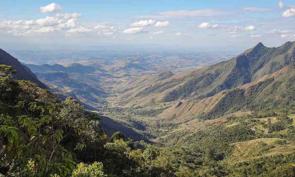
The Pico do Tira Chapéu is the highest point of Serra da Bocaina with more than 2,000 meters of altitude, from where it is possible to see from the Paraíba Valley to the bays of Angra dos Reis and Paraty. The nine kilometer trail to the top, although not very difficult, can last up to two hours depending on the pace of the hike. Pico da Bacia is the second highest summit in the region, with 2,050 meters of altitude, just behind Pico do Tira Chapéu. It offers a beautiful view of the cities of the Paraíba Valley, such as Resende, Itatiaia, Cruzeiro and the Serra da Mantiqueira. It is necessary to face a trail of 16 kilometers in total (round trip) to reach its top.
Cachoeira Santo Izidro, unlike the other waterfalls, can be accessed by a very quiet and short trail from the plateau of Serra da Bocaina. It is formed by a sequence of two falls and has a beautiful pool of crystalline waters and emerald green tones, ideal for a relaxing dive. It is one of the most amazing tours of Serra da Bocaina and also one of the favorite waterfalls to go for a swim.
Hottest month |
January (24 °C avg) |
|
Coldest month |
July (19 °C avg) |
|
Wettest month |
January (255 mm avg) |
|
Windiest month |
October (7 km/h avg) |
|
Annual precip. |
1379.3 mm (per year) |
Better known as Água Mineral, Brasília National Park is an ecological park and has trails and natural pools, making it an excellent leisure option in Brasília. The park has two pools of mineral water that are always flowing, space for picnics and barbecues in the shade of the trees, as well as walks and trails in the woods.
Altogether, the park has 30 thousand hectares of extension. The area is preserved and thus contributes to the preservation of natural ecosystems in the region and maintains the vegetation in a natural state, contributing to the balance of climatic conditions and preventing soil erosion in the Federal District.
The Brasília National Park has two trails, the Capivara trail, which takes about 20 minutes to finish, and the Cristal Água trail, which lasts around one hour. But the main attraction is the swimming pools. They were formed from the water wells, which arose on the banks of the Córrego Acampamento, by the extraction of sand carried out before the creation of Brasília.
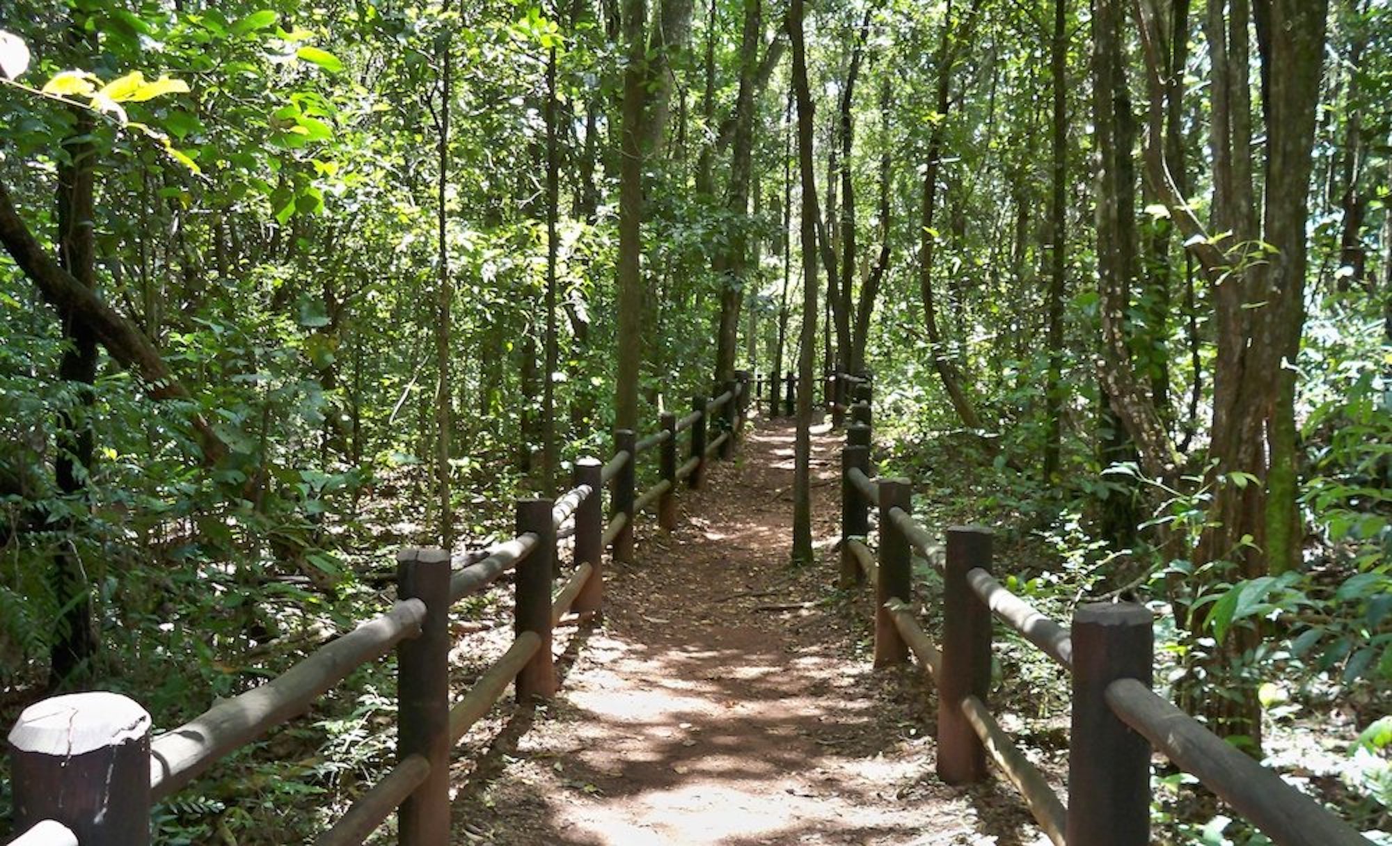
The park also has dozens of springs that sprout from the earth with pure and clean water. The park's waters form three important hydrographic basins in the Federal District; the Tocantins, Paranoá and the São Francisco basin. One of the springs that draws the most attention in the park is the Peito de Moça spring, one of the most beautiful in the park. The name was given due to a small elevation in the rock, which left it in the shape of a breast, where pure and crystalline water gushes.
Hottest month |
October (25 °C avg) |
|
Coldest month |
June (20 °C avg) |
|
Wettest month |
December (334.2 mm avg) |
|
Windiest month |
September (12 km/h avg) |
|
Annual precip. |
1434.6 mm (per year) |
The Aparados da Serra National Park is one of the most spectacular regions in Southern Brazil. Full of beautiful landscapes and tours for those who like adventures, such as hiking, extreme sports and horseback riding, this place seems to have been drawn by hand.
Aparados da Serra is located between Santa Catarina and Rio Grande do Sul. The region has more than 30 thousand hectares and has a vast area of natural preservation.
The Park has a variety of attractions and perfect places to practice sports activities; you can go hiking, diving in waterfalls, horseback riding and abseiling.
The most famous trail of the park, the Trilha do Rio do Boi, takes place inside the canyon cleft and is located 12 kilometers from the center of Praia Grande. It is a good option for those who like to push their limits, as it is not a trail for beginners, mainly because in some stretches it will be necessary to cross the river. Also, bring good walking shoes: the trail lasts from five to eight hours, but it's worth every moment spent there! The tour is really phenomenal, in addition to the canyons of almost 800 meters deep, you will pass by waterfalls, wells and breathtaking views. At the end, you can see the inverse view of the Itaimbezinho Canyon.
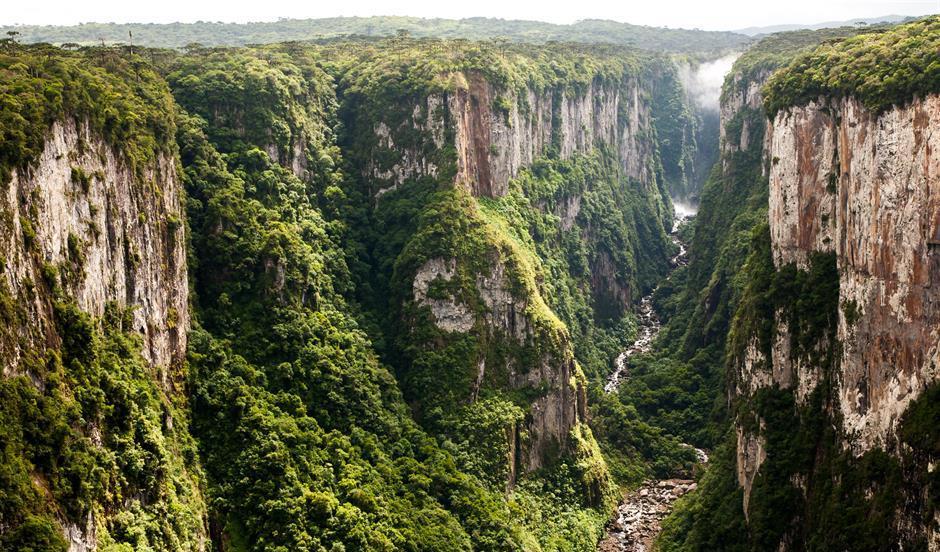
There are nine canyons located within the Aparados da Serra and Serra Geral parks, of which the biggest attraction is the Itaimbezinho Canyon, extending for about 5,800 meters, with a width of 2,000 meters and a height of 720 meters. There, it is possible to do two trails, the Cotovelo and the Vértice, where you will take a walk along the edges of the canyon, and to complete all routes on foot it will take you about three hours. See the grandeur of nature in its entirety, unique views of the canyons and also the waterfalls of Andorinhas and Véu de Noiva.
In addition to the fame of the Itaimbezinho Canyon, the Índios Coroados Canyon has a beautiful view of the sunset, where you can feel the energy of the environment and relax with all the peace it has to transmit.
Hottest month |
February (20 °C avg) |
|
Coldest month |
July (12 °C avg) |
|
Wettest month |
October (222.5 mm avg) |
|
Windiest month |
September (12 km/h avg) |
|
Annual precip. |
1349.3 mm (per year) |
The Serra Geral National Park is an extension of the Aparados da Serra National Park. It was created in 1992, as a way to expand the area of protection of the territory formed by large Brazilian canyons, thus increasing almost three times the size of legal protection area of the local ecosystem. It reproduces the same rugged landschape, with the formation of walls and canyons, such as the Fortaleza canyon, which is up to 500 meters high.
Divided into two areas, one of 15 thousand hectares and another of 2,300 hectares, the vegetation of the park preserves a significant portion of altitude fields, forests with Araucaria and Atlantic Forest, and is cut by several rivers of shallow depth and waterfalls such as the Bonito, Porteira Velha, Pai José and Costão Novo waterfall.
There is a short and easy trail to see the Fortaleza Canyon, one of the biggest canyons in Brazil. She is about 500 meters high in every direction and is flat. The Trilha do Mirante trail takes you to the edge of the canyon and is about three kilometers (round trip), and leads visitors to the viewpoint (also known as "sacada"), the highest point in the region.
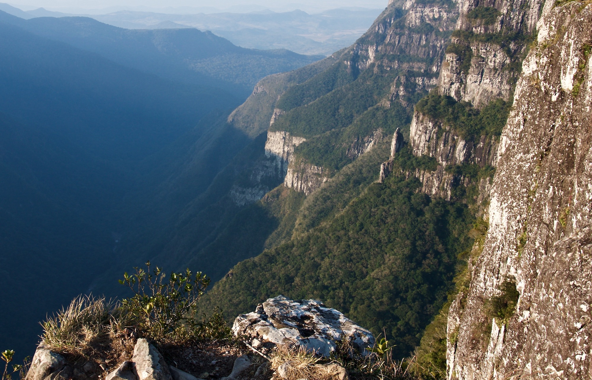
Within the park's limits there are more than four large canyons, of which the Fortaleza and Malacara Canyons are the best known. The Fortaleza Canyon is the most explored and has the easiest access being well at the park's gate, 23 kilometer from the urban area of Cambará do Sul. The trails to the edges of Canyon Fortaleza are liberated by the ICMBio to access freely, but the use of local guides is always recommended. To explore the edges of the other canyons in the park, as well as accessing the canyon's clefts, it is mandatory to contract a local guide.
Hottest month |
February (20 °C avg) |
|
Coldest month |
July (12 °C avg) |
|
Wettest month |
October (196.4 mm avg) |
|
Windiest month |
October (11 km/h avg) |
|
Annual precip. |
1747.1 mm (per year) |
The Serra dos Órgãos National Park is an area of conservation with a rich ecosystem, where it is possible to experience various types of tours and practice radical sports such as rapel, climbing and hiking. In addition, it counts on 200 square kilometers of extension, showcasing numerous mountain peaks and waterfalls.
The mountains called Dedo de Deus and Escalavrado are iconic. Along with nearby peaks, they form steep rock walls with dramatic characteristics and can be seen on any clear day from within the city of Rio de Janeiro.
Altogether, this national park is a paradise for people who enjoy adventure and practicing ecotourism amidst preserved nature. It is worth knowing that this park borders the most beautiful cities in the state of Rio de Janeiro, such as Guapimirim, Teresópolis and Petrópolis.
The Dedo de Deus peak (finger of God) is a great rocky formation that, from its viewpoint, provides an incredible view of the natural beauty of Rio de Janeiro. In addition, its height of 1,692 meters allows the practice of radical sports, such as mountaineering. This peak stands out in relation to the others because of its form, which looks like a finger pointed up. So his name was born: finger of God.
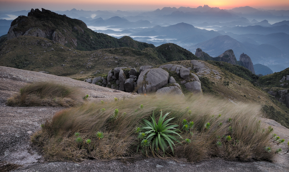
The Pedra do Sino peak has an altitude of 2,275 meters, making it possible to practice mountaineering and camping. In addition, the peak has a breathtaking view, being the perfect place for adventurers. Because of the high altitude, the temperature on this mountain falls considerably during the coldest period of the year, making it possible to observe even small layers of ice.
Among the three gateway cities of the park, Petrópolis is the less structured. And the visitor's profile is more adventurous, compared to those arriving by Teresópolis or Guapimirim. From there leave three trails: the Circuito das Bromélias, which leads to five wells with natural pools; a trail leading to the Véu da Noiva waterfall, where rapel and cascading can be practiced; and a trail to the Pedra do Açu peak, from where the Bay of Guanabara and the finger of God can be observed – the last trail is also the first stage of the classic crossing that connects Petrópolis to Teresópolis.
Hottest month |
February (23 °C avg) |
|
Coldest month |
July (18 °C avg) |
|
Wettest month |
December (242.4 mm avg) |
|
Windiest month |
September (8 km/h avg) |
|
Annual precip. |
1342.3 mm (per year) |
Deep valleys, mountains cut out by narrow roads and one of the colder climates in Brazil are some of the scenery of the São Joaquim National Park, in the Serrana region of Santa Catarina, 165 kilometers from Florianópolis.
It was in this park where Brazil recorded one of the lowest temperatures in 1996: -17.8 °C, on the hill called Morro da Igreja, where the Pedra Furada is located – a rock with a central slit of 30 meters in diameter.
São Joaquim National Park was created with the objective of protecting remnants of Araucaria Forests in the mountain regions of the south of the Santa Catarina state. One of the characteristics of the park is its geological formation of about 133 million years old, composed of volcanic rocks (basalt) that give rise to an ideal place to recharge energy.
The Morro da Igreja and Pedra Furada are the most famous natural attractions in the park and are at the limit of the Catarinenses Municipalities of Bom Jardim da Serra, Orleans and Urubici. The viewpoint of the Morro da Igreja, at 1,822 meters of altitude, is one of the highest in Southern Brazil, and has a view at the natural stone monument Pedra Furada, a natural portal of about 30 meters in diameter.
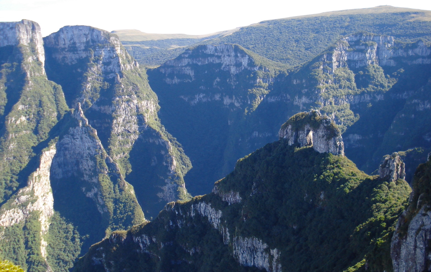
With a steep slope and uneven ground, the Pedra Furada trail of 6.2 kilometers (round trip) gives access to the rock and overlooks the walls of the Serra Geral.
Known as "Campos de Santa Barbara", in the central sector of São Joaquim National Park, the region is marked by altitude fields and waterfalls, with peaks above 1,650 meters, and houses trails ranging from one to eight kilometers long, known as the Santa Barbara hiking tracks. One of the highlights is the trail of the Cemitério Histórico, with centenary constructions.
Hottest month |
February (16 °C avg) |
|
Coldest month |
July (9 °C avg) |
|
Wettest month |
January (199.4 mm avg) |
|
Windiest month |
September (11 km/h avg) |
|
Annual precip. |
1625.3 mm (per year) |
With an incredible geological and archaeological heritage, the Cavernas do Peruaçu National Park is one of the must-see destinations to practice ecotourism in Minas Gerais.
The park, besides having surreal caves, keeps an invaluable treasure: rock paintings that can be up to 9,000 years old. The level of conservation of these records is amazing, as well as the grandeur of the caves that harbor them.
The trails that run through the National Park pass by breathtaking landscapes and provide fantastic experiences as they reveal the interior of caves and prehistoric records.
The main attraction of the park is the Gruta do Janelão, which is immense. Its grandiosity already starts at its entrance, which is about 100 meters high and showcases a large open-air atelier with several cave paintings. Inside, majestic halls reveal stunning rock formations and incredible views. In addition, gigantic natural ceiling windows and cracks maintain the clarity of the place.
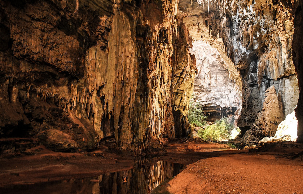
Unlike the Gruta do Janelão, the Gruta Bonita is totally dark. It is the only one of this type open to visitation. Inside, preserved halls and galleries are filled with speleothems – rock formations. It is in the Gruta Bonita where the famous Salão Vermelho (red hall) is found, covered by reddish sediments that make it unique.
The entrance of the Gruta do Índio has archaeological records reaching from the floor to the ceiling. The large panels of cave paintings are beautiful and impress by their state of conservation. In this cave, you can also find the Mirante do Índio viewpoint, which allows you to also see the entrance of the Gruta do Janelão.
Hottest month |
October (25 °C avg) |
|
Coldest month |
July (21 °C avg) |
|
Wettest month |
December (143.8 mm avg) |
|
Windiest month |
September (13 km/h avg) |
|
Annual precip. |
528.3 mm (per year) |
The city of Itatiaia is synonymous with ecotourism, and is a great choice for those who want to escape the hustle of large urban centers and enjoy days of peace and tranquility in nature – whether with family, alone or with friends.
Divided into two parts, the high and low part, the Itatiaia National Park has activities for all lovers of nature. The lower part is ideal for those looking for something more peaceful with short, easily accessible trails and several waterfalls.
The high part is ideal for those who prefer adventure and adrenaline, with trails of high difficulty and always heading to the top, to enjoy the fascinating views and admire the various rock formations such as Pico das Agulhas Negras. It is the oldest national park in the country.
The low part is where the trails, waterfalls and viewpoints are located, with the easiest access, without requiring a lot of effort and physical preparation. And in less than one kilometer of walking, you can already reach some of the waterfalls. Around here, you will be enchanted by the preserved forest and also have the experience of encountering different animals along the way.
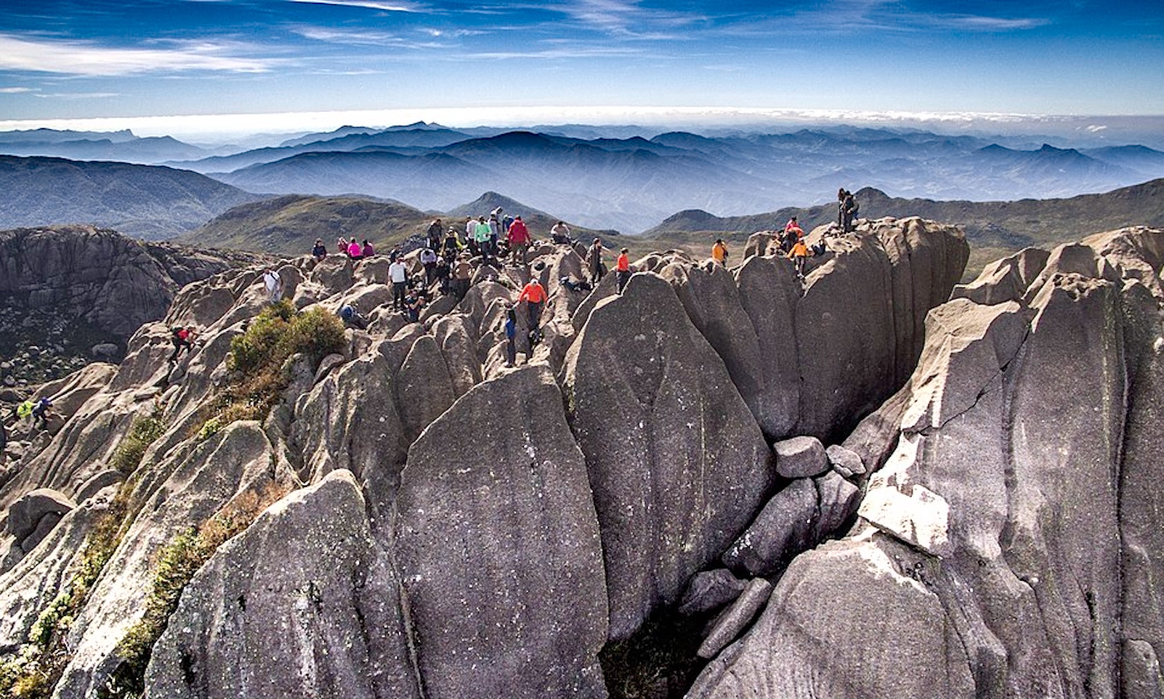
Cachoeira Véu da Noiva It is the most beautiful waterfall in the Itatiaia National Park, which presents its visitors with a 40 meter high drop, which looks like a wedding veil. The Véu da Noiva waterfall is perfect for those looking for contact with nature and admiring all its beauty. The water, like the other waterfalls, is quite cold, but it's worth a dip to renew your energy. The low part offers various other waterfalls, such as the Cachoeira Itaporani and Cachoeira do Poranga, as well as lagoons, natural pools and hiking trails.
The high part offers a lot of peaks and lookouts, which provide beautiful views of the Serra da Mantiqueira and the Vale do Paraíba. There you will find the famous Pico das Agulhas Negras and Pico das Prateleiras, one of the main attractions of the high part of the park.
One of the most popular tourist spots in Itatiaia is the Pico das Agulhas Negras. It is the fifth largest in Brazil, with its 2791 meters of altitude, and the highest in Rio de Janeiro. The peak is a rocky mountain with unusual and surprising shapes, considered one of the most beautiful in Brazil. You can choose to climb to its base or even to the summit.
Hottest month |
February (26 °C avg) |
|
Coldest month |
July (20 °C avg) |
|
Wettest month |
January (370.8 mm avg) |
|
Windiest month |
September (8 km/h avg) |
|
Annual precip. |
1728.3 mm (per year) |